
Cammino della Sibilla
Among villages, a wonderful lake, a regional park and two beautiful reserves.
The walk is an 87.8-kilometer-long route that starts from the square in the center of Italy (Piazza San Rufo) in Rieti and ends in Tivoli (RM), specifically in the small square adjacent to the temples of Vesta and the Sibyl from which it also takes its name. Along the way we encounter villages of timeless beauty, a wonderful lake, a regional park and two beautiful reserves. History, culture, art, cuisine and nature are the faithful companions of the journey of those who decide to walk the Cammino della Sibilla.
HISTORY
The logo
The story of the logo of Cammino della Sibilla is inextricably linked to the emotions of us frequenters of the Mount Catillo Reserve. To represent this path, a tree was chosen as the symbol, not just any tree but a cork oak, specifically the first oak of the Serivitola Cork oak forest that was encountered at the end of the climb starting at the entrance to the road to Don Nello del Raso. The oak tree was known to all as the “Guardian,” and a stop in the cool of its shade was a must before venturing into the wonderful cork oak forest. Unfortunately, the fate of the “Guardian” cork oak was tragic: during the fire that devastated the reserve in 2021, the oak was destroyed. However, its memory has remained alive in the memory of all those who know the Serivitola cork oak forest. For this very reason, the tree was chosen as the symbol of Cammino della Sibilla, which runs through the area where the “Guardian” was located. Every walker along this path will thus be able to pay homage to the history and natural heritage of this region, while continuing to preserve and protect the beauty of nature that surrounds us.
The colors
The various shades of blue in the logo are a tribute to the waters that accompany us along the way: The Velino River that we cross as we leave Rieti as soon as we begin the journey, the Turano River with its beautiful lake of the same name, and the Aniene River that we admire once we reach Tivoli
The name
The name was chosen as a tribute to the last jewel the path gives you i.e. the temples of Vesta and the Sibyl. The Temple of the Sibyl is an ancient Roman temple located on the acropolis of Tivoli, near the famous Temple of Vesta. Despite the attribution of the temple to the Sibyl Albunea, the deity to whom it was dedicated is not well known.
WATER SOURCES.
Water can be found in every town, hamlet or village along the way.
STAGE-BY-STAGE SERVICES
Each STAGE point has at least one grocery store, bar and place to eat.
SIGNAGE
Signage present with stickers, signs and ribbons. The mantra is follow the blue. We recommend using the Cammini d’Italia app with offline maps or GPX tracks (downloadable from the website)
DANGERS
Some sections of the route between Castel di Tora, Orvinio, Licenza and San Polo dei cavalieri with very limited telephone signal. The Licenza – San Polo dei Cavalieri STAGE has bottom with high number of stones.
ROAD BOTTOM.
30% asphalt
CREDENTIALS
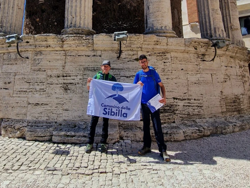
The credential serves to support the Cammino (which does not receive any form of public funding), to access the accommodation (especially donations) and restaurant activities that apply the discounted prices listed on the site, to collect the Testimonium once in Tivoli, and to access Villa Gregoriana with the dedicated discount. The credential can be applied for by making a voluntary donation and following the instructions on the website.
TENT WALK
You have to follow the regulations in force in the Lazio region
CONTACTS
Cammino della Sibilla ASD
Contact person: Antimo Borzacchiello
Tel./WhatsApp: +393757812233
Email: info@camminodellasibilla.com
Web site: www.camminodellasibilla.com
STAGE 01
STAGE 01: Rieti – Rocca Sinibalda
Length: 20.4 km
Height difference: 510 m
The 20.4-kilometer STAGE starts from Piazza San Rufo in the center of Rieti. According to an ancient tradition dating back to the Renaissance, the center of Italy is believed to be located in this square, based on the classics of Latin literature that referred to the Rieti area as the Umbilicus Italiae.
Once you leave Rieti, you follow the path along the Turano River and face a challenging climb to Belmonte in Sabina, a small, picturesque village with 627 inhabitants. This village is located on a ridge overlooking the Turano Valley and the Salaria. After Belmonte, continue along a scenic ridge to Rocca Sinibalda.
STAGE 02
STAGE 02: Rocca Sinibalda – Castel di Tora
Length: 14.1 km
Height difference: 360 m
The 14.1-kilometer STAGE begins in Rocca Sinibalda in the Piazza della Vittoria and ends in Castel di Tora in the Piazza San Giovanni. Rocca Sinibalda is located in the hills of Alta Sabina, at an altitude of 552 meters. Surrounded by green woods and overlooking the Turano River valley, this town has 791 inhabitants.
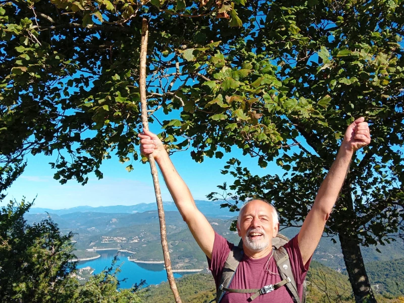
Along the way we pass through the charming village of Posticciola, which is an excellent stopping and refreshment point. Posticciola is the custodian of interesting monuments and offers enchanting views. Located at an altitude of 544 meters, it is one of the most characteristic towns in this part of Sabina. Attractions not to be missed include the historic center and the Museum of Peasant and Artisan Traditions. After passing Posticciola, we pass the Turano dam and the charming lake of the same name, continuing along a road closed to traffic that skirts the lake. The final goal of the day is Castel di Tora, a fascinating destination.
STAGE 03
STAGE 03: Castel di Tora – Orvinio
Length: 13.6 km
Height difference: 770 m
The route is 13.1 km long and is challenging, but offers extraordinary scenery. It starts from the charming town of Castel di Tora, which is one of the Most Beautiful Villages in Italy, and faces a long and scenic climb that leads up a wide ridge. Along the climb, you can admire the colors, reflections and various inlets of the small Turano artificial lake. Once you reach the ridge, you continue to the small town of Pozzaglia Sabina, crossing a grassy, enchanting and very steep ridge.
Starting from Pozzaglia Sabina, we head toward our final destination, Orvinio, crossing a charming mixed grove and wide plateaus. Just before arriving in Orvinio, along an easy dirt path leading to the foot of the town, we come across the fascinating Abbey of Santa Maria del Piano, which is almost completely in ruins but still retains a beautiful bell tower. After a final uphill effort, you reach Orvinio, a picturesque village rich in history, which had origins related to the monks of Santa Maria and later came into contact with Roman noble families.
STAGE 04
STAGE 04: Orvinio – License
Length: 14.7 km
Height difference: 380 m
Also in this 14.7-km long STAGE, as in the previous one, you exceed 1000 meters in altitude, even reaching 1100 meters. You start from Orvinio and follow the marked trail until you reach the pass, from where a long and steady descent begins to the village of Licenza. You cross the Monti Lucretili, a genuinely “wild” area despite being only 40 km as the crow flies from Rome (interestingly, the area is inhabited by the Apennine wolf, foxes, wild boar and a variety of wildlife).
The small village of Licenza, where the famous Maecenas had a splendid villa built for the great poet Horace, the remains of which can still be seen, will be the finishing point for today’s STAGE.
STAGE 05
STAGE 05: License – San Polo dei Cavalieri
Length: 16.2 km
Height difference: 750 m
The 16.2-kilometer-long STAGE is challenging, after leaving Licenza and flanking the Villa of Horace a long, steady climb takes us into the heart of the Lucretili Mountains until we reach the spectacular Monte Gennaro meadow and then begin the descent to the beautiful village of San Polo dei Cavalieri.
Stage entirely carried out in nature and characterized by the particularly challenging bottom due to the very high presence of stones, so especially after leaving the meadow continue with extreme care.
STAGE 06
STAGE 06: San Polo dei Cavalieri – Tivoli
Length: 8.85 km
Height difference: 120 m
The STAGE is only 8.85 km long starting from San Polo dei Cavalieri and ending in Tivoli. The route is very naturalistic in fact it takes place almost entirely in the beautiful Mount Catillo Reserve with its beautiful Sirividola cork forest.