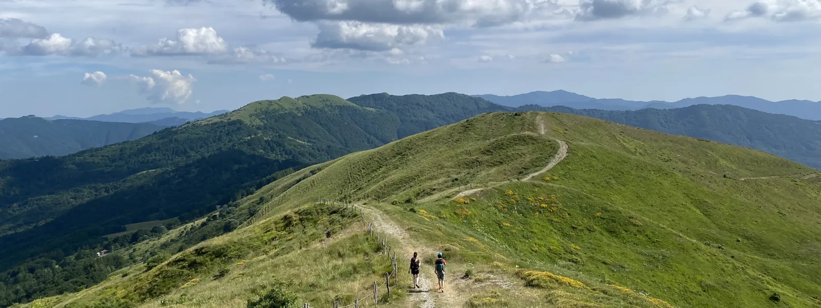
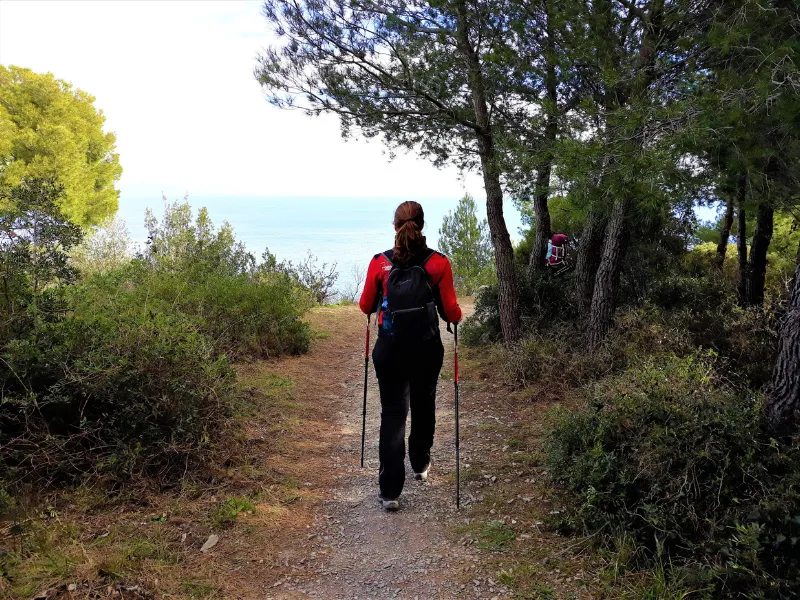
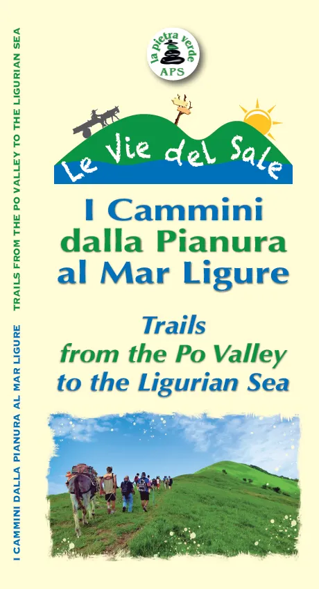
Via del Sale
The Via del Sale, in the past, constituted a network of mule tracks used to transport salt from the ports of Liguria to the hinterland.
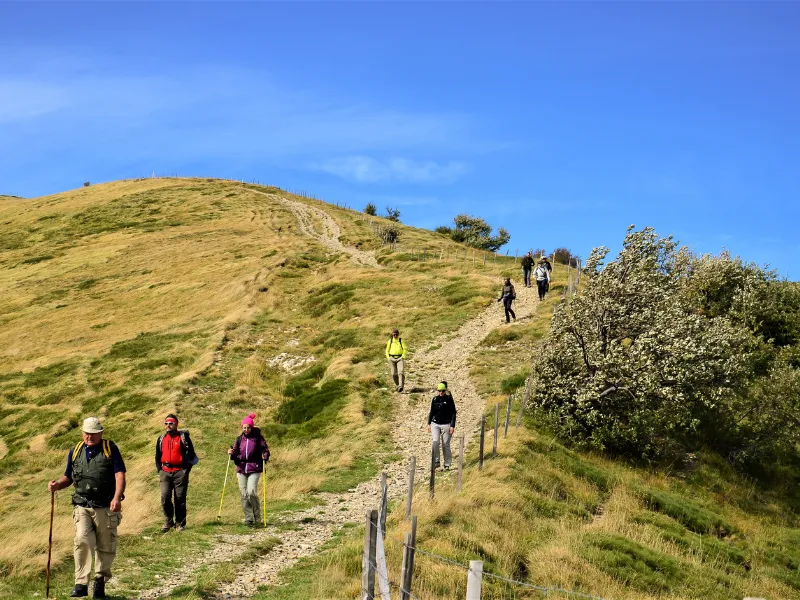
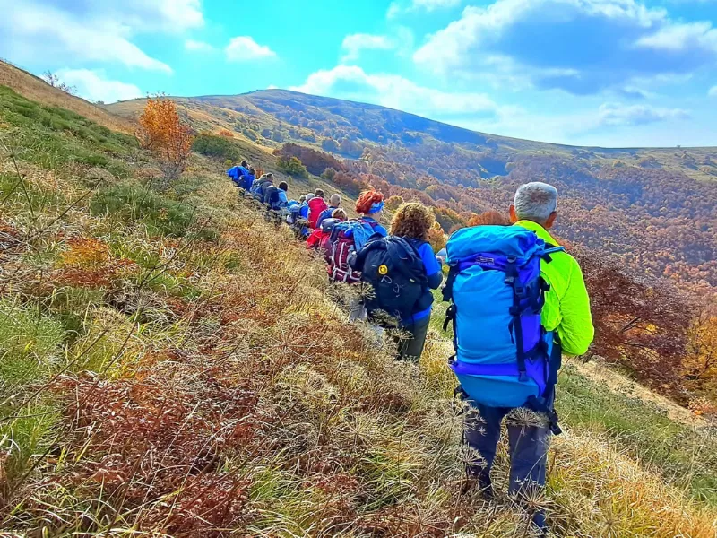
The Via del Sale, from Varzi to Portofino, for about 90 km divided into 4 STAGES retracing the ancient routes used to transport salt. These routes were used to carry the precious product from Genoa to Varzi-Pavia. One STAGE in Lombardy, Emilia Romagna and Piedmont and two in Liguria.
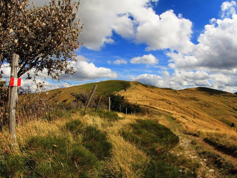
As of 2017, the Region of Liguria allocated funds to improve the Ligurian portion of this trail. The entire Via del Sale trail in Liguria is now clearly marked thanks to new signage.
HISTORY
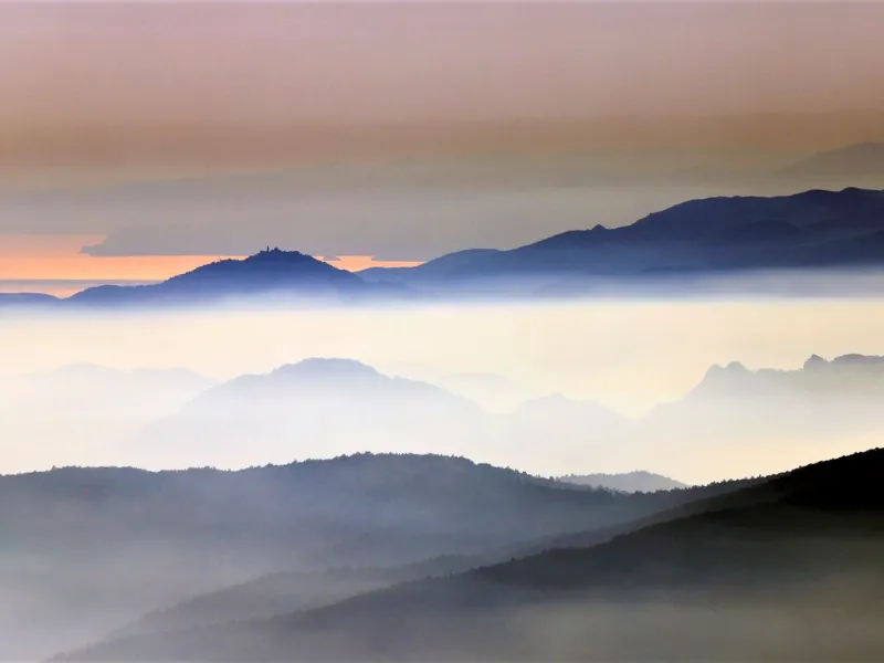
The salt trade between the Ligurian coast and the Po Valley has roots since Roman times and was developed through a dense network of paths and ridge routes. These routes included historic passages called “gioghi,” which allowed for the transportation of this vital product, essential for the survival of humans and animals.
While road construction along mountain or hill ridges presented greater technical challenges, it provided a healthier environment than the often swampy and unhealthy valleys. It also offered the security of being able to detect possible dangers in advance due to visibility from a distance.
After the fall of the Roman Empire and the period of Byzantine rule over Liguria, the Apennine ridges became boundary lines. It was not until the 7th century AD, with the Lombard conquest of Liguria, that the road system to and from Genoa was reorganized. In the medieval period, transportation was mainly by the use of summits, and the roads were maintained mainly by the large monasteries that sprang up in large numbers during that period, often with hospitality functions.
This road-related situation remained virtually unchanged until the first decades of the 19th century. At that time, the first roads accessible to carriages were built, and later railway lines were constructed to connect the hinterland.
CREDENTIAL
Yes, there is a credential and to request it you must send an email to associazionepietraverde@gmail.com indicating the type of credential required (“VIA DEL SALE VARZI – PORTOFINO”), the number of credentials needed and the address to which they should be sent.
Credentials are also available for purchase at the following establishments:
– Locanda Le Cicale (Varzi – PV)
– B&B La Corte di Nando (Varzi – PV)
– Albergo Capanne di Cosola (Capanne di Cosola – AL)
Contribution per credential: € 3.00
CONTACTS
The Project “Le Vie del Sale” is implemented by:
LA PIETRA VERDE E.T.S.
Registered office: Rifugio San Lorenzo, Fraz. Pallavicino, Cantalupo Ligure (AL)
e-mail: associazionepietraverde@gmail.com
Website: https://www.leviedelsale.org/
STAGE 01: VARZI - CAPANNE DI COSOLA
Departure: Varzi
Arrival: Capanne di Cosola
Distance: 21 km
Height difference: +1700 m / – 630 m
From the heart of Varzi, located at an elevation of 416 meters above sea level, start the route by heading toward a bridge that crosses the Staffora stream. After crossing the bridge, take an immediate left turn onto a dirt road, proceeding along the left side of the stream southward for about 800 meters. At the next fork, clearly indicated by red, white and red arrows, turn left. From here on, the dirt road turns into a path that begins to climb steeply between rocks and stone steps. After that, the path becomes a dirt road again, which continues uphill until it reaches the hamlet of Monteforte, located at an elevation of 697 meters above sea level. Here there is a drinking trough with drinking water. After turning left, continue slightly downhill on a short stretch of paved road and then turn left again on a stony dirt road uphill (Sentiero Del Grillo No. 036 Monteforte – Bosmenso), which in about 10 minutes leads to another fork in the road.
From here you leave the dirt road leading to the village of Bosmenso and turn right to climb through enchanting chestnut woods. After about 20 minutes, you reach the S.P. No. 91 Varzi-Castellaro di Cella. Continue along the paved road for about 2.5 km until you reach the village of Castellaro, which is at an altitude of 760 meters above sea level. At the junction for Casanova Staffora, take a right turn onto a paved road and, after about 50 meters, turn left again uphill for another 50-meter stretch. From this point on, the path becomes dirt and stony. Continue to the first fork, where you turn right, and immediately after at the second fork, turn left. Continue uphill through the woods until you reach an aqueduct reservoir. After negotiating a few hairpin bends, turn right onto a path that climbs steeply through beech forests.
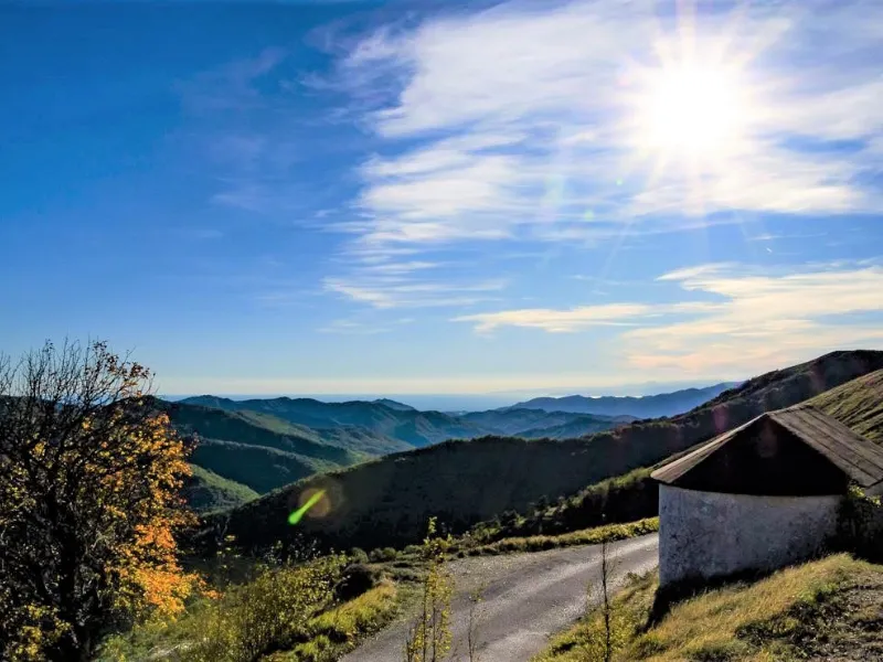
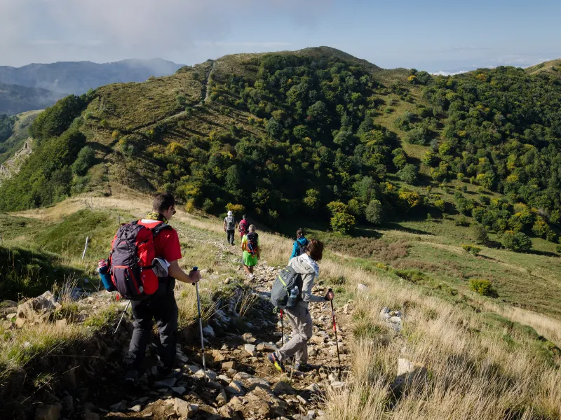
After about 15 minutes, you meet another fork in the road and turn right. Continue on a dirt road for about 200 meters and, past a small water tank on the right, continue straight uphill on a path until you reach another flat dirt road. You take a right turn and proceed for about 400 meters. Near a bend, you turn left and continue uphill into the beech forest. The path becomes steep and leads to a clearing surrounded by beech and fir trees. You meet a wide dirt road that, turning right, leads to Pian della Mora, located at an elevation of 1380 meters above sea level. Here there is a bivouac with picnic area and a junction that leads left to the village of Cegni (trail No. 004). Continue straight across the summit meadows and cross the La Via del Mare trail (section No. 105), coming from the town of Tortona and heading to Portofino.
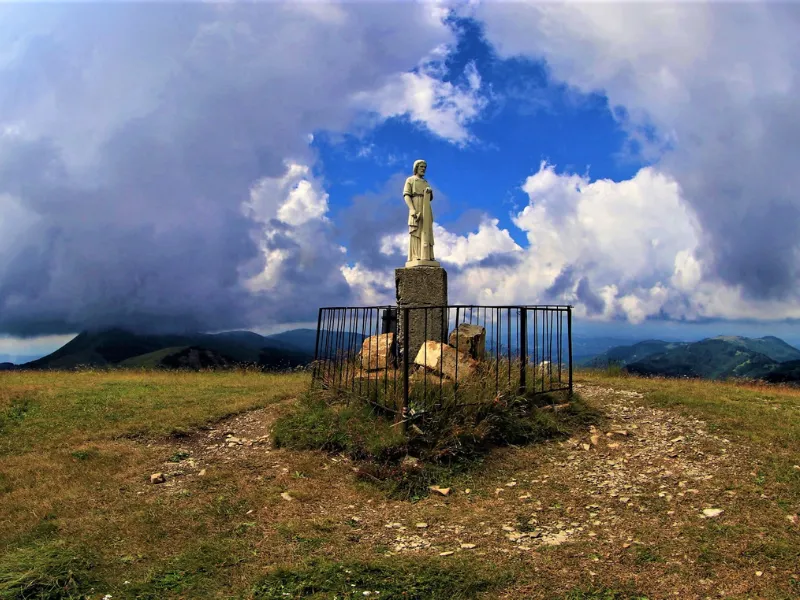
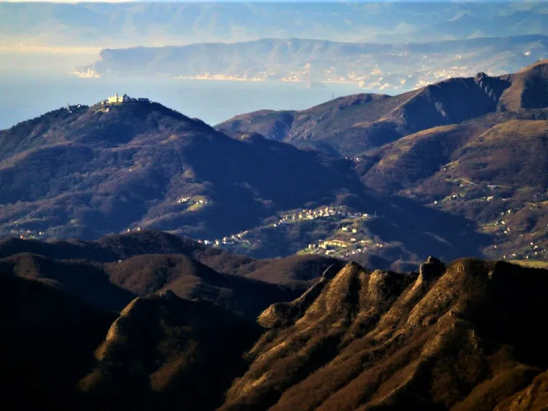
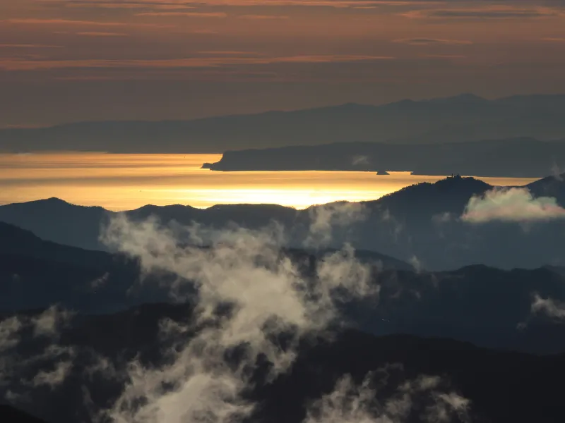
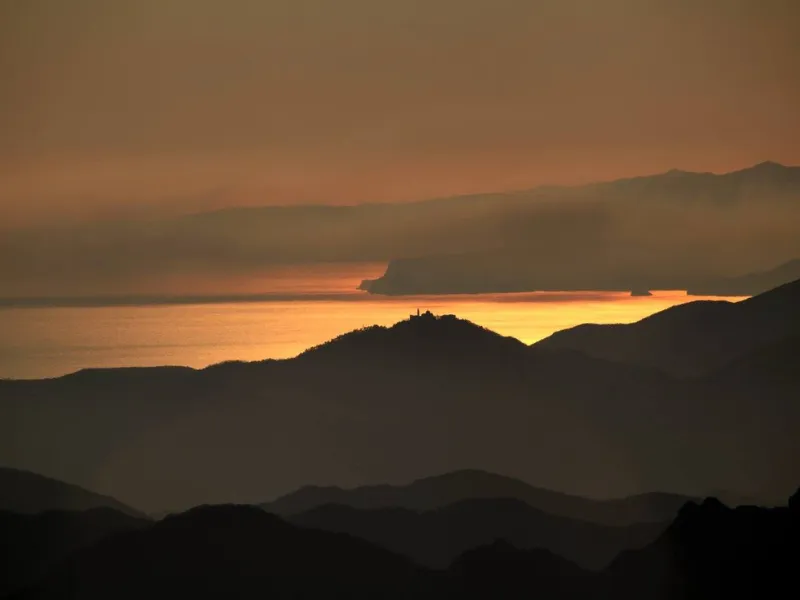
From here, you cross meadows, beech and larch forests, pass Mount Boglelio (1492 meters above sea level) and reach Mount Bagnolo (1550 meters above sea level), where there is a small bivouac. Continue along the ridge, pass Colle della Seppa (1485 meters above sea level) and reach Monte Garave (1547 meters above sea level), go around Monte Rotondo (1568 meters above sea level) and arrive at Monte Chiappo (1701 meters above sea level), the highest point of the entire itinerary. From here, there is an extraordinary panoramic view from the Po Valley to the Alps and the Ligurian Sea. On the summit is a statue of St. Joseph the carpenter. The route continues to Capanne di Cosola (1496 meters above sea level) or Capannette di Pej (1463 meters above sea level).
STAGE 02: CAPANNE DI COSOLA - TORRIGLIA
Departure: Capanne di Cosola
Arrival: Torriglia
Distance: 24 km
Height difference: +1050 m / – 1780 m
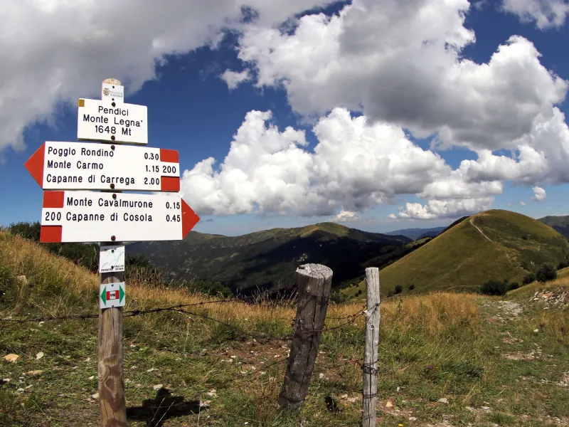
Starting from the hotel in Capanne di Cosola, located at an altitude of 1496 meters above sea level, continue on a paved road in the direction of Bogli for about 500 meters. Here you turn right onto a dirt road and, climbing steeply, you first reach the summit of Mount Cavalmurone, which is at an altitude of 1670 meters above sea level, and soon after Mount Legnà, which is at an altitude of 1669 meters above sea level.
Continuing downhill along the ridge, you reach Sella di Cartasegna, at an elevation of 1466 meters above sea level. Take a left turn here, entering a beech forest and leaving Mount Carmo to the left, which is bypassed on the west side. The route continues on a wide dirt road and reaches the hamlet of Capanne di Carrega, located at an altitude of 1365 meters above sea level. From here, turn left and briefly follow the paved road that leads to Casa del Romano. After the region’s border sign, turn right and continue on a dirt road that crosses woods and meadows along a grassy ridge, following the watershed between the Trebbia and Borbera valleys.
The climb continues gently through meadows, offering splendid views of the Carmo, Lesima and Alfeo mountains. You finally reach a small plateau equipped with a bench and table, located at an altitude of 1510 meters above sea level. From here, in a few minutes you reach a plateau with wide views of Lake Brugneto. Continue with a slight descent to the west and you will reach the Three Crosses Pass, located at an altitude of 1495 meters above sea level.
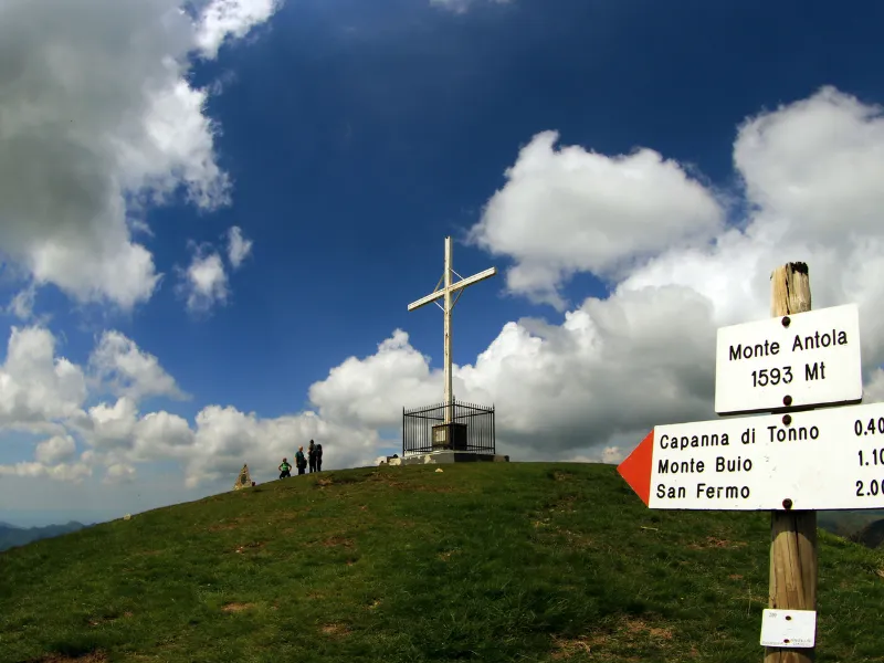
You leave the path marked with the two yellow diamonds on the left and proceed level along a ridge covered with beech trees. After a short descent, you climb steeply up a saddle and reach the summit of Mount Antola, at an altitude of 1597 meters above sea level, in about 15 minutes. From the summit you descend and reach a small group of abandoned houses and a small restored church. Continue southwest and, if desired, stop at the Monte Antola Refuge. From here starts a path that is initially flat and then becomes a stepped mule track, descending with a marked difference in elevation in the direction of Torriglia. Along the way you will encounter Casa Piccetto, Passo dei Colletti, the small group of houses of Donnetta, and finally arrive at Torriglia, located at an altitude of 769 meters above sea level.
STAGE 03: TORRIGLIA - COLLE CAPRILE/USCIO
Departure: Torriglia
Arrival: Colle Caprile/Uscio
Distance: 23 km
Height difference: +1100 m / – 1412 m
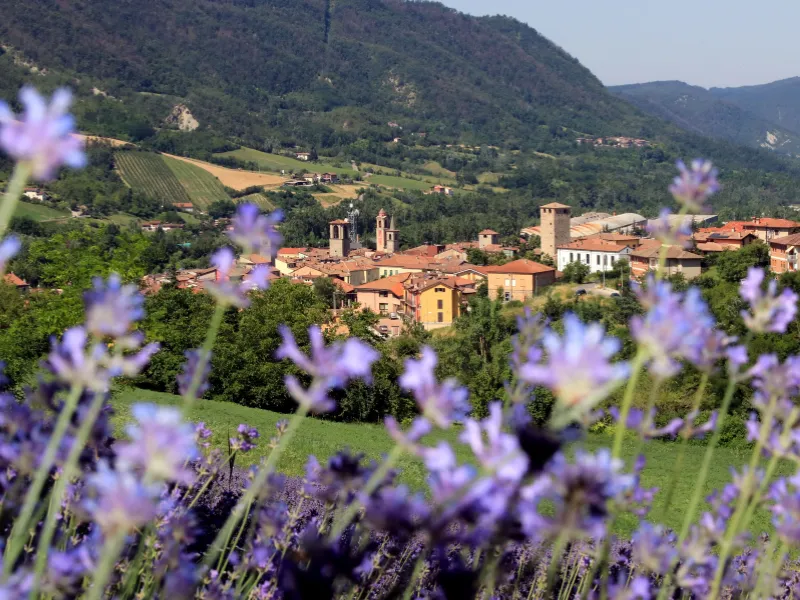
The third STAGE of the Via del Sale begins by passing through the center of Torriglia and continuing uphill along the provincial road SP62 for about 2 kilometers. You pass through the Buffalora tunnel and shortly after, on the right, there is a small asphalt road that soon becomes a dirt road. In less than two hours from the start, you reach the Lavagnola Pass. From here, take a mule track to the right following the Alta Via Monti Liguri (AVML) signs toward the Scoffera Pass. You arrive at Colla dei Rossi, at an elevation of 846 meters above sea level, and continue until you intersect SP 20. At the junction, turn left and then follow the AVML sign to the right. You pass Mount Castelluzzo and, going through a beautiful chestnut grove, first reach Mount Pertegone and then the Cross of Bragalla. Continue to the road that leads to San Alberto, at an elevation of 695 meters above sea level, and arrive at the Rosabruna bar/restaurant, where you can take a break before continuing.
From the left side of the restaurant, a path marked with blue dots and a red cross begins. You follow this path to get to Monte Bado and Colle della Speranza passes. From the Colle della Speranza, continue to the right in the direction of Case Becco. The trail continues through a meadowy environment, following a contour line with practically no elevation gain, until it reaches the asphalt road of Monte Fasce (Fascie in Military Geographic Institute mapping). Once on the paved road, turn left and cross the village of Case Cornua, at an elevation of 630 meters above sea level, continuing along the provincial road until you reach the small church of the Alpini. Along this route, you can enjoy a spectacular view of the Ligurian Sea.
Now continue downhill along a paved road and, after about 30 minutes, reach Colle Caprile, which is the destination of this STAGE and is located at an altitude of 481 meters above sea level.
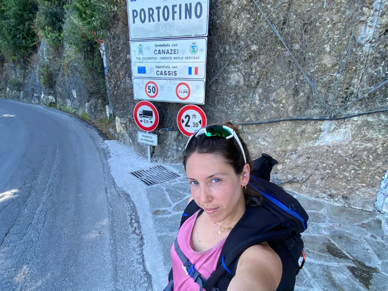
STAGE 04: USCIO - PORTOFINO
Departure: Uscio
Arrival: Portofino
Distance: 21 km
Height difference: +1050 m / – 1500 m
Departure is from Colle Caprile, located at an altitude of 481 meters above sea level, heading towards Uscio, at an altitude of 335 meters above sea level. After about 1.5 kilometers, turn left and take the road that leads to Colonia Arnaldi. This Colonia is currently a wellness center, founded in 1906 by pharmacist Carlo Arnaldi. You continue following the VM marker, recognizable by the two red circles. After about 1 kilometer, take the path to the left with a sign to Passo dei Casetti, at an elevation of 549 meters, where the Madonna del Ciappeu is located.
Continue in the direction of Mount Tugio (without reaching its summit), reaching Spinarola Pass, at an altitude of 542 meters. A Via del Mare sign marks the route, alternating downhill and flat stretches along the west side of the Borgo and Bello mountains, to the Gallo Pass, at an altitude of 486 meters. Shortly thereafter the Caravaggio Bivouac is encountered, with a detour descending to Recco on the right. The trail continues on flat terrain that later becomes a descent with concrete steps, leading to Ruta di Camogli, at an elevation of 256 meters, a wonderful balcony overlooking Camogli. From here, follow the descent on the paved road for about 200 meters, then turn left uphill between houses and take the dirt and cobblestone road until you reach Portofino Vetta and the radio antennas of Sella Gaixella, at an elevation of 408 meters.
Next, along a convenient dirt road, we arrive at Pietre Strette, at an altitude of 467 meters, initially crossing a beautiful pine forest and then descending among houses and villas, until we reach the end of the Via del Sale, that is, the center of Portofino.
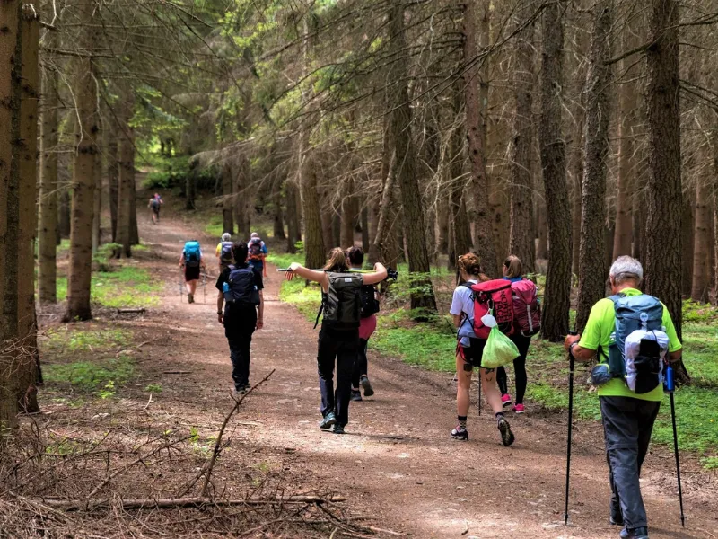
Guide to the Via del Sale
When embarking on the Via del Sale, it is useful to have the pocket guide handy, which describes the routes stage by stage while also showing their elevation profiles, lists accommodations, travel information, and other news that may be useful along the way.
At the beginning of each STAGE description, a QR Code has been inserted: by framing it with your smartphone, you can view the GPS track on the map; Impossible to get lost!

Journey diaries
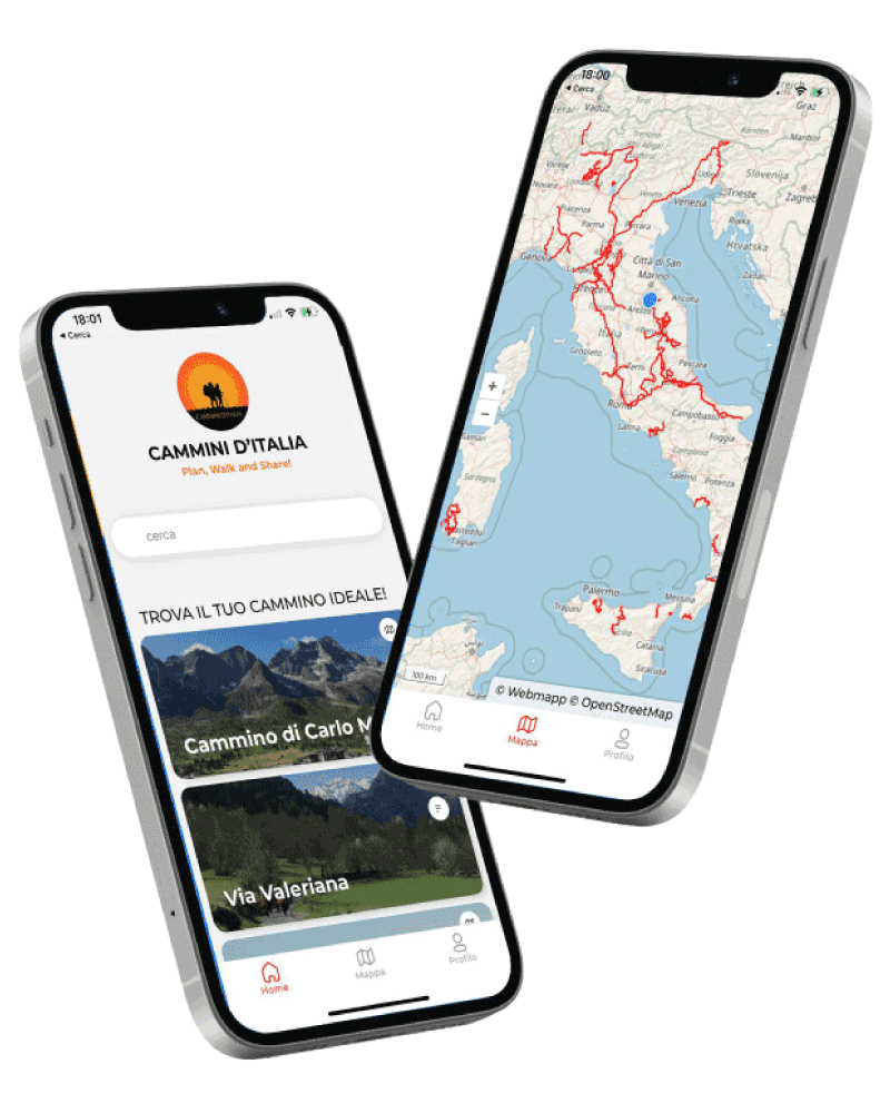
Discover our app!
With Cammini d’Italia’s free app, you can plan and walk the Via del Sale in total safety, being able to plan the stages in detail and walk the route thanks to the built-in GPS technology that supports your orientation during your adventure.
Within the app you will find many other paths present in Italy. Thanks to the georeferenced tracks of many routes you will be able to study the itinerary that suits you best and also download the GPX tracks of the individual STAGEs offline.
The app also includes a complete digital map of all the paths surveyed to date on our portal, giving you a wide range of choices among the many paths in the Belpaese.
⠀⠀
Cammini d’Italia is the perfect app for those who want to explore the beauty of Italy on foot, discovering hidden places surrounded by nature. Download it for free today and start planning your next adventure!
⠀
⠀
 ⠀⠀⠀
⠀⠀⠀