Cammino dell'Anima
6 days walking to discover Sicily, from the Sanctuary of Dinnammare to the Basilica of Tindari
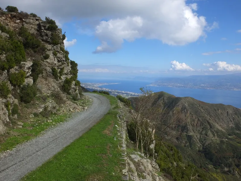
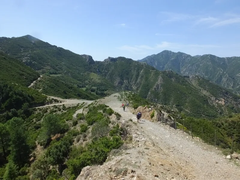
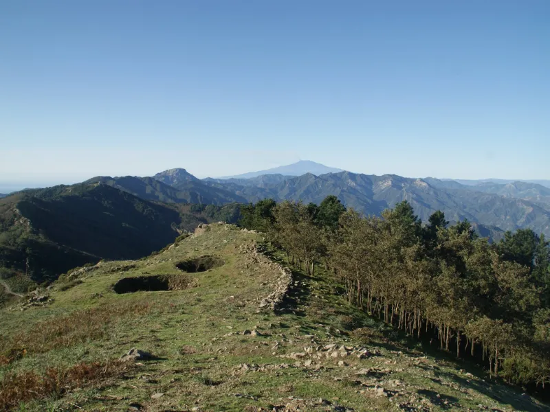
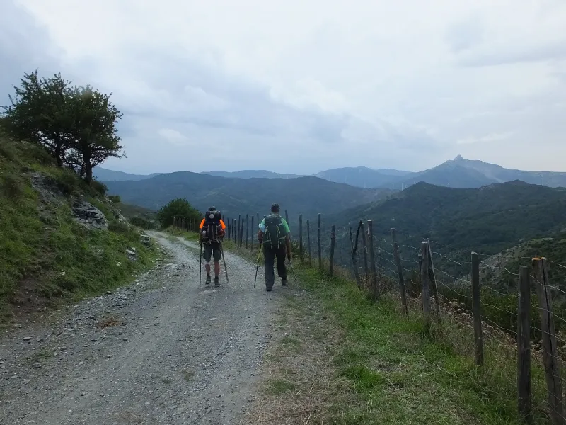
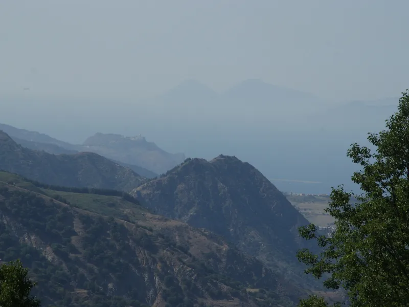
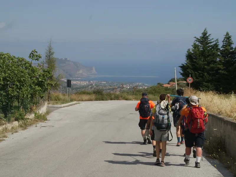
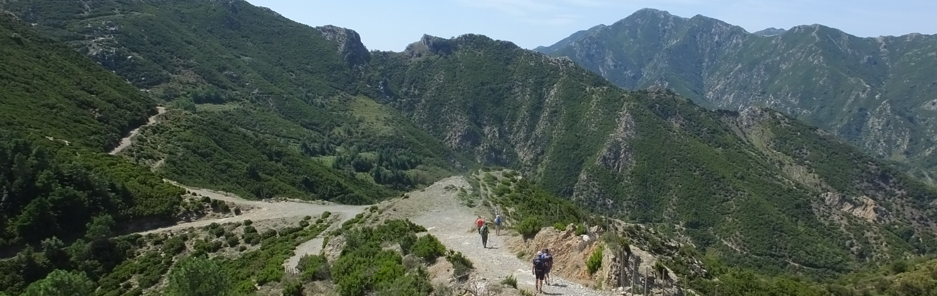
The Cammino dell'Anima (from the Dinnammare Sanctuary to the Basilica Sanctuary of Tindari in 6 days) unravels for about 125 km, following in part the Peloritani Ridge, also known as the military road or “regia trazzera,” an ancient communication route, probably also used by the Romans.
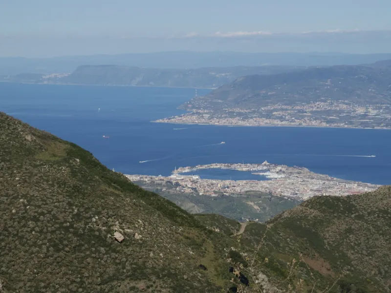
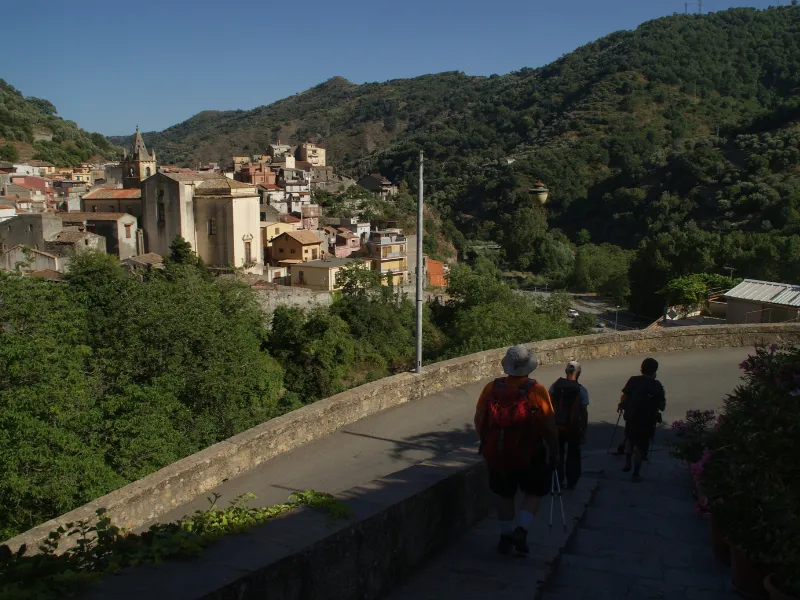
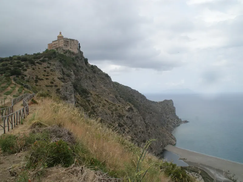
It begins at the Sanctuary of Dinnammare, in the hills of Messina, the first landmark of the walk, continues through the territories of Fiumedinisi, Mandanici, Antillo, Novara di Sicilia, Tripi, and then heads toward the coast and, through the striking Coda di Volpe Trail, reaches the Sanctuary of Tindari, the second landmark and final destination of the walk. There are six STAGES on the route. It is a journey that allows you to assimilate the scents and colors of the place, savor the values of hospitality, get in touch with the local culture and breathe the authentic soul of the area. The Sanctuary of Dinnammare stands on the summit of the 1127-meter-high mountain of the same name. The Basilica Santuario di Maria Santissima di Tindari or Santuario della Madonna Nera (Arrival Point) rises on the top of the hill of the same name and overlooks the small lakes of Marinello included in an Oriented Nature Reserve.
HISTORY
The Marian shrines of Dinnammare and Tindari have been pilgrimage sites for centuries.
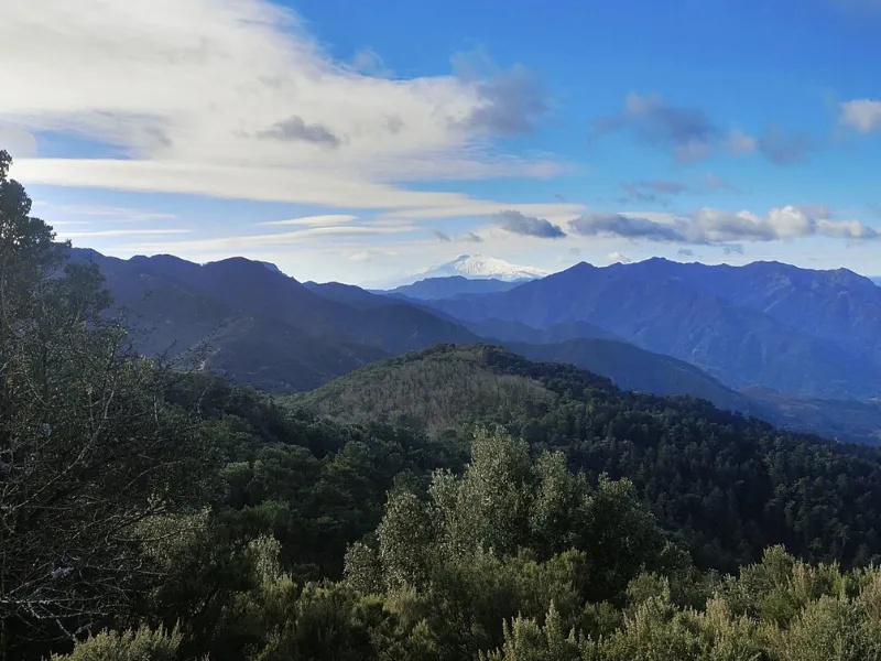
The many villages traversed present a remarkable wealth of history and traditions. Some of the roads appear to have been used since ancient times for movement between one slope and another and from north to south of the Peloritani mountain range.
WATER SOURCES.
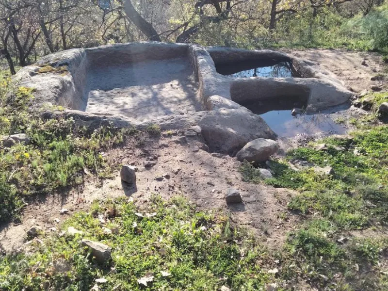
The entire route has water sources. For each STAGE, about two drinking spring water points not counting the many fountains within the villages.
ROAD BOTTOM.
Road surface: 70% dirt, 30% asphalt
STAGE-BY-STAGE SERVICES
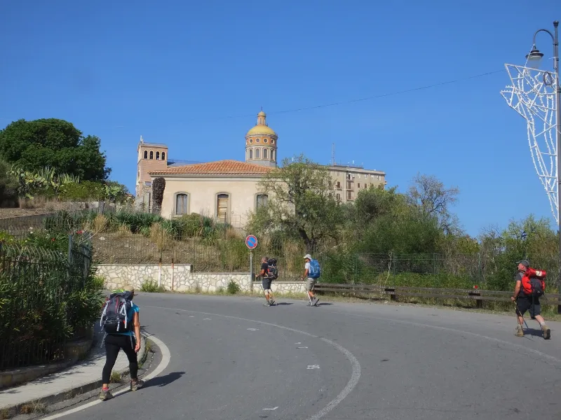
In each STAGE there is at least one grocery store, one bar, and multiple places to eat and sleep such as agritourisms, trattorias, albergo diffuso, and religious facilities. Pharmacies are present in all villages.
DANGERS
No dangers are highlighted to pay special attention to other than the caution of those moving in the mountains.
SIGNAGE
Under construction
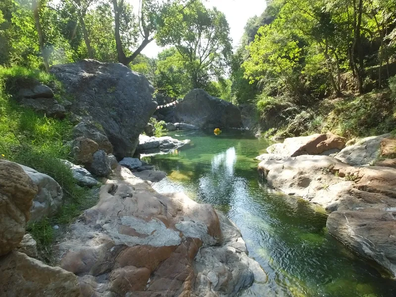
TENT WALK
Free camping is not allowed in Sicily but bivouacking (one night) is allowed in forest districts. Along the route there are several spaces equipped with water where you can bivouac.
Information provided by theWalking the Peloritans Association.
CREDENTIAL
Cammino dell’Anima credentials are available upon request for a fee of €2.
CONTACTS
Peloritani Walking Association
Pasquale D’Andrea +39 3892537328 (President)
Danilo D’Andrea +39 3474962311 (Vice President)
Salvatore Arrigo +39 347 7384684 (Marketing and Communication)
John Lombardo +39 3274764845 (scientific and technical advisor)
Mail camminarepeloritani@yahoo.it
Facebook Page https://www.facebook.com/groups/camminareipeloritani/
Web site: www.camminareipeloritani.it
STAGE 01
STAGE 1: Sanctuary of Dinnammare (Messina Hills) – Contrada Rumanò (Fiumedinisi)
Length: 23.7 km
Elevation gain: total ascent 387m, total descent 1036
Difficulty: medium
Road surface: 90% dirt, 10% asphalt
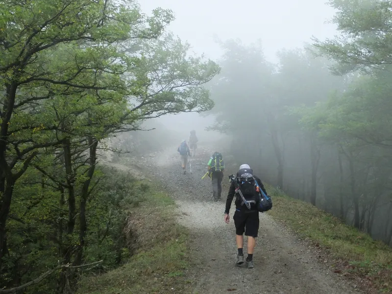
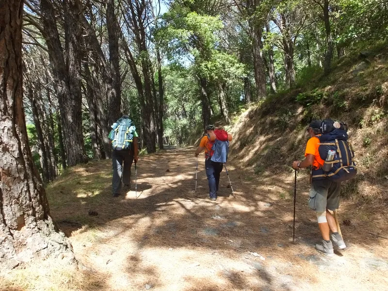
From the Sanctuary of Dinnammare di Messina, from where it is possible to admire the spectacular panorama of the Strait and the two seas, take the path behind the Sanctuary, the highest point of Mt. 1127 m. You descend until you reach the Dorsale dei Peloritanie, in an up and down, continuously admiring the views on the two sides and on the highest peaks you reach the Nisi Valley.
STAGE 02
STAGE 2: Contrada Rumanò (Fiumedinisi) – Mandanici
Length: 16.5 km
Elevation gain: total ascent 807m, total descent 842m
Difficulty: difficult
Road surface: 80% dirt, 20% asphalt
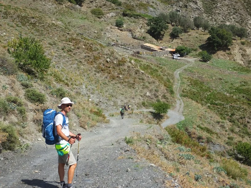
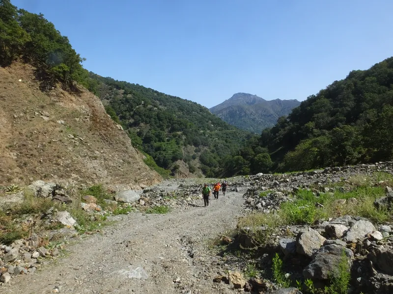
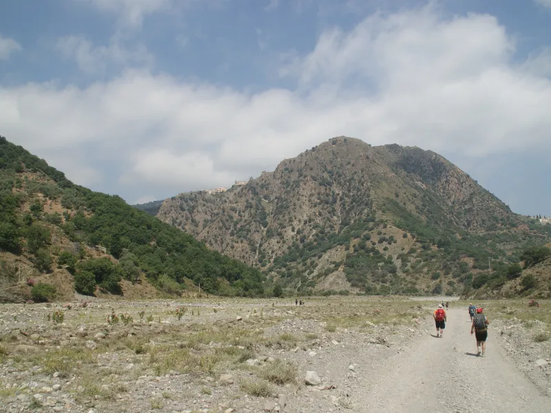
Leaving the Fiumedinisi stream, we cross the forest district Brunno, in the territory of Bosco San Ferdinando, belonging to the municipality of Nizza di Sicilia. Reaching Portella Riti, one continues on the dirt road toward the valley, crossing a barren territory repeatedly affected by fires. Having passed, on the left, a large sheepfold with a dry-stone wall fence, one encounters land cultivated with olive trees and vines.
STAGE 03
STAGE 3: Mandanici – Contrada Silipà (Antillo)
Length: 23.5km
Elevation gain: total ascent 900m, total descent 800m
Difficulty: difficult
Road surface: 70% dirt, 30% asphalt
Following a forestry dirt road, we continue to the Vallone di Misitano, crossing it in an up-and-down section covered with beautiful specimens of pines, oaks, chestnut trees, holm oaks and plane trees, in an area visibly tested by landslides and mudslides.
STAGE 04
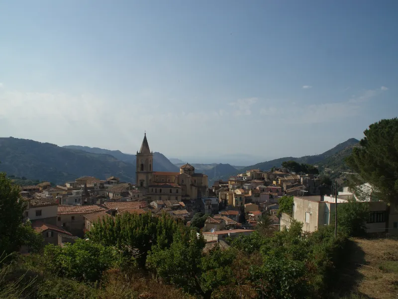
STAGE 4: Contrada Silipà (Antillo) – Novara di Sicilia
Length: 24.2 km
Elevation gain: total ascent 890m, total descent 780m
Difficulty: difficult
Road surface: 40% dirt, 60% asphalt
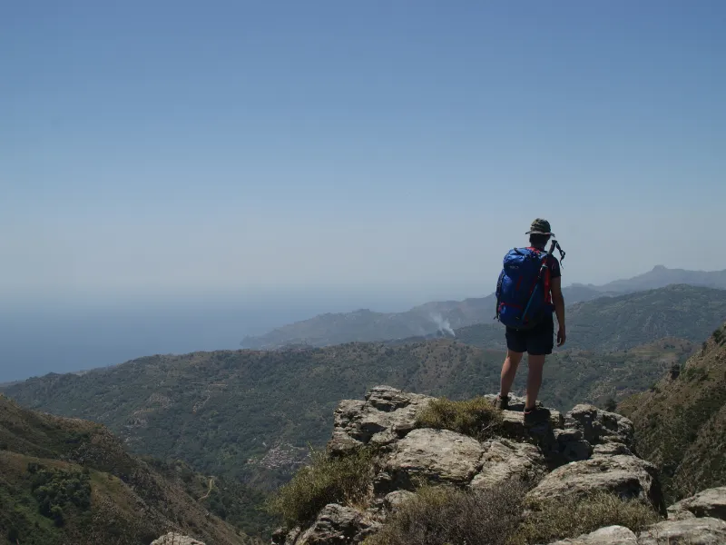
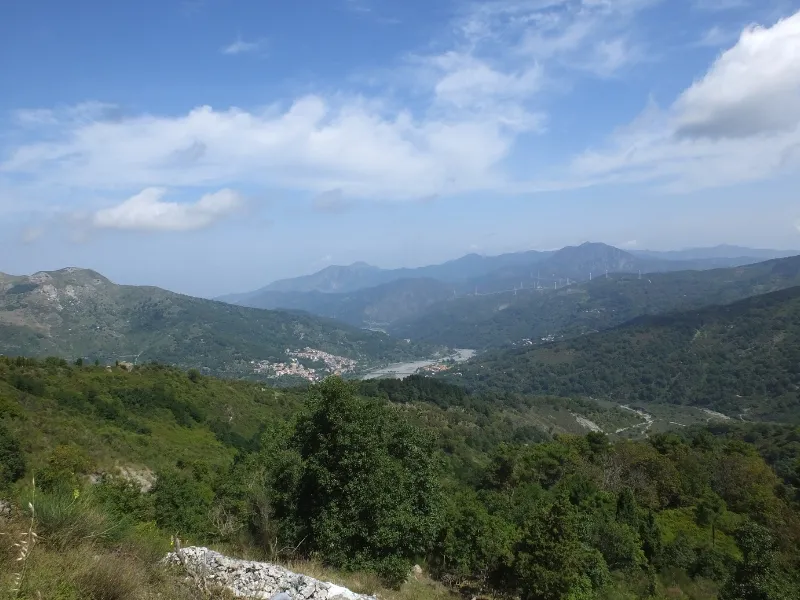
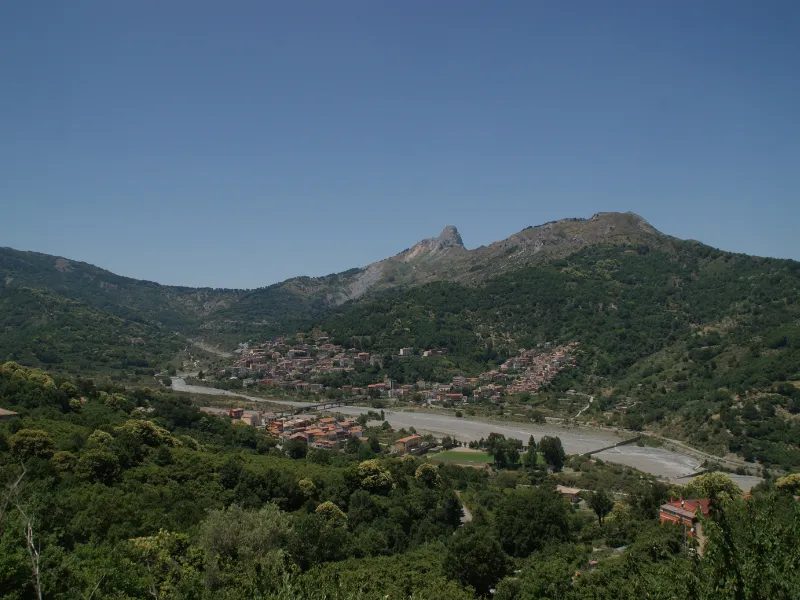
STAGE characterized by the longest stretch on asphalt, it crosses the Peloritan ridge to reach the Tyrrhenian side skirting the scenic Rocca Salvatesta.
STAGE 05
STAGE 5: Novara di Sicilia – Basicò
Length: 15.5 km
Elevation gain: total ascent 375m, total descent 630m
Difficulty: medium
Road surface: 60% dirt, 40% asphalt
STAGE joining two beautiful villages by crossing the Novara creek bed and the characteristic hamlet of St. Cone.
STAGE 06
STAGE 6: Basicò – Sanctuary of Our Lady of Tindari (Patti)
Length: 17.3 km
Elevation gain: total ascent 500m, total descent 587m
Difficulty: medium
Road surface: 20% dirt, 80% asphalt
As you descend in altitude the Tindari Sanctuary is closer and closer, suggestive of the last stretch overlooking the small lakes of Marinello, known as the Sentiero Coda di Volpe.