

Cammino di San Jacopo
More than 170 km through authentic Tuscany on foot through ancient abbeys, villas and castles, forests and countryside, medieval villages and art cities to the sea.
On the Via Cassia route, the Tuscan section of the “Cammino di DANTE” winds along an exceptional concentration of art, history and nature from Florence to Livorno, through Pistoia, the Santiago of Italy.
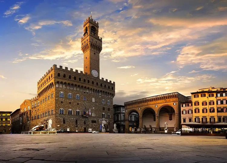
As in Spanish soil, typical characteristics and rituals of the camino are found here. Indeed, on the route we find many donative hospices (there are 14 in 2023), pilgrim menus, symbols, rituals and customs that, although rediscovered recently, are rooted in nine centuries of history of devotion to St. James and of the only relic of the saint outside Galicia. The uniqueness of this walk also lies in the fact that it connects seven cathedrals in six STAGES and as many places of faith and ancient pilgrimage, as well as unquestionably historically and architecturally significant cities: Florence, Prato, Pistoia, Pescia, Lucca, Pisa and Livorno are united by this walking route that also goes to rediscover villages, castles, countryside and woods in between, making the walk highly meaningful and always stimulating and different.
HISTORY
The route rediscovers and enhances a road route that is more than two thousand years old, the Via Cassia – Clodia, connecting the cities of Florence, Prato, Pistoia and Pescia to Lucca, and the Via Aemilia Scauri connecting the latter to Pisa and Livorno. The route traverses an area made unique by the frequency of exceptional historical, artistic, naturalistic and religious evidence, including seven of the world’s most famous cathedrals.
From the port of Livorno, as has been the case for centuries on commercial sea routes, one can embark for Barcelona and, following the Catalan Jacobean paths and the Ebro Trail, touch on the major Spanish Marian shrines of Montserrat and the Virgin of Pilar, and then reach Logroño and continue on to Santiago de Compostella via the French Way.
WATER SOURCES.
Very frequent
STAGE
STAGE 1: FLORENCE-PRATO 27 KM
The route runs mainly on asphalt, slightly up and down, on quiet peri-urban walled roads, parallel to the ancient route of the Via Cassia, to avoid crossing the numerous urban centers and industrial areas that follow one another in the seamless plain between Tuscany’s two most populous cities. The historicity of the roads traveled is evidenced by the numerous tabernacles, some of them of considerable artistic value, that are frequently encountered along the roads at the crossroads. The exit from the city of Florence is direct and the crossing of the suburbs is minimized and enhanced by passing through interesting historic gardens. Further on, the entrance to Prato is also on pleasant tree-lined bicycle and pedestrian paths. The route skirts the beautiful Medici villas in the Careggi-Castello area and the Etruscan archaeological area of Quinto, allows visits to numerous churches and villages, and crosses streams on ancient pedestrian bridges. A beautiful country road through olive groves allows a climb to Cappelle di Settimello, the highest point of the STAGE at 190 meters above sea level, for a panoramic view of the plain while still avoiding the intense vehicular traffic of the roads below. We then visit the Pieve and the Castle of Calenzano, cross the beautiful agricultural area of Travalle and, on the Prato foothills, remain at altitude for an evocative passage to the historic Cementificio Marchino, a monument of industrial archaeology, from which to see a wide panorama of the city of Prato and its territory before entering its beautiful but little-known historic center, being able to visit the city and pay homage to the Sacred Girdle of the Virgin Mary.
STAGE 2: PRATO-PISTOIA 27.9 km (27.9 miles)
The STAGE has interesting naturalistic features and runs for long stretches on unpaved roads,embankments and paths. Just outside the walls of Prato, we enter the embankment of the Bisenzio River, recently renaturalized and populated by various bird species and nutria. We then climb to the Sacca hill, where the ruins of the Ex-Cicognini Boarding School and the Villa Carlesi-Fossombroni remain, and then descend to Figline where we encounter the beautiful Romanesque church of San Pietro and the monumental shrine of Sant’Anna. You then cross the very special Protected Area of Monteferrato, climbing to the highest point of the stage at about 350 ml above sea level, from which you can already see the dome of Pistoia. We then continue through the countryside on the practically traffic-free Via Baronese to the Rocca di Montemurlo. After descending and casting our eyes on the nearby fortified villa of Smilea, we cross the Agna stream on the pedestrian bridge near the Longobard Abbey of San Salvatore in Agna and, having crossed the center of Montale we enter an embankment and then in the midst of the nurseries that will accompany us to Pistoia, skirting the beautiful pedecollinari villas among which the Villa di Celle stands out, which houses a very famous collection of contemporary art surrounded by greenery. Passing the remains of the Roman bridge on the Cassia known as the Sei Arcole, through side roads we reach directly the striking Bastione San Marco of the city walls of Pistoia and enter the historic center touching the Longobard Abbey of San Bartolomeo and, following the Longobard “Via Domini Regis” we reach the Cathedral where it is preserved among its treasures, the Relic of St. Jacopo (James) that came to Pistoia in 1145 directly from Compostella, whose cult made the city so famous throughout Europe that it was called Minor Santiago, “The Little Santiago.”
STAGE 3: PISTOIA-PESCIA 29.5 km (29.5 miles)
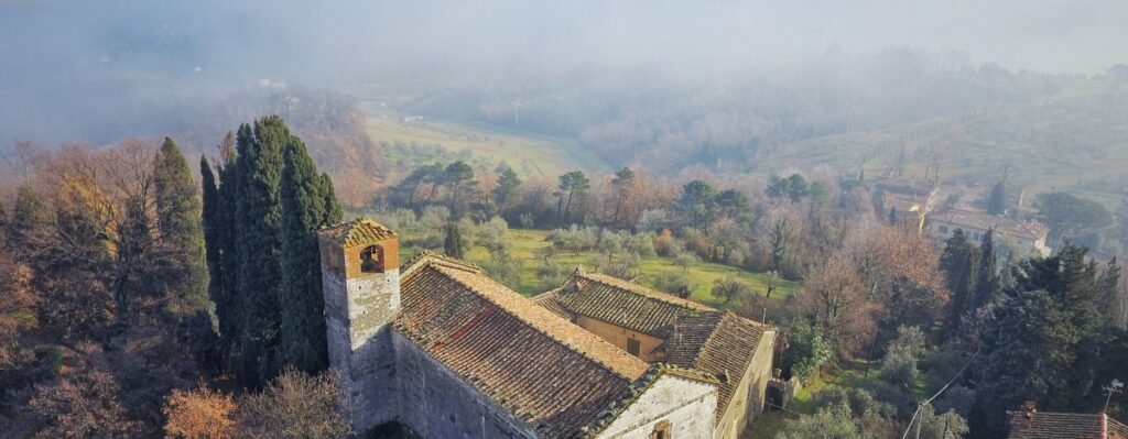
The STAGE is very varied and alternates between flat stretches and ancient hilly paths, often paved, that reach interesting villages and castles. Leaving the city along the ancient route of the Via Cassia, now a provincial road, we leave it as soon as possible to climb the Colle Lucense (now Giaccherino) from which the Via Francigena pilgrims (jacquaires) first saw the bell towers and towers of Little Santiago. We then continue up and down through the beautiful countryside past the Pieve di Groppoli to the fortified village of Serravalle from whose towers we can appreciate the route we took from Florence and much of the route yet to be taken to Lucca. Descending to la Gabella we go up the Via di Perticaia and then skirt the A11 highway to the bank of the Nievole stream, which we follow almost to the historic early medieval Pieve di San Pietro “in Neure.” We then continue on to cross the beautiful area of the historic Montecatini Spa and through the city center. We then avoid the traffic of the Lucchese provincial road by crossing the Villa Ankuri Park and ascending to Castello di Buggiano, the village of gardens and citrus trees. We then descend again along ancient pavements to the Cessana stream, which we cross on a medieval bridge and then climb up the hill to the fortified villages of Stignano, La Costa and Uzzano and their beautiful Romanesque churches. Uzzano, at 300 ml a.s.l., is the highest point of the STAGE and offers us a beautiful view of Pescia and the entire Valdinievole valley as far as San Miniato. We then descend rapidly on ancient paved paths to reach Pescia with its beautiful historic center and its Cathedral where the body of St. Allucio, hospitable to medieval pilgrims, is venerated.
STAGE 4: PESCIA-LUCCA 24.7 km (24.7 miles)
The route in the first half is hilly and follows ancient roads, while in the second half it is flat and crosses the plain of Lucca, touching on numerous ancient churches and artifacts of industrial archaeology. In the center of Pescia we take the Via della Fiaba, a beautiful ancient paved path that leads us to Collodi and the Villa Garzoni park, passing through a nature rich in exotic plants. After visiting the village of Pinocchio, we ascend the hills of Lucca to visit the ancient villages of San Gennaro, Petrognano, Sant’Andrea in Caprile and Segromigno in Monte, with their ancient Romanesque parish churches and beautiful villas. We then reach, on the plain, the very ancient church of San Cristoforo next to the equally noteworthy church of San Jacopo in Lammari, located on the Via Lombarda, an important link to Garfagnana and northern Italy. We then head toward Via dell’Acquacalda, a road that runs alongside the canal derived from the Serchio that gives it its name and overlooked by numerous proto-industrial buildings that drew the motive power for their activities from the water (mills, oil mills, paper mills, yarn industries, etc.). We finally reach the Serchio River, which accompanies us near the walls of Lucca, which we cross at Porta San Jacopo, near which stood the ancient church of San Jacopo alla Tomba. Here we find again the rushing course of the Acquacalda, which gives its name to Via del Fosso and crosses the entire city after feeding the moats outside the walls. We leave Via del Fosso to enter the medieval Porta San Gervasio and reach the Cathedral of San Martino to encounter the “Holy Face” the very ancient crucifix venerated in Lucca and a pilgrimage destination, according to tradition, since the Lombard period.
STAGE 5: LUCCA-PISA 28.6 Km
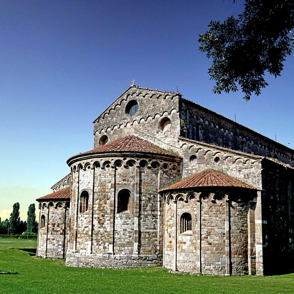
The route exits the city from Porta Sant’Anna to leave the suburbs on secondary roads and cross the Ozzeri Canal, built on an ancient course of the Serchio River. It travels here , on country roads, through a foothill area rich in small villages, villas and beautiful early medieval churches and then ascends the slopes of Mount Pisano on shady paths and military paved roads leading to ancient hermitages, towers and fortifications. From the Rocca di Ripafratta we then descend to the village and continue on the plains, skirting canals and cultivated fields to reach the Ciclopedonale Puccini that runs along the Serchio riverbank to Pontasserchio. Once past the village we again take roads among the fields, in the direction of the Tower of Pisa, which we see slowly approaching, to San Jacopo where the Ospitale for pilgrims of San Jacopo “de Podio” once stood, in a raised position over the surrounding marshes. Soon after, we skirt a canal to head toward the Sanctuary of the Madonna dell’Acqua, where the rulers of Savoy attended festive masses during their stay at the nearby Royal Estate of San Rossore. Past the imposing Suburban Cemetery we quickly cross the outskirts of the city to find ourselves close to the city walls, beyond which the Piazza dei Miracoli appears to us in all its perfect harmony.
STAGE 6: PISA-LIVORNO 35.9 Km
We leave the masterpieces of Pisa’s ancient center behind as we cross the Ponte di Mezzo and walk along the southern lungarno, still encountering priceless masterpieces such as the small Gothic church of Santa Maria della Spina, the Church of San Paolo in Ripa d’Arno, and, on the other bank, the Arsenali Medicei and the Cittadella. We leave the Porta a Mare and immediately encounter the Sostegno, an elegant hydraulic work of access to the ancient course of the Canale dei Navicelli that connected and still connects the Arno to the port of Livorno. We follow the Canal along its new course for a couple of kilometers before diverting between fields to the amazing Basilica of San Pietro a Grado. After the exciting visit to the place where tradition has it that the Apostle Peter landed in Italy, a long stretch of dirt roads begins, first among cultivated fields then in the coastal pine forest. At last the sea appears before us, where one can pause to reflect or take advantage of a refreshing swim before resuming the path through the coastal pine forest that accompanies us to the port of Livorno, where it is inevitable to cross the port area before entering the beautiful city. The Dogana d’Acqua, the Fortezza Nuova, the Quartiere Venezia, the Fortezza Vecchia and the Cathedral must not be enough for us because we must reach our Finisterrae, the Church of San Jacopo in Acquaviva, on the seashore, from whose pier the pilgrims of the Middle Ages departed for Santiago or Jerusalem… and for some of us history repeats itself.
SERVICES PRESENT STAGE BY STAGE
Because it is a path that connects even medium to large cities, all services are present at all STAGEs
SIGNAGE
Fixed signage under construction, present quite extensively with stickers, arrows and yellow and orange paint signs, mini-arrows
DANGERS
Possible stretches with tall vegetation at certain times of the year
ACCESSIBILITY
Largely accessible to all. The organizers have identified some small variations for the sections that are not.
ASSOCIATION CONTACTS
02 87199507 – 353 4272320
Tuscany Community the Pilgrim – https://comunitailpellegrino.com
ROAD BOTTOM.
Mixed, in urban areas most of it on asphalt
CREDENTIALS
All credentials are accepted, particularly indicated are the Credential of the Tuscany Community the Pilgrim https://comunitailpellegrino.com and the Brotherhood of St. James of Compostella http://www.confraternitadisanjacopo.it/Credenziale/indexcredenziale.htm
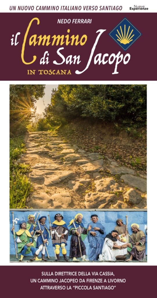
GUIDE TO CAMMINO DI SAN JACOPO
More than 170 km through authentic Tuscany on foot: exploring ancient abbeys, stately homes and castles, forests and countryside, ancient medieval villages and art-rich towns all the way to the coast.
Along the way, you will have access to maps, welcome and refreshment points, practical directions, valuable advice and insights into the wonders and experiences the Camino has to offer.
NEDO FERRARI: An independent professional architect with extensive experience in carrying out architectural and urban planning projects both in Italy and abroad. He has always nurtured a great passion for travel and local history. He is the author of publications concerning industrial archaeology and has recently devoted himself to researching the early medieval road system. In addition, he serves as Tuscany liaison to the association Romea Strata and is a member of the Scientific Committee of the European Association Romea Strata. He is the president of the Tuscan Community The Pilgrim and a board member of Federcammini.


Journey diaries
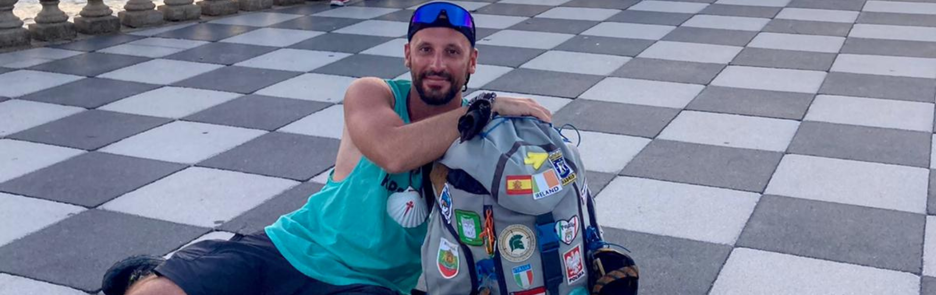
Cammino di San Jacopo
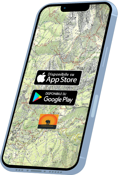
With the free Cammini d’Italia app, you can plan and walk the Cammino di San Jacopo safely, being able to plan the stages in detail and walk the route thanks to the built-in GPS technology that supports your orientation during your adventure.
⠀Inside the app you will find many other paths present in Italy. Thanks to the georeferenced tracks of many routes you will be able to study the itinerary that suits you best and also download the GPX tracks of the individual STAGEs offline.
The app also includes a complete digital map of all the paths surveyed to date on our portal, giving you a wide range of choices among the many paths in the Belpaese.
⠀⠀
Cammini d’Italia is the perfect app for those who want to explore the beauty of Italy on foot, discovering hidden places surrounded by nature. Download it for free today and start planning your next adventure!
⠀
⠀
 ⠀⠀⠀
⠀⠀⠀