La Via Decia
Ninety-five kilometers of trails in five STAGEs, immersed in acres of forest and villages that tell of centuries of coexistence between man and the environment.
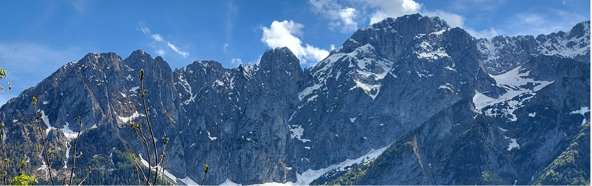
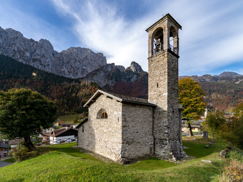
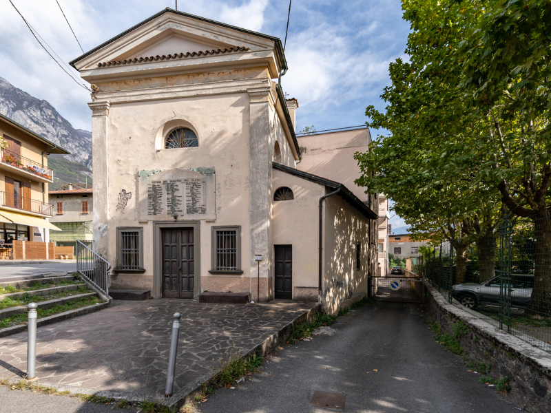
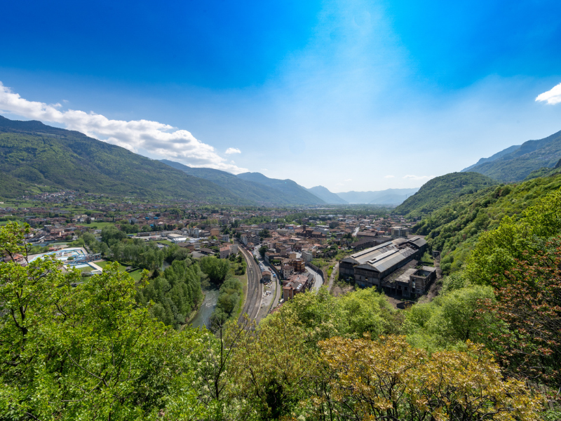
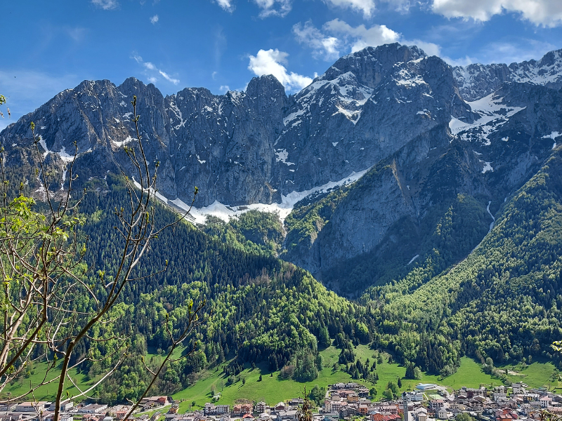
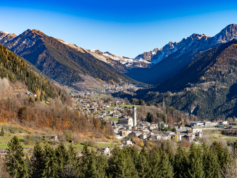
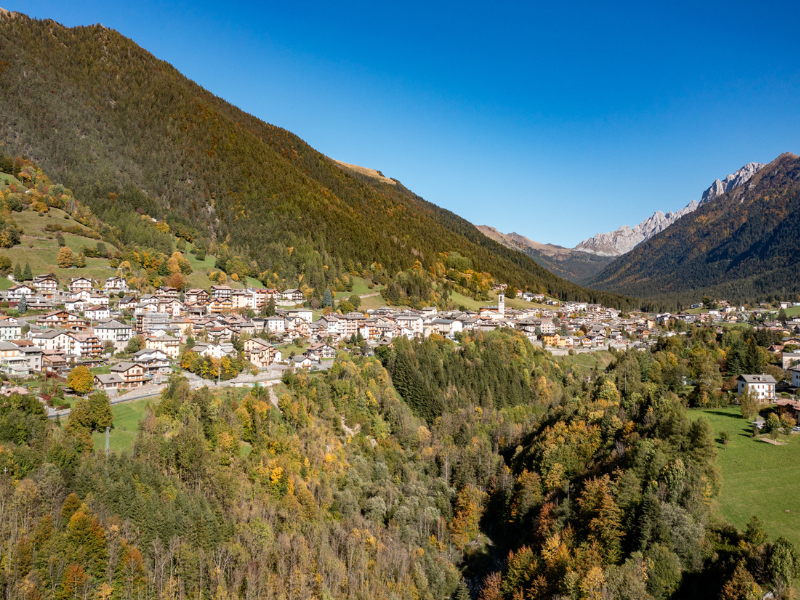
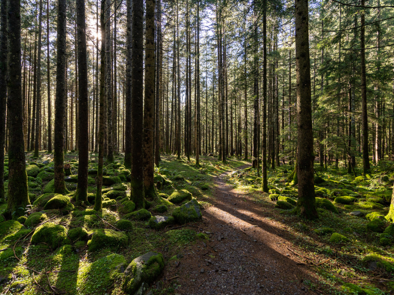
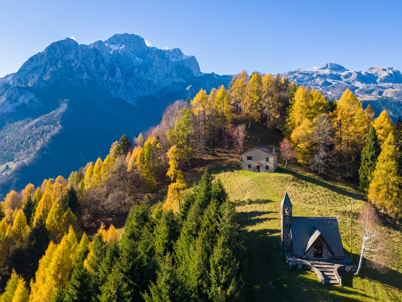
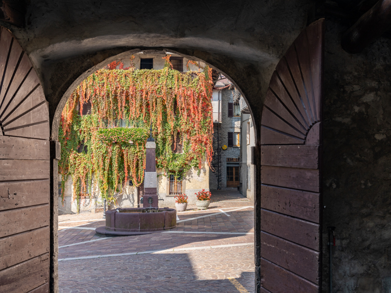
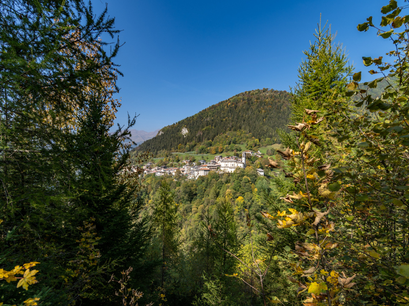
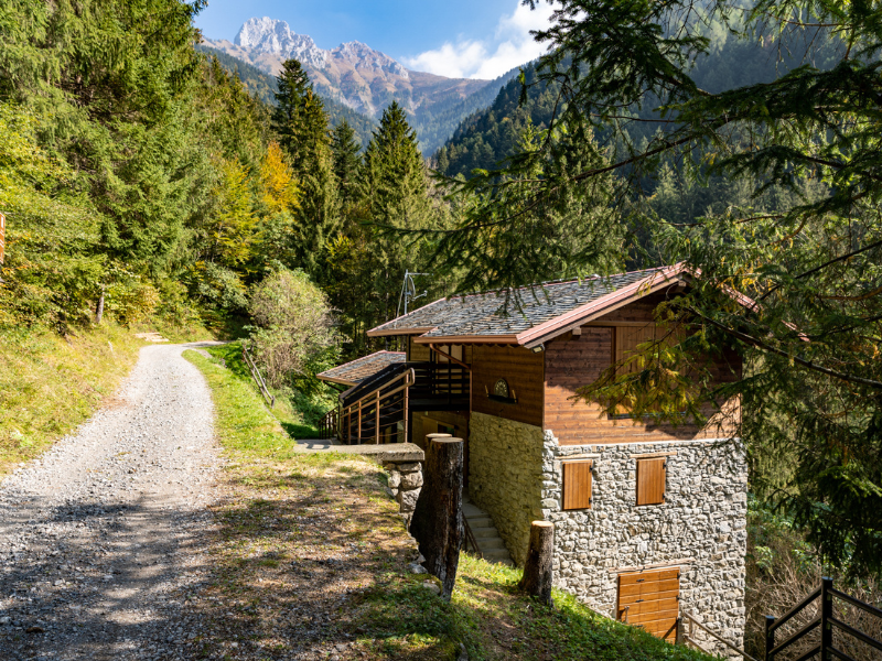
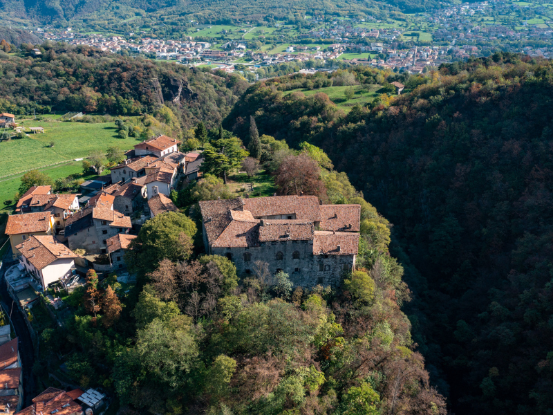
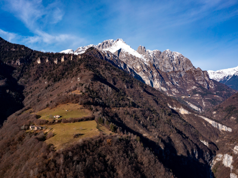
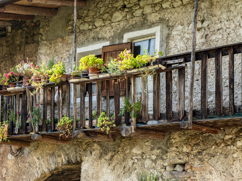
A valley, a river, a path. Ninety-five kilometers of paths in five STAGEs, immersed in acres of forest and villages that tell centuries of coexistence between man and the environment. A millennial history in the sign of iron ore, mined among these mountains since the time of the ancient Romans. In 2023, one hundred years after the Gleno disaster, “La Via Decia - The Path of the Iron Woods” is born. A CAI initiative to open the treasure chest of the Scalve Valley, originally the Decia Valley, to beauty seekers. A gem of the Lombard Pre-Alps, nestled between Val Camonica and Val Seriana, not far from Lake Iseo. An adventure in the shadow of the Presolana massif, among the districts that saw the birth of Card. Angelo Maj and the sculptor Giò Piccini.
HISTORY
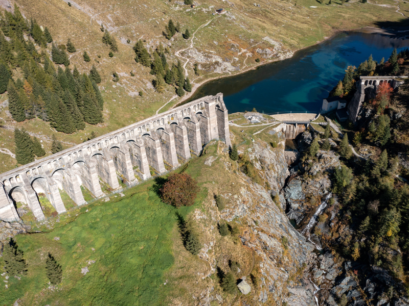
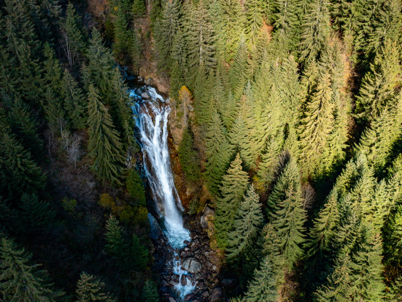
The walk was born one hundred years after the Gleno disaster: the collapse of the Dam that resulted in the deaths of 359 people among the towns of the Scalve Valley and the Camonica Valley. However, it is also linked to the mountain environment within which it develops, rich in those forests that for centuries supplied the coal needed to fuel the smelting furnaces for cooking the ore extracted in large quantities among these mountains. Hence the subtitle: “The path of the ironwoods“.
WATER SOURCES ALONG THE WAY
Sources widely present in the different villages crossed (bars and fountains). For dogs, we point out several stream crossings along the trail.
SERVICES PRESENT STAGE BY STAGE
Supermarkets: Available in Darfo Boario Terme.
Minimarkets / grocery stores: present at all STAGE finishes and in almost all towns crossed.
Pharmacies: Present at all start / finish points except Azzone.
DANGERS
In the winter period, depending on snow cover, the ascent from Nona to the Gleno Dam is not recommended unless approached with suitable equipment and sufficient mountaineering experience.
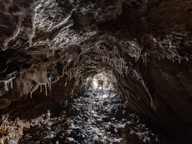
The final part of the third STAGE has a short section for Experienced Hikers, with passage through a narrow tunnel and, subsequently, slightly exposed passage with fixed rope. Alternatively, it is possible to walk easy variant for everyone.
ACCESSIBILITY
Motor disability: yes, with jolette.
TENT WALK
STAGE 1: Location Pian di Vione (bivouac permitted, not camping).
STAGE 2: Gleno Bridge Location (bivouac permitted, not camping).
STAGE 3: Camping at private equipped facility (“Alpen Camping”). Bivouac at Paghere locality.
Stage 4: Alpine Church locality or Azzone, sports field (both bivouacs, not camping).
Stage 5: No.
Information provided by the reference association
If you want to learn more about Bivouac and free camping click here
CREDENTIALS
La Via Decia has credentials, they cost €5.
CONTACTS
VIA DECIA CONTACTS
Tel. 379 1818975
Mail: info@laviadecia.it
Official website of the walk: www.laviadecia.it
STAGE 01
STAGE 1: Corna di Darfo – Colere
Departure: Corna di Darfo (220 asl)
Arrival: Colere (1013 asl)
Length: 21.7 km
Height difference: + 1500 / – 715
STAGE 02
STAGE 2: Colere – Vilminore di Scalve
Departure: Colere (1013 asl)
Arrival: Vilminore di Scalve (1018 asl)
Length: 17.2 km
Height difference: +800 / -800
STAGE 03
STAGE 3: Vilminore – Schilpario
Departure: Vilminore (1018 asl)
Arrival: Schilpario (1135 asl)
Length: 17 km
Height difference: + 1000 / -900
STAGE 04
STAGE 4: Schilpario – Azzone
Departure: Schilpario (1135 asl)
Arrival: Azzone (973 asl)
Length: 16.8 km
Height difference: + 665 / -836
STAGE 05
Stage 5: Azzone – Corna di Darfo
Departure: Azzone (973 asl)
Arrival: Corna di Darfo (220 asl)
Length: 22.1 km
Height difference: + 640 / – 1390


La Via Decia
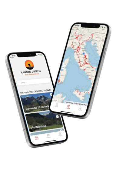
WithCammini d’Italia’s free app, you can plan and walk La Via Decia safely, being able to plan the stages in detail and walk the route thanks to the built-in GPS technology that supports your orientation during your adventure.
⠀Inside the app you will find many other paths present in Italy. Thanks to the georeferenced tracks of many routes you will be able to study the itinerary that suits you best and also download the GPX tracks of the individual STAGEs offline.
The app also includes a complete digital map of all the paths surveyed to date on our portal, giving you a wide range of choices among the many paths in the Belpaese.
⠀⠀
Cammini d’Italia is the perfect app for those who want to explore the beauty of Italy on foot, discovering hidden places surrounded by nature. Download it for free today and start planning your next adventure!
⠀
⠀
 ⠀⠀⠀
⠀⠀⠀