
Via Lucana - Cammino Materano
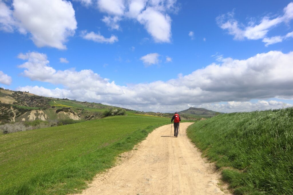
114 km between the Bradano and Basento river valleys, in a landscape mosaic of enormous beauty characterized by the green expanses of forests and pastures, of arable land and olive groves
The Cammino takes up the ancient name of a magical land, suspended in time, which has preserved intact the atavistic charm of the ancestral world: today, as millennia and centuries ago, Lucania is a borderland of woods and light, wilderness and cozy medieval villages.
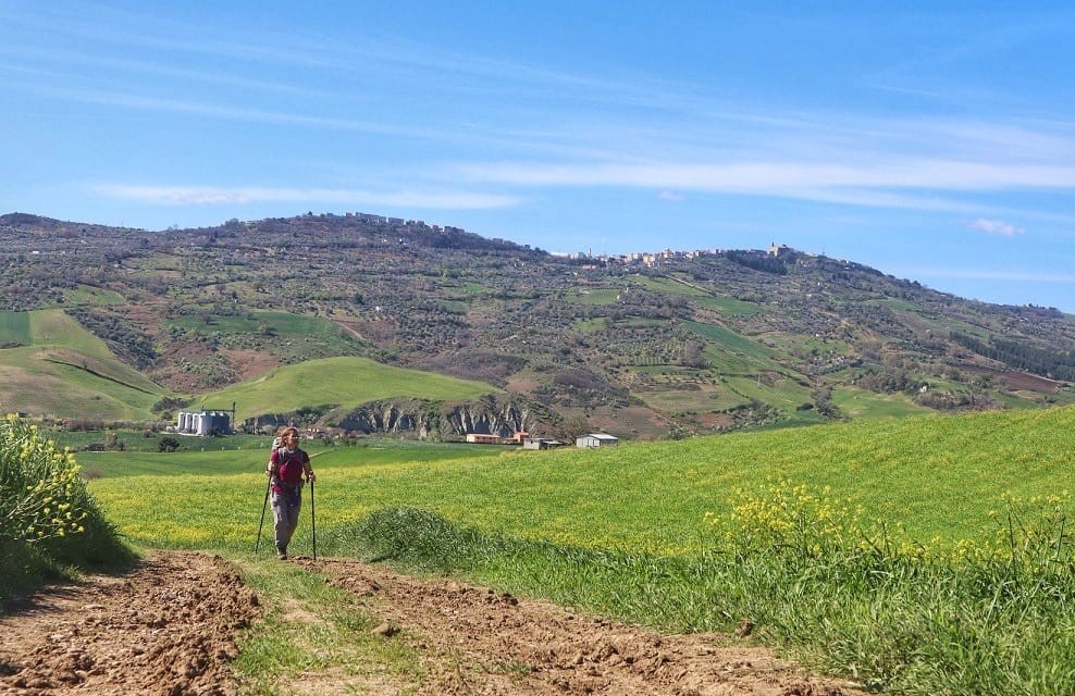
The route consists of 23 STAGES, but the one currently open, 6-day journey, winds through charming medieval towns nestled on high hills-Tricarico, Grassano, Grottole, Miglionico, Pomarico, Montescaglioso, all the way to Matera. 114 km between the river valleys of the Bradano and Basento, in a landscape mosaic of enormous beauty characterized by the green expanses of woods and pastures, of arable land and olive groves, and by the dazzling whiteness of the calanchi: deep erosive furrows that shape the clayey slopes.
WATER SOURCES.
Water sources are not always present along the STAGES, so it is recommended that you leave each day with a good supply of water; however, there is no shortage of farms and farmhouses where you can stock up on water
SERVICES
All essential services are present at each STAGE point
SIGNAGE
The Trail is partially marked in paint (yellow-green) and wooden signs, so you should have gpx tracks with you
ROAD BOTTOM.
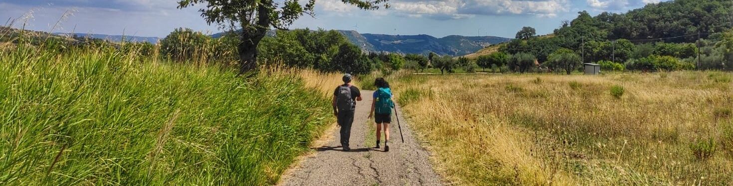
60% dirt
40% asphalt
IN TENT
There are currently no shelters along the Via Lucana where tents can be pitched
CREDENTIALS
The credential is obtained by filling out the application form
https://camminomaterano.it/credenziale-del-pellegrino
CONTACTS
ASSOCIATION CONTACTS
camminomaterano@gmail.com
STAGE 01
STAGE 01: Tricarico-Grassano
Length: 20.6 km
Height difference: +643 m -806 m
We leave Tricarico from the Saracen gate and then take an ancient path called the “Pizzuto front” that Rocco Scotellaro paved in order to facilitate transit for farmers.
The route continues along rural districts and paths, touching on two other places symbolic of Tricarico’s history: first the ruins of the Trinity Church (dating back to the 11th-13th centuries) and then the forest of Serra del Cedro (858 meters above sea level), where the first settlement of the Lucanians in the area was located (dating back to the 4th century BC).
You walk along forest paths for 4 km until you reach the Via Appia, near which is the F.lli Mulieri gas station. A beautiful path leads, uphill, to the gates of Grassano.
STAGE 02
STAGE 02: Grassano-Grottole
Length: 19.8 km
Height difference: +710 m/ -769 m
From Grassano you take a contrada that descends to the valley from where you take a path that climbs among wheat fields until you reach the top of a hill; here is located the Shrine of St. Anthony Abbot.
The effort of the climb is rewarded by the beauty of the place: from that point it is possible to see the entire Bradano valley and the towns of nearby Apulia. Leaving the Sanctuary, one proceeds along a path lined with Mediterranean scrub and beech trees.
Descending we reach the Bilioso stream and from there we ascend, along an oak and beech forest, in the direction of Grottole.
STAGE 03
STAGE 03: Grottole-Miglionico
Length: 17 km
Height difference: +442 m/ -448 m
You leave Grottole by driving along the Via Appia; after a short distance, turn right along a side road and reach a knoll.
You descend along a path where a small stream passes, after which a climb begins that leads to the Bosco Coste wind farm, which you cross for 5 km. I
he path descends through wheat fields and always downhill reaches the slopes of Miglionico: from here begins a long 3-km climb to the heart of the village, dominated by the imposing Malconsiglio Castle.
STAGE 04
STAGE 04: Miglionico-Pomarico
Length: 16 km
Height difference: +212 m/ -252 m
You leave Miglionico from Piazza Castello, descending along the Via Appia. You drive through the outskirts of the town and after 1.5 km turn right onto a path that offers the beautiful view of Lake San Giuliano. You skirt a fig orchard and reach a path with a view of the Basento River. Follow it to reach the Porticella Church where you can enjoy the shade of a centuries-old oak tree. You take a path that climbs up to the Manferrara forest, composed of oaks and downy oaks; you cross it for 4.5 kilometers and then exit to the countryside and reach the center of Pomarico.
STAGE 05
STAGE 05: Pomarico-Montescaglioso
Length: 22.8 km
Height difference: + 404 m/ -469 m
Leaving the Marchesale Palace, a side road runs along a forest and allows you to reach the slopes of Mt. Acuto.
From here you descend to a depression among the gullies and then continue along a path through olive trees that reaches the rural village of Three Boundaries.
Then we descend along the Bradano valley following the route of the old Calabro Lucana railway, finally taking the uphill road that leads to Montescaglioso.
STAGE 06
STAGE 06: Montescaglioso-Matera
Length: 18.5 km
Height difference: +431 m/ -395 m
A path makes it possible to leave Montescaglioso and reach as far as the valley; from this point on, the path continues into the plain of arable land and olive groves: vast expanses of wheat fields and majestic birds of prey circling the skies accompany the wayfarer for much of the STAGE.
For a few kilometers, one walks along an evocative path that runs close to the Matera ravine: a deep canyon dotted with cave-houses and rock churches is revealed to the wayfarer’s view.
The arrival in Matera is from rione Casalnuovo: a narrow passage carved into the rock leads into the presence of the extraordinary and ancestral beauty of the Sassi, which constitute the destination of the walk.