
Grande Cammino dei Briganti
It is a great project, a path connecting Sante Marie and Tagliacozzo with Potenza!
The Grande Cammino dei Briganti has a development of 28 days of walking (if the traditional Cammino dei Briganti is added, however, it becomes 35 days of walking), a dive into southern history, traditions, nature and culture.
Five regions passed through: Abruzzo, Lazio, Molise, Campania and Basilicata.
Each day's walk touches important places in the history of brigandage, so here each STAGE has the brigand of the day. The territories crossed were experienced by many bands of brigands. A census tells us that in 1861 there were 39 bands operating in Abruzzo, 42 on the border with the Papal State, 15 in Molise, and 47 in the hinterland of Irpinia and Lucania. There were thousands of brigands, as unfortunately there were thousands who died in this civil war.
HISTORY
Designed by. Luca Gianotti, to connect on foot many places important to the history of southern brigandage, along the axis traveled by General Borjes on his escape from Vulture to safety in the Papal States.
WATER SOURCES.
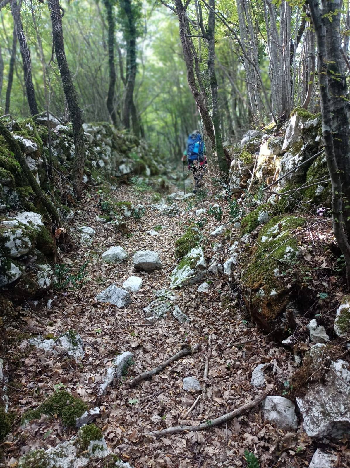
Crossing 5 regions the water situation is very different, in the first part the trail is full of springs and fountains, then as you go down south it decreases, but there are never any problems.
STAGE
Day 1 Sante Marie – Tagliacozzo (connecting STAGE)
(20 km – 14 km if you do not take the detour to the place where Borjes was captured). Elevation gain: uphill 450 m – downhill 550 m
Day 2 Tagliacozzo – Capistrello
(22.4 km). Height differences: uphill 650 m – downhill 650 m
Day 3 Capistrello – Civita d’Antino
(17.5 km). Height differences: uphill 700 m – downhill 550 m
Day 4 Civita d’Antino – Balsorano
(15.3 km). Height difference: uphill 270 m – downhill 750 m
Day 5 Balsorano – Pescosolido
(15 km). Height differences: uphill 650 m – downhill 250 m
Day 6 Pescosolido – Alvito
(16 km). Height differences: uphill 500 m – downhill 600 m
Day 7 Alvito – Picinisco
(17.5 km). Height difference: uphill 550 m – downhill 400 m
Day 8 Picinisco – San Biagio Saracinisco
Day 9 San Biagio – Colli al Volturno (18 km)
Day 10 Colli al Volturno – Monteroduni (18 km)
Day 11 Monteroduni – Roccamandolfi (20 km)
Day 12 Roccamandolfi – Bojano (21 km)
Day 13 Bojano – Sepino (20 km)
Day 14 Sepino – Pontelandolfo
Day 15 Pontelandolfo – Casalduni – Torrepalazzo
Day 16: Torrepalazzo – Benevento
Day 17 Benevento – San Giorgio del Sannio
Day 18 San Giorgio – Fontanarosa (where we eat, sleep and rest)
Day 19 Fontanarosa- Guardia Lombardi
Day 20 Guardia Lombardi – Melfi
Day 21 Melfi (560 m) – Rapolla (site of brigands’ massacre) – Monte Vulture – Rionero in Vulture (670 m) brigandage museum
Day 22 Rionero – Monticchio Lakes (abbey of San Michele, hiding place of brigands) – Calitri (621 m)
Day 23 Calitri -Serra del Prete – Rapone (920 m; Locanda del Borgo)
Day 24 Rapone – Vatt’nier Falls – San Fele – Pierno (or San Cataldo or Sant’Ilario)
Day 25 Pierno (or San Cataldo or Sant’Ilario) – Lagopesole (830 m; visit to the castle and rock paintings of Tuppo li Sassi)
Day 26 Lagopesole – Frusci (site of the killing of Ninco Nanco) – Favale – Monte Caruso – Carmine Sanctuary – Avigliano (870 m)
Day 27 Avigliano – Cefalo – Porcile – Bosco Grande – Cerreta – Potenza (830 m)
SERVICES PRESENT STAGE BY STAGE
Are there any supermarkets? Yes, every 2-3 days of the walk
Are there pharmacies? Yes, every 2-3 days of the walk
SIGNAGE
In 2022 we inaugurated the first week of the walk, all marked red-white and with plaques bearing the logo of the path. You can now find free gps tracks to walk this first part on this website.
DANGERS
Highlight if there are dangers: ravines, dangerous animals. NO
ACCESSIBILITY
Are any sections passable by people with disabilities? NO
ASSOCIATION CONTACTS
info@grandecamminodeibriganti.it
ROAD BOTTOM.
15-20% because of town and city crossings, otherwise all trails and mule tracks
CREDENTIALS
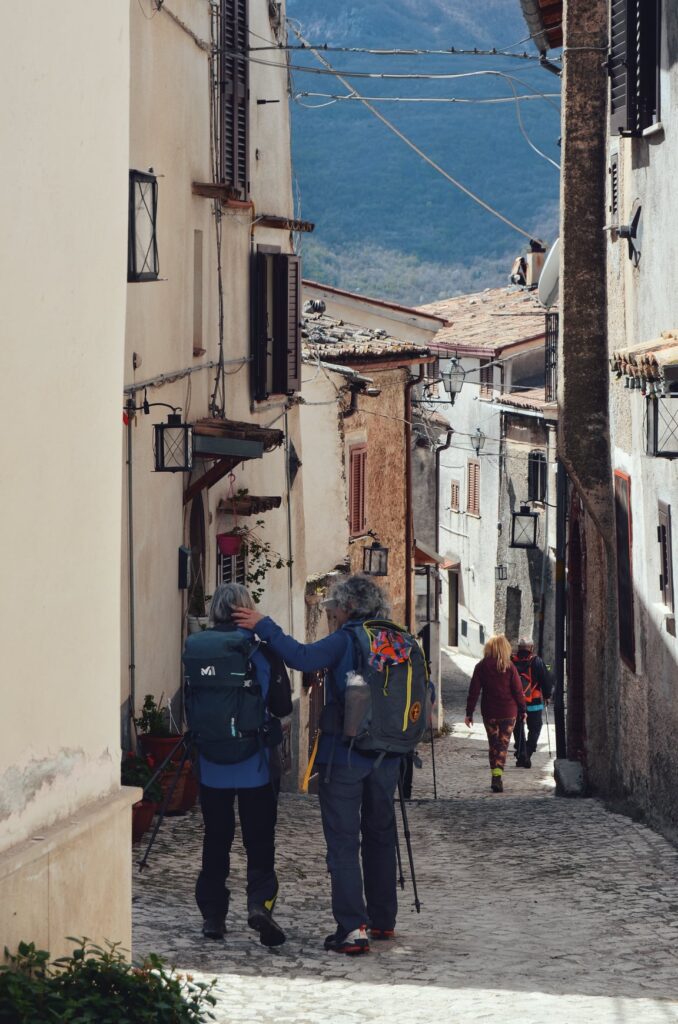
Salvacondotto (the credential): you will be able to pick up the Salvacondotto on departure to be recognized along the Camino. There are two places to pick up the Salvacondotto: Sante Marie and Tagliacozzo. It is free of charge.
TENT WALK
For now, the path is not equipped with tent areas, but it can be walked by sleeping in a tent, taking care to sleep away from villages, perhaps near an isolated spring. There are many along the way. In the future we will set up equipped tent areas, with bathrooms and showers. No permits are needed.


Grande Cammino dei Briganti
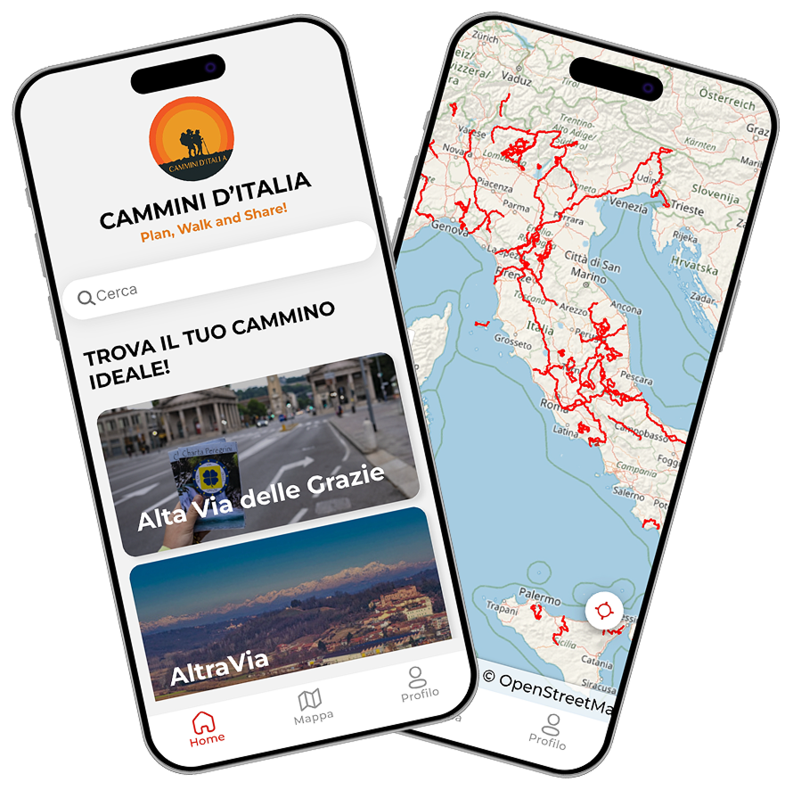
With the free Cammini d’Italia app you can plan and walk the Grande Cammino dei Briganti in total safety, being able to plan the STAGES in detail and walk the route thanks to the integrated GPS technology that supports you in orientation during your adventure.
⠀Inside the app you will find many other paths present in Italy. Thanks to the georeferenced tracks of many routes you will be able to study the itinerary that suits you best and also download the GPX tracks of the individual STAGEs offline.
The app also includes a complete digital map of all the paths surveyed to date on our portal, giving you a wide range of choices among the many paths in the Belpaese.
⠀⠀
Cammini d’Italia is the perfect app for those who want to explore the beauty of Italy on foot, discovering hidden places surrounded by nature. Download it for free today and start planning your next adventure!
⠀
⠀
 ⠀⠀⠀
⠀⠀⠀