VIA DEGLI DEI
The Via degli Dei is an approximately 130-kilometer-long route that connects Piazza Maggiore in Bologna and Piazza della Signoria in Florence, crossing the Tuscan-Emilian Apennines.
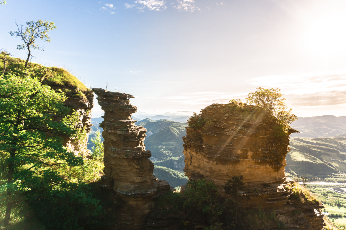
The Via degli Dei is an approximately 125-km-long route that connects the center of Bologna with Florence, crossing the Tuscan-Emilian Apennines. The route takes its name from the place names of some places dedicated to deities from Roman times: Monte Venere, Monte Adone, Monzuno and Monte Luario.
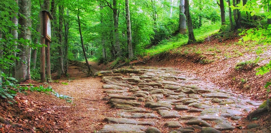
The path was used over the centuries as a link between Emilia and Tuscany. The cobblestones of the alleged military Flaminia, a Roman road commissioned in 187 B.C. by consul Caius Flaminius, are still visible today.
HISTORY
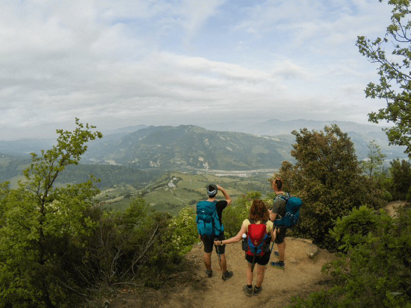
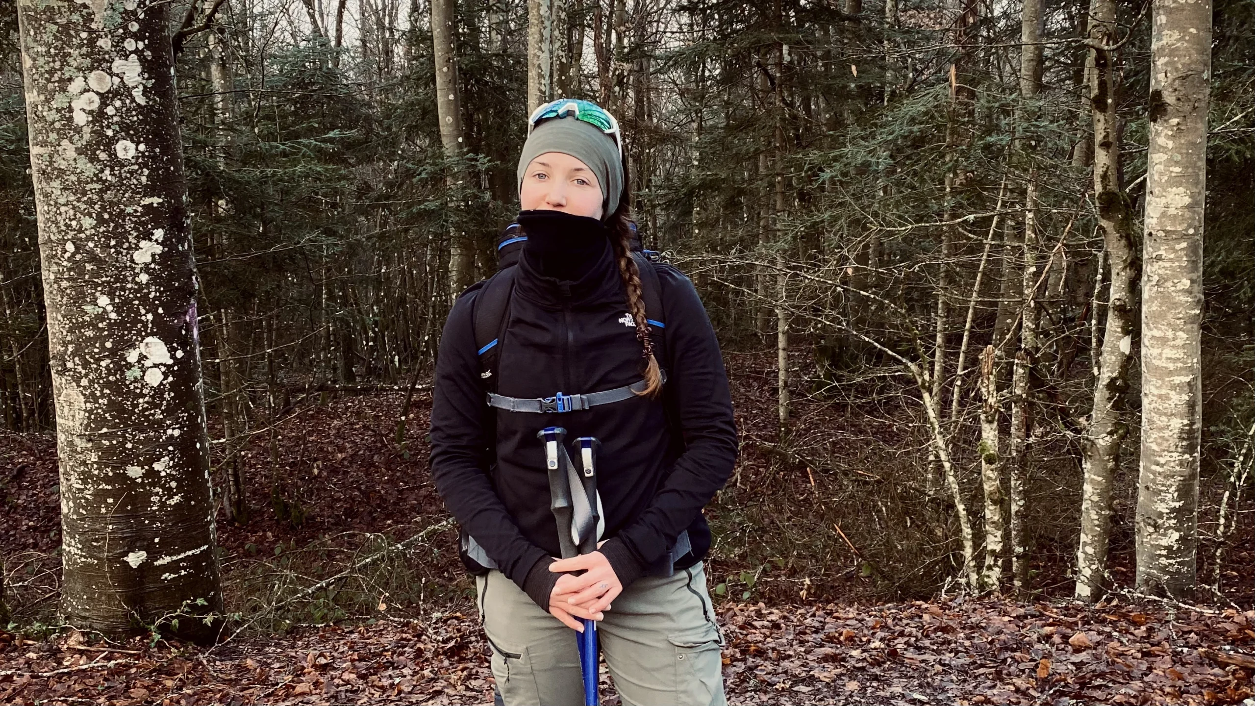
The Via degli Dei is a route born out of the goliardic spirit of a group of Bolognese hikers from the C.A.I. (i Dû pâs e ‘na gran magnè, “two steps and a big meal” in Bolognese dialect) who wanted to reach Florence by crossing the Apennines and fortify themselves with typical Tuscan Florentine meat as the ultimate prize. The Via degli Dei is also a historical route, traveled since ancient times by Etruscans and Romans and used by merchants and travelers throughout the Middle Ages. However, the Tuscan-Emilian Apennines also experienced tragic moments, such as World War II; in fact, the route encounters many places crossed by the Gothic Line. The route has also enabled a revival of small towns in the Apennines and created new job opportunities related to tourism.
SIGNAGE
The signage follows the signage of the C.A.I.
To support the signage you can use theCammini d’Italia app
SERVICES
Supermarkets and pharmacies are present in the main urban centers: Bologna, Casalecchio di Reno, Sasso Marconi, Monzuno, Madonna dei Fornelli (gas station only), Barberino di Mugello, Borgo San Lorenzo, San Piero a Sieve, Fiesole, Florence.
WATER
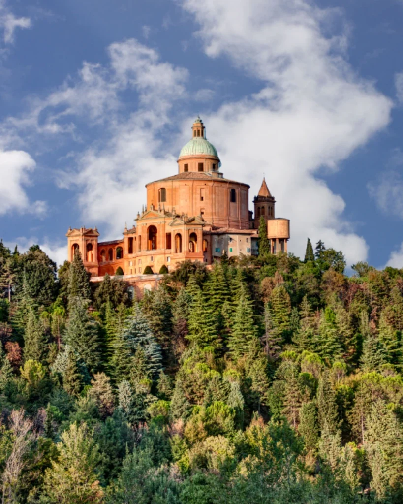
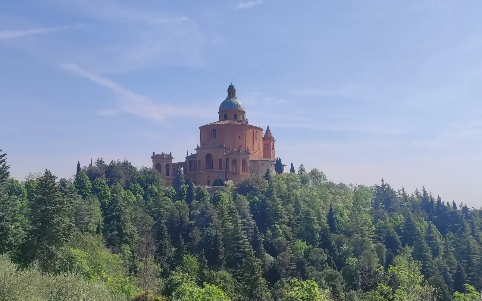
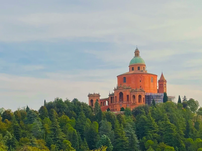
Sanctuary of St. Luke 44.479166,11.297268
Locks Park 44.468190,11.286140
San Gherardo Oasis 44.425270,11.287073
Vizzano Bridge 44.412323,11.274351
Mount Belvedere – Vizzano Street 44.399367,11.277971
Monte Alto – Orchid Street 44.374167,11.287470
Mount Adonis 44.346177,11.295380
Brento 44.340305,11.302696
Monterumici 44.314423,11.282325
Three Beams 44.289220,11.277030
Monzuno 44.278330,11.270510
Alpine cabin 44.269934,11.272818
Ca ed Pajarin 44.219224,11.257045
Madonna dei Fornelli 44.200310.11.260570
Pian di Balestra 44.161717,11.261756
Futa Cemetery 44.094594,11.275156
Burnt Tavern Pass 44.076011,11.321912
Montepoli Church 44.031831,11.337232
St. Agatha 44.021184,11.335239
Seagull 44.001550,11.319560
San Piero a Sieve 43.963358,11.324214
Trebbio Castle 43.952370,11.285410
Campomigliaio 43.937397,11.302960
Monte Senario Convent 43.895360,11.333200
CONTACTS
infoSASSO (Tourist Office of the Municipality of Sasso Marconi)
tel: +39 051 6758409 mail: info@infosasso.it
Appennino Slow (Managing body of the Trail)
mail: info@appenninoslow.it
CREDENTIAL
The official credential costs €3 and can be obtained in Bologna, at the eXtraBO office in Piazza Nettuno 1/a, or requested at home mailed from the infoSASSO office of the Sasso Marconi municipality.
IN TENT
Free camping as well as bivouacking are not tolerated in either Emilia-Romagna or Tuscany, according to their respective regional laws:
Emilia-Romagna: Regional Law No. 16 of July 28, 2004
Tuscany: regional law no. 5 of 2001 at art. 12
Tent camping is then allowed at designated facilities, such as campgrounds, or by contacting accommodations that offer this type of service.
STAGE 01
STAGE 01: Bologna to Badolo
Departure: Bologna
Arrival: Badolo
Distance: 21.3 km
Height difference: +817 m / – 515 m
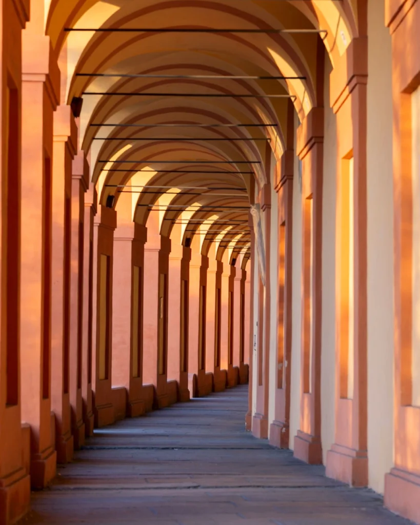
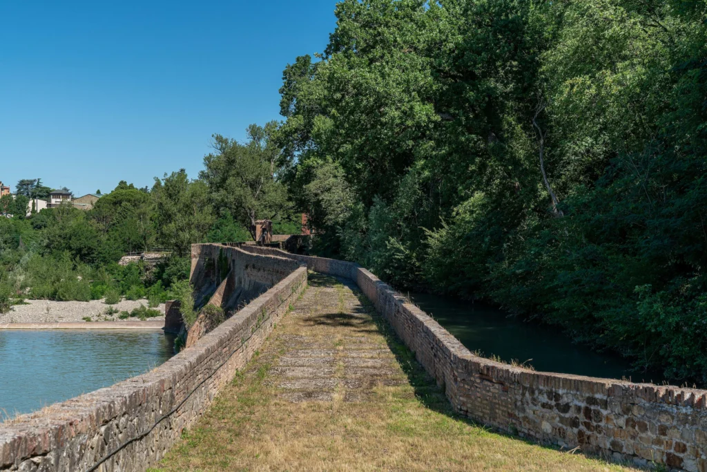
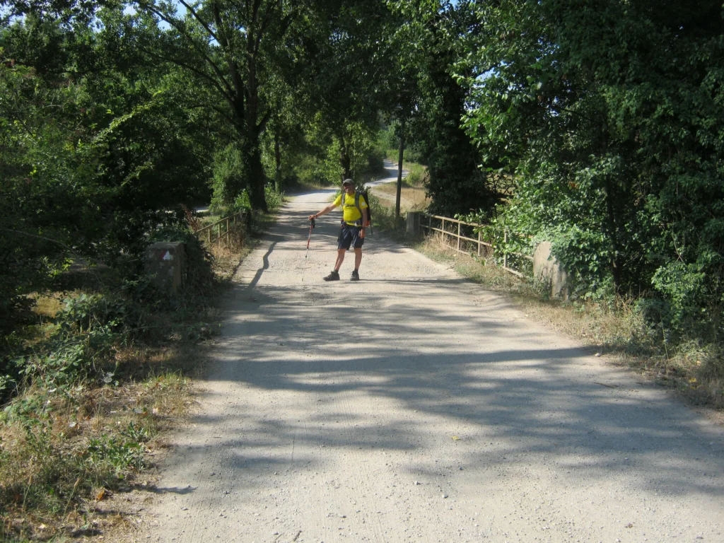
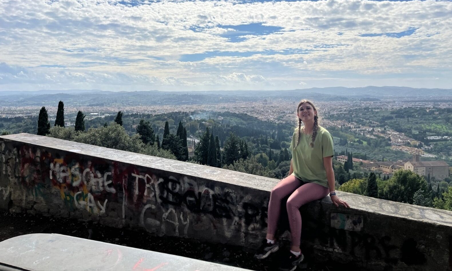
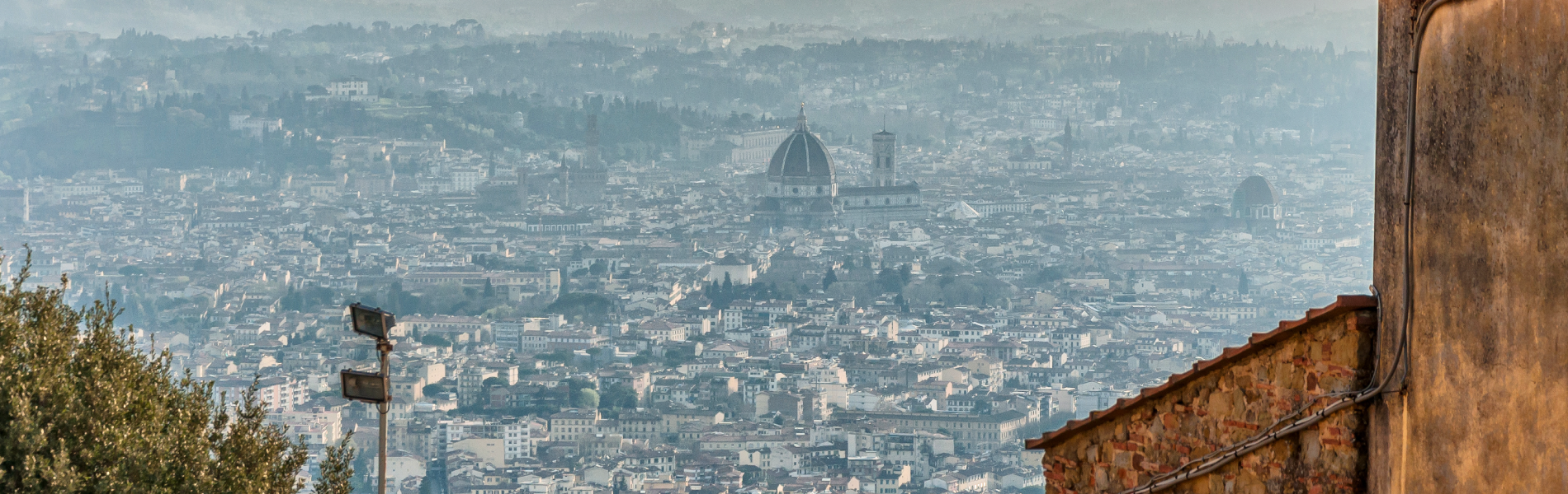
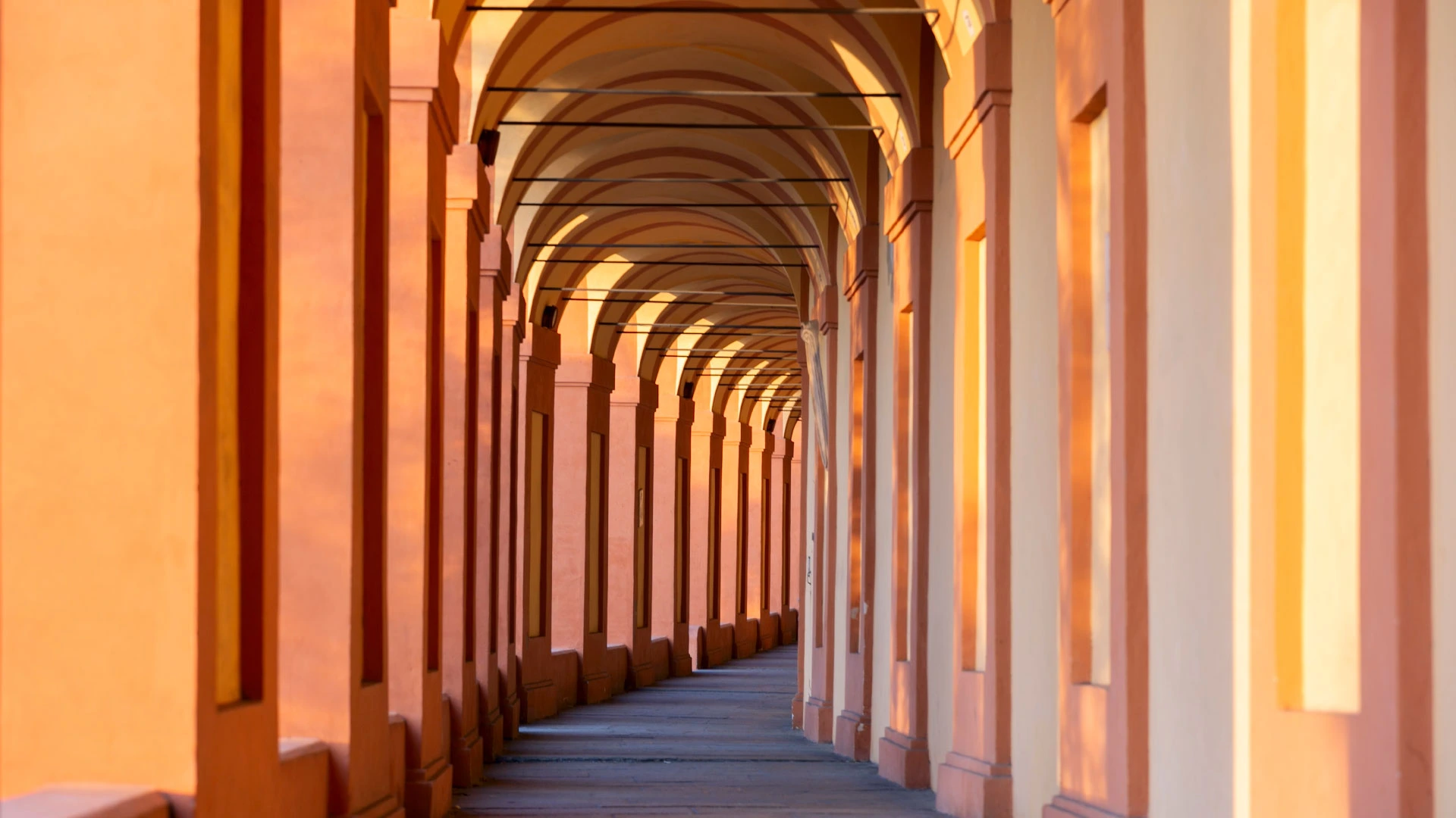
We start from Piazza Maggiore in Bologna and reach the Sanctuary of San Luca in the suburbs through its long and tiring portico. Then we skirt the Reno River going in the direction of Sasso Marconi and arrive at the end of the STAGE in Badolo.
STAGE 02
STAGE 02: Badolo to Madonna dei Fornelli
Departure: Badolo
Arrival: Madonna dei Fornelli
Distance: 28 km
Height difference: +1460 m / – 1038 m
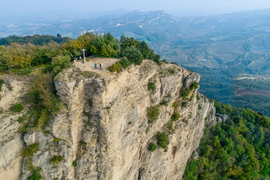
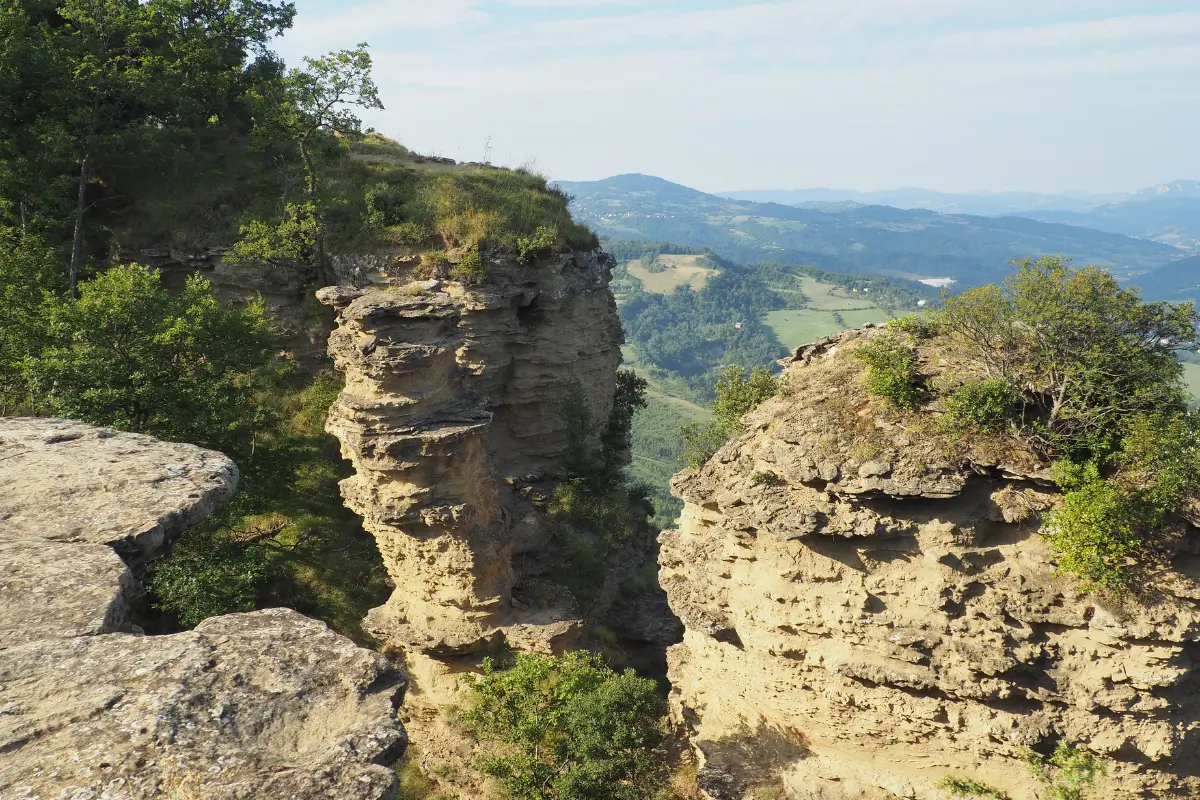
The second STAGE includes with the morning hike of Monte Adone from which there is a breathtaking view. It continues until arriving in Monzuno around lunchtime and then to Madonna dei Fornelli.
STAGE 03
STAGE 03: Madonna dei Fornelli to Monte di Fo’
Departure: Madonna dei Fornelli
Arrival: Futa Pass
Distance: 17.5 km
Height difference: +783 m / – 753 m
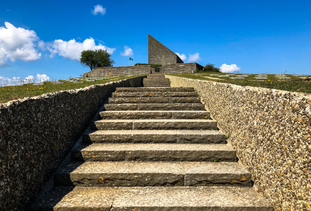
The third stage is certainly the most challenging in terms of elevation gain; in fact, we cross the Emilian side of the Apennines to reach Tuscany. On this stage it is possible to encounter many sections of the Flaminia Militare and the Futa Germanic cemetery.
STAGE 04
STAGE 04: Futa Pass to San Piero a Sieve
Departure: Futa Pass
Arrival: San Piero a Sieve
Distance: 21 km
Height difference: +641 m / – 1197 m
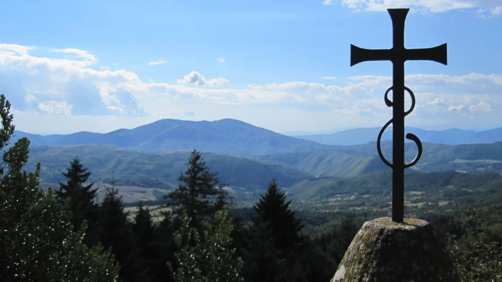
The fourth stage involves a major initial elevation gain to reach Monte Gazzaro and its crosses. Once at the top, the route continues along Tuscan landscapes until reaching San Piero a Sieve.
STAGE 05
STAGE 05: San Piero a Sieve to Vetta le Croci
Departure: San Piero a Sieve
Arrival: Vetta le Croci
Distance: 18 km
Height difference: +750 m / – 430 m
STAGE 06
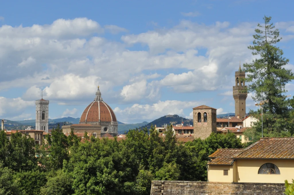
STAGE 06: from Vetta le Croci to Florence
Departure: Vetta le Croci
Arrival: Florence
Distance: 18 km
Height difference: +250 m / – 645 m

VIA DEGLI DEI GUIDE
120 km between Emilia-Romagna and Tuscany
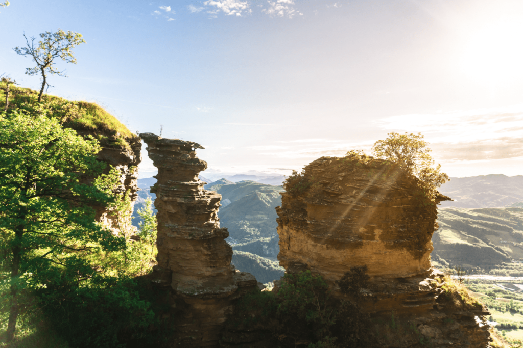
On foot or by bike, from Piazza Maggiore to Piazza della Signoria: six days of travel along the ancient Roman pavements of the Flaminia Militare, passing through centuries-old beech and chestnut forests and brushing against peaks laden with history and myth, such as Mount Adonis and Mount Venus.
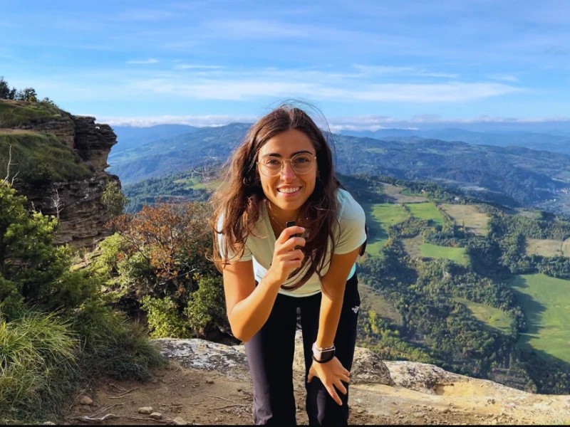
La Via degli Dei, one of the gems of the Apennines, is an ideal choice for trekking and mountain biking enthusiasts.
This comprehensive guide accompanies you step by step, with route descriptions in both directions, detailed maps, elevations, elevation differences, and directions for staying overnight, including in tents. There is no shortage of historical and artistic insights and tips for exploring the most fascinating locations along the way.


Journey diaries
Listen to our podcast
Insights
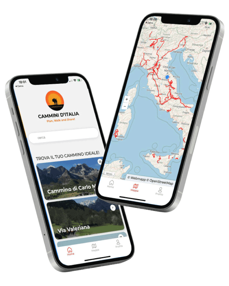
Download our App
With the free Cammini d’Italia app, you can plan and walk the Via degli Dei in total safety, being able to plan the stages in detail and walk the route thanks to the integrated GPS technology that supports you in orientation during your adventure.
⠀Inside the app you will find many other paths present in Italy. Thanks to the georeferenced tracks of many routes you will be able to study the itinerary that suits you best and also download the GPX tracks of the individual STAGEs offline.
The app also includes a complete digital map of all the paths surveyed to date on our portal, giving you a wide range of choices among the many paths in the Belpaese.
⠀⠀
Cammini d’Italia is the perfect app for those who want to explore the beauty of Italy on foot, discovering hidden places surrounded by nature. Download it for free today and start planning your next adventure!
⠀
⠀
 ⠀⠀⠀
⠀⠀⠀