Cammino dell'Intrepido Larth
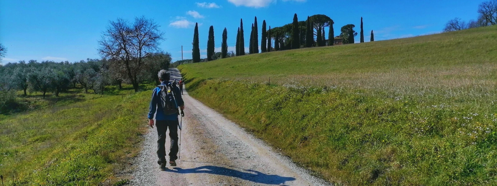
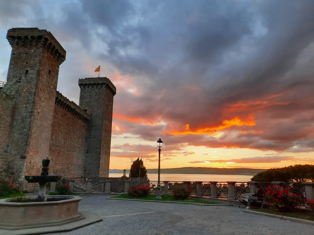
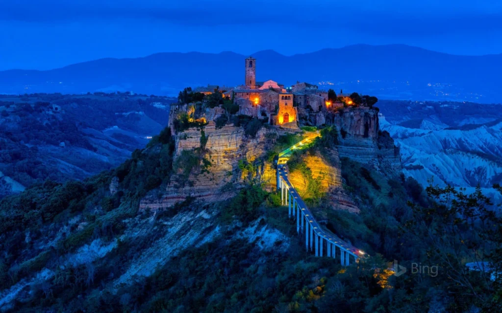
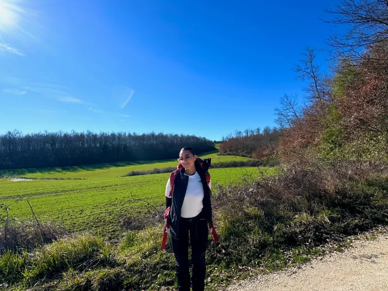
Larth’s Cammino Orvietano is a loop hiking trail of about 60 kilometers, straddling Umbria and Lazio. A path to be experienced in three days, starting from Orvieto and reaching first Bolsena and then Civita di Bagnoregio.
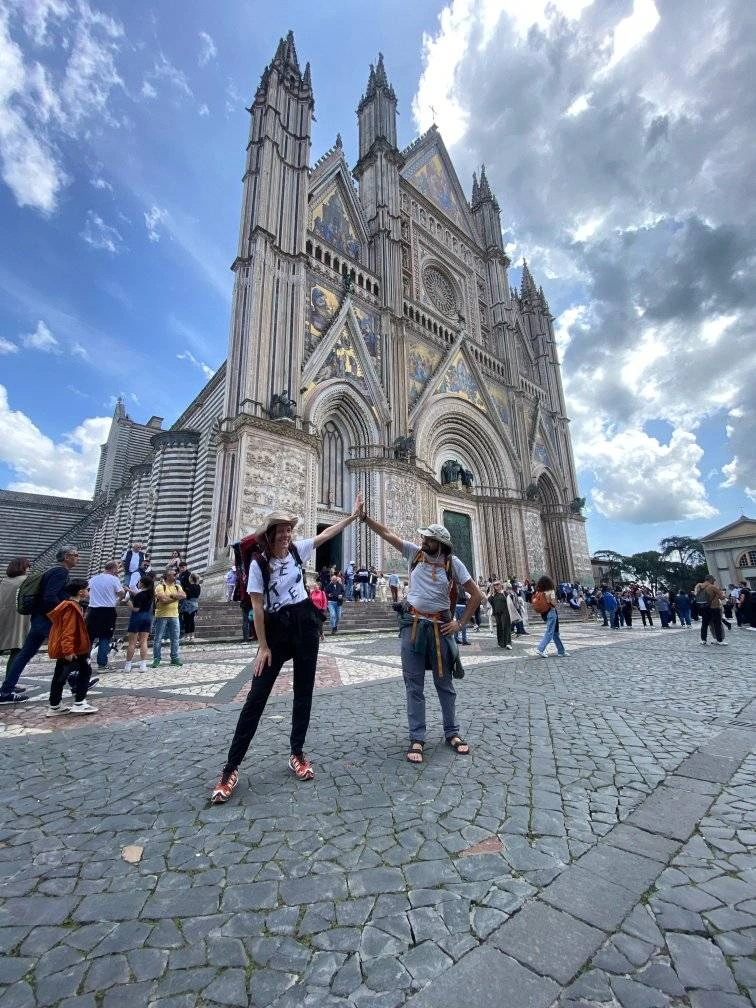
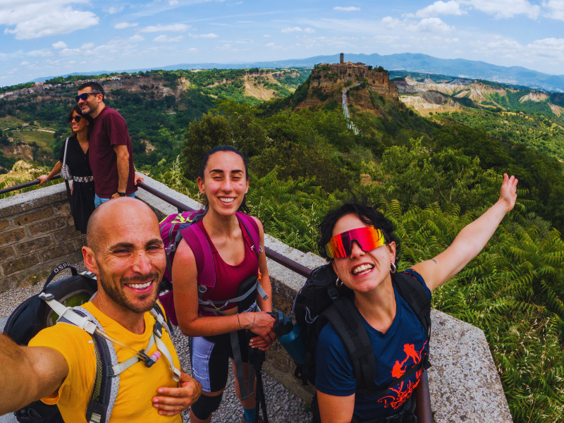
A hiking and tourist path, as well as a religious and cultural pilgrimage that passes through places of extraordinary artistic and natural beauty. An authentic and evocative experience that accompanies the walker to discover some of the most precious pearls of Tuscia. The walk is deeply linked to the miracle of Bolsena. Two emblematic places can be visited along the way: the Basilica of Santa Cristina, where the Eucharistic Miracle that led to the institution of the solemnity of Corpus Christi took place in 1263, and the Cathedral of Orvieto, which houses the Sacred Corporal, material evidence of that event. We walk at low altitudes, between 200 and 600 meters above sea level, crossing territories rich in history and spirituality: ancient Roman roads, stretches of the Via Francigena and the Via Romea Germanica, landscapes shaped by time and nature. The route also touches some Sites of Community Importance (SCI), such as Lake Bolsena, Turona Park and the famous gullies of Civita di Bagnoregio, also known as "the dying city."
HISTORY
The Trail of the Intrepid Larth was designed in honor of the Etruscan warrior Larth Cupures, known as “the intrepid,” whose tombstone can be seen in the “Claudio Faina” museum in Orvieto. Larth was an Etruscan warrior who lived in the fifth century BC in Velzna, present-day Orvieto. Having moved from Veio to enlist in the Etruscan militia of instance in Velzna, Larth soon joined the local aristocracy and became a very important figure within the community. He was nicknamed “the intrepid” because he was particularly courageous. Larth died in Velzna around 530 BC, and an imposing tomb worthy of a hero was dedicated to him in the Crocifisso del Tufo necropolis in Orvieto, furnished with a sumptuous grave goods assemblage and a funerary cippus depicting an Etruscan warrior. Today Larth’s tombstone can be seen in the Claudio Faina Museum in Orvieto, Piazza Duomo, 29.
SERVICES
Supermarkets and pharmacies available every beginning/end of STAGE
WATER
There are plenty of bars, pizzerias, groceries, restaurants and water supply points in the towns at the beginning or end of the STAGE.
Along the route, however, refreshment, water supply and toilet points are not so frequent. Below you will find a list of drinking fountains or points where you can refuel with water
Along the first STAGE the Orvieto – Bolsena
- km 0,700 – Orvieto – POZZO DELLA CAVA – Fontanella water e credential stamp point (services toilets) – Coordinates 42.718423, 12.105401
- km 2,900 – BAR OBELIX. Credential stamp point – stamp personalized Camino (services restrooms) – Coordinates 42.713481, 12.092496
- km 6.850 – Sugano – Cavour Street, 13- Minimarket – stamp personalized Camino – Coordinates 42.711369, 12.058279
- km 6.900 – Sugano – Cavour Street, 23 – MANGI BU BAR (services restrooms)
- km 6.950- Sugano – Cavour Street, 43 – Fontanella water – Coordinates 42.711956, 12.057834
- km 7.800 – TIONE spring – Caution: NON-POTABLE WATER
- km 10.500 – BIRRALFINA craft brewery. Stamp point credential – personalized stamp of the Camino (services restrooms) – Coordinates 42.699238, 12.034287
- km 12,200 – making a short round trip detour of totaling 400 meters, it is possible to refuel with water at a drinking fountain in the small town of Casa Perazza – Coordinates 42.691129, 12.017080
- from km 12,200 until the end of the STAGE there are no drinking fountains or bars or refreshment points
Along the second STAGE the Bolsena – Bagnoregio
- km 5.900 – Turona Park – Fountain water – Coordinates 42.607032, 12.008262
- km 9,000 – AMALTEA Dairy – Credential stamp point (restrooms) – Coordinates 42.610229, 12.042625
- km about 17,500 – at the end of the Camino Bar Bona Ventura – stamp personalized Camino – (services restrooms) – Coordinates 42.626299, 12.097020
Along the third STAGE the Bagnoregio – Orvieto
- km 2.800 – Lubriano – Bar Tre Scimmiette. Stamp point credential – (services restrooms)
- Km 2.850 – Lubriano – Col di Lana Square – Fontanella and “Water House” which dispenses chilled water, natural or sparkling – Coordinates 42.636365, 12.110321
- Km 2.850 – Lubriano (near Bar Tre Scimmiette) Minimarket at Via. National, 11
- km 5,000 – CASA VESPINA farm. Stamp point credential (services restrooms) – Coordinates 42.651487, 12.118130
- km 10.400 – New Channel – Donatello Sorci’s Butcher Shop. Sandwiches with cold cuts of their own production, porchetta, pizza by the slice and drinks.
- Km 10.400 SOCIAL AND CULTURAL CENTER – Bar (services restrooms) – Coordinates 42.686086, 12.129894
- km 10.500 – New Channel, Moon Street – Fountain water – Coordinates 42.685861, 12.129941
- km 10.800 – Canale Vecchio, via Marte – Fountain water – Coordinates 42.689672, 12.12731
- km 13.500 Farm LA CACCIATA. Credential stamp point (restrooms) – Coordinates 42.695962, 12.113325
- from km 13.500 to the end of the stage, there are no drinking fountains or bars or points refreshment.
SIGNAGE
Light blue arrows, stickers and markers.
DANGERS
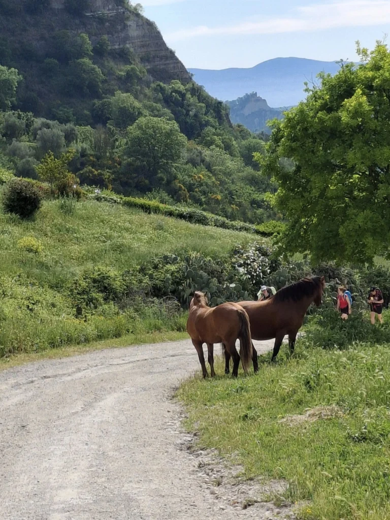
In a couple of stretches we walk alongside flocks of sheep with sheepdogs, but encounters are not frequent. More specifically, the n these areas:
- STAGE 1: Orvieto to Bolsena – in the Sugano area (from km 4,500 to km 5,500)
- STAGE 3 from Bolsena to Bagnoregio – in the area of “La Capraccia” after the AMALTEA Farm (km 9.500 to km 10.500)
ROAD BOTTOM.
16% asphalt, amounting to about 10 km total, over 3 STAGES.
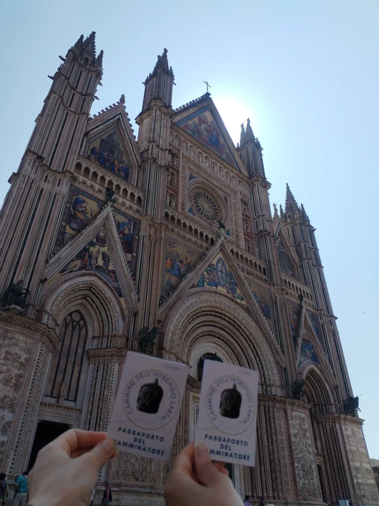
CREDENTIAL AND TESTIMONIUM
Credential available and can be purchased for €5.00. Visit the official website: https://camminodilarth.it/
IN TENT
In Orvieto and Bolsena there are campgrounds or areas equipped to pitch your tent, but unfortunately in Bagnoregio there are no places to camp. We do not recommend free camping and/or bivouacking
CONTACTS
Visit the official website: https://camminodilarth.it/
E-mail: info@camminodilarth.it
STAGE 01: ORVIETO - BOLSENA
Departure: Orvieto
Arrival: Bolsena
Distance: 21.7 km
Elevation Difference: +574 m / – 579 m
Road surface: Asphalt (10 %) , dirt (79%) and urban route (11%)
The first STAGE of the Cammino di DANTE is the most “tiring,” not only because of the length of the route, but also because of some continuous ups and downs along the way. The beauty of Lake Bolsena, however, will repay any effort.
STAGE 02: BOLSENA - CIVITA DI BAGNOREGIO
Departure: Bolsena
Arrival: Civita di Bagnoregio
Distance: 18 km
Elevation Difference: +375 m / – 295 m
Road surface: Asphalt (12%) , dirt (68%) and urban route (20%)
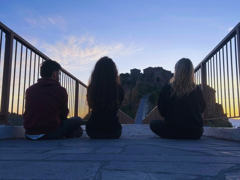
On the second stage of the Intrepid Larth’s Path, we walk a short distance on one of the most beautiful stages of the Via FrancANCIGENA, the Bolsena – Montefiascone. Reaching Civita di Bagnoregio at the end of the STAGE is a thrill that will always remain in walkers’ memories.
STAGE 03: CIVITA DI BAGNOREGIO - ORVIETO
Departure: Civita di Bagnoregio
Arrival: Orvieto
Distance: 19 km
Height difference: +561 m / – 643 m
Road surface: Asphalt (11%) , dirt (62%) and urban route (7%), secondary asphalt roads (20%)
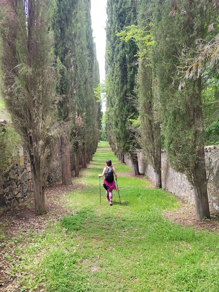
The third STAGE begins immediately with a steep descent of about 1.5 km, which is followed by an equally steep climb of 1.5 km, until it reaches the village of Lubriano. The rest of the STAGE is a walk through art, history and nature.
Official routes can be followed at the following links:
WIKILOC: https://it.wikiloc.com/wikiloc/user.do?id=13886302
KOMOOT: https://www.komoot.com/it-it/user/2480362457718/tours

Journey diaries
Path of the Intrepid Larth
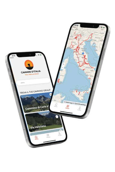
With the free Cammini d’Italia app, you can plan and walk on the Intrepid Larth Trail in complete safety, being able to plan the STAGE in detail and walk the route thanks to the built-in GPS technology that supports you in orientation during your adventure.
Within the app you will find many other paths present in Italy. Thanks to the georeferenced tracks of many routes you will be able to study the itinerary that suits you best and also download the GPX tracks of the individual STAGEs offline.
The app also includes a complete digital map of all the paths surveyed to date on our portal, giving you a wide range of choices among the many paths in the Belpaese.
⠀⠀
Cammini d’Italia is the perfect app for those who want to explore the beauty of Italy on foot, discovering hidden places surrounded by nature. Download it for free today and start planning your next adventure!
 ⠀⠀⠀
⠀⠀⠀