
Via Spluga
The Via Spluga is a hiking-cultural trail straddling Switzerland and Italy in the central Alps that for centuries has linked the two towns of Thusis (Switzerland) and Chiavenna, a Slow City and Touring Club Orange Flag.
From Switzerland to Italy, in the heart of the Alps.
The viaSplugafollows the ancient paths traced more than 2,000 years ago by pilgrims and merchants, passing through historic villages, majestic gorges and renowned spas.
A trekking route surrounded by greenery, ideal for discovering the history, traditions and breathtaking landscapes of the Western Alps.
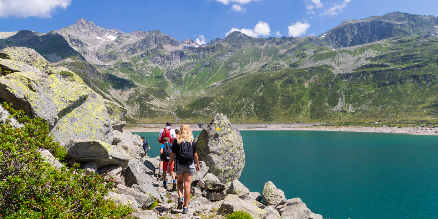
This cross-border trail, once an important trade route, starts in Thusis, Switzerland, and crosses the Splügen Pass at an elevation of 2,115 meters (7,955 feet), providing spectacular views of the surrounding mountains. Beyond the pass, the trail descends to Chiavenna, Italy, a Slow City and Touring Club Orange Flag.
Along the way, the ViaSpluganot only tells centuries of history, but offers the opportunity to immerse oneself in a unique alpine landscape and connect with the local people, who are deeply connected to life around the pass.
An experiential journey to disconnect from everyday life, regaining energy and connection with nature.
HISTORY
In the footsteps left by the Romans.
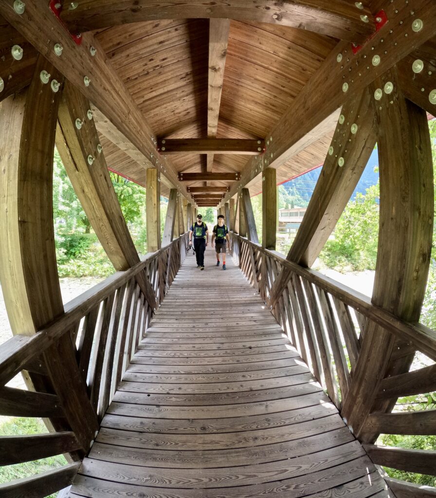
The ViaSpluga is a hiking-cultural trail in the Central Alps that has linked the two towns of Thusis in Switzerland and Chiavenna in Italy for centuries. The trail measures about 70 kilometers, which can be done from north to south or vice versa. From its origins, the viaSpluga began as a connecting route for transporting goods on the backs of pack animals. Its winding mule tracks have been preserved to the present day, allowing it to be revived, where the original structure is largely maintained or has been restored.
Throughout the ages, the “Sublime Pass” has attracted the most famous personalities.
The Splügen valleys’ notoriety is ascertained from the earliest centuries: from the Roman general Stilicho, to Otto 1st of Germany; from Leonardo da Vinci to Erasmus of Rotterdam; from the Wurttembergs to Goethe. Plus internationally renowned painters, poets, musicians; writers of the caliber of Conan Doyle and Hans Christian Andersen. Among the Italians: Salvatore Quasimodo, Giovanni Guareschi, Joshua Carducci. Intellectuals such as Nietsche, Bakunin and Engels were also fascinated by Spluga. Einstein himself stayed there for a short time.
The story of the presence and passage of these people along the Spluga Pass is told inside the Via Spluga and Val San Giacomo Museum in Campodolcino.
WATER
Each STAGE includes several fountains and springs for refueling.
SERVICES
Are there supermarkets? Yes, also bakeries and dairies
Are there any pharmacies? Yes
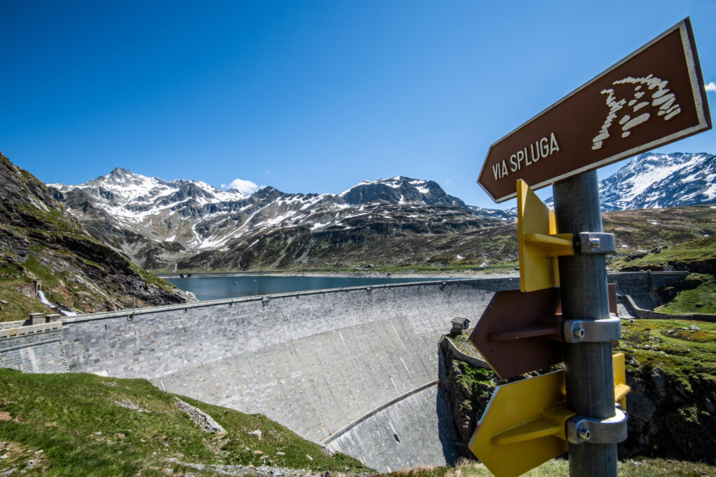
SIGNAGE
Both vertical and horizontal signage present.
Vertical: special brown sign + yellow sign with number 50 (Swiss but also present in Italy)
Some places also have bilingual (ita/ted.) information panels about the place.
Horizontal: in both Switzerland and Italy, the trail marker is white and red.
DANGERS
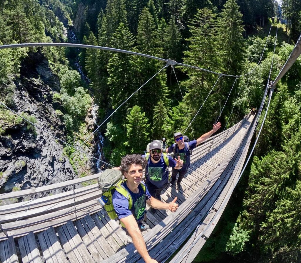
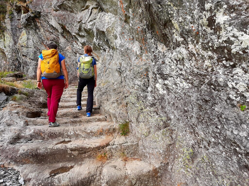
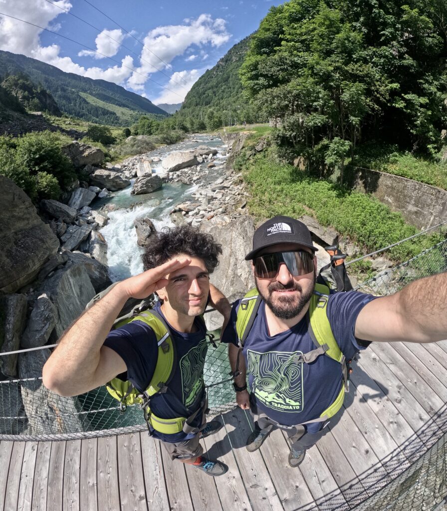
The Via Spluga is a mountain hiking trail; some sections require a certain level of experience, good physical condition, and particular caution (especially along the high section between Thusis and Andeer and through the Cardinello Gorge).
Appropriate equipment for weather conditions is recommended. After heavy and/or unexpected precipitation (rain or snow), it is advisable to inquire about the condition of the trails at local tourist offices. In case of bad weather, it is recommended to carefully consider moving by regular bus.
ROAD BOTTOM.
Mainly mountain trails and in some short sections white roads
IN TENT
It is not possible to walk the Via Spluga without relying on the accommodation facilities available along the route.
- Campsites are present at each STAGE.
Contact the Valchiavenna Tourist Consortium for details. All contacts can be found under “Contacts.”
PAPER GUIDE.
The printed guide can be purchased from the website:
STAGE 01
STAGE 01: Thusis to Andeer
Departure: Thusis
Arrival: Andeer
Distance: 17.5 km
Height difference: +783 m / – 519 m
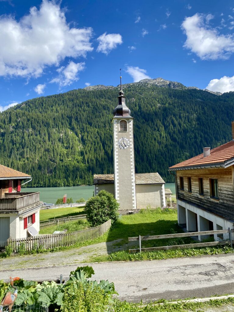
We start in Thusis, a charming and orderly Swiss town in Graubünden, and then immediately arrive at one of the most picturesque as well as terrifying places: the Via Mala Gorge. The route ends in the village of Andeer, with its beautiful painted palaces, cobblestone streets and renowned thermal baths.
STAGE 02
STAGE 02: Andeer to Splügen
Departure: Andeer
Arrival: Splugen
Distance: 14.4 km
Height difference: +754 / – 258 m
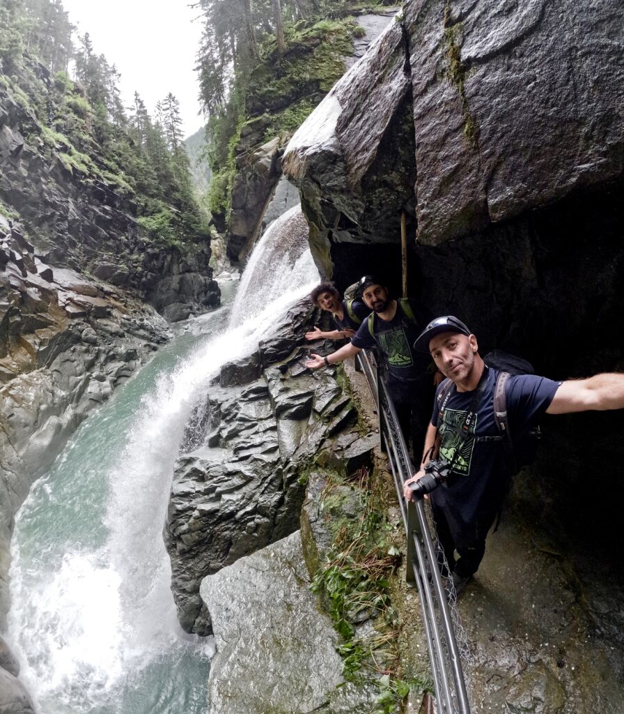
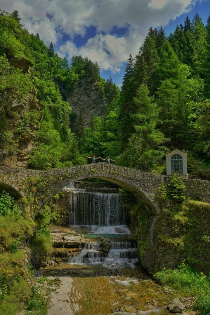
From the splendid Romansh-speaking capital, you reach the beautiful, bubbling Roffla Falls. Following the ancient dirt road, you arrive in Splügen, a town that has grown over the centuries thanks to trade across the pass of the same name.
STAGE 03
STAGE 03: Splügen to Island
Departure: Splugen
Arrival: Island
Distance: 17 km
Height difference: +736 / – 946 m
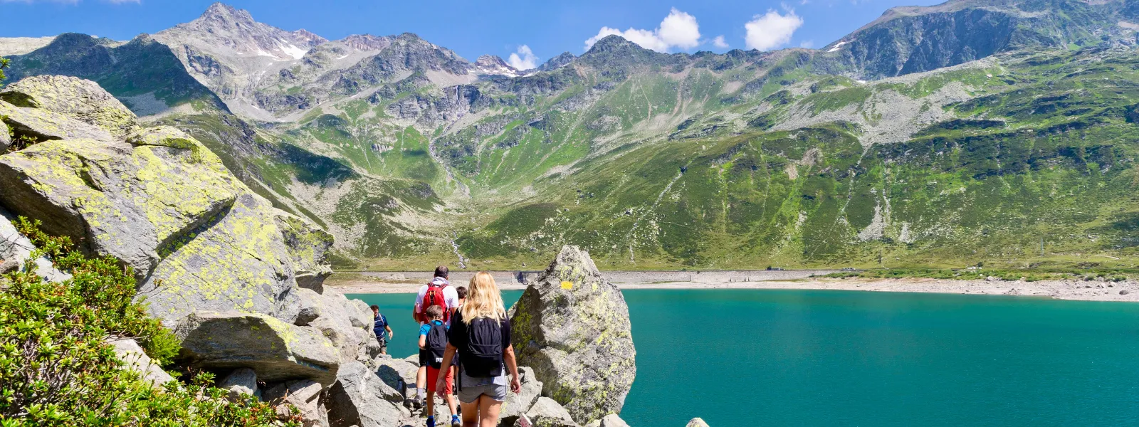
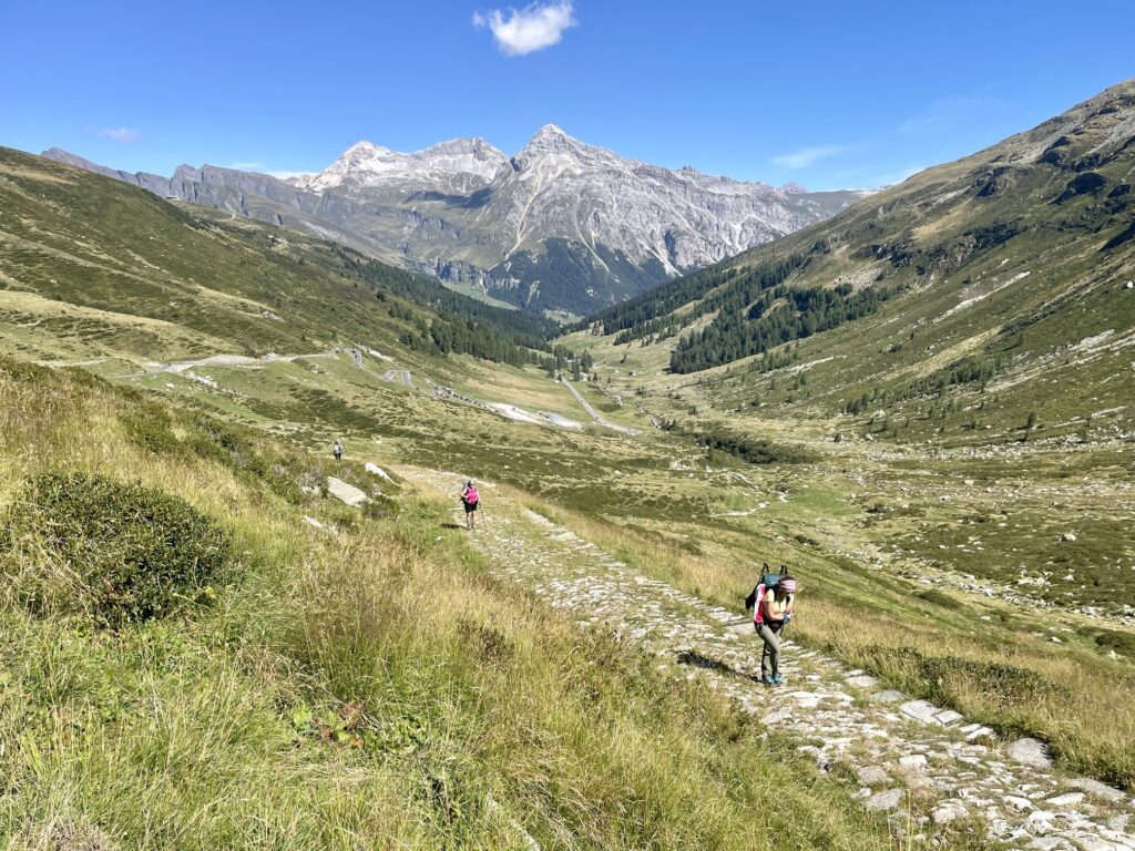
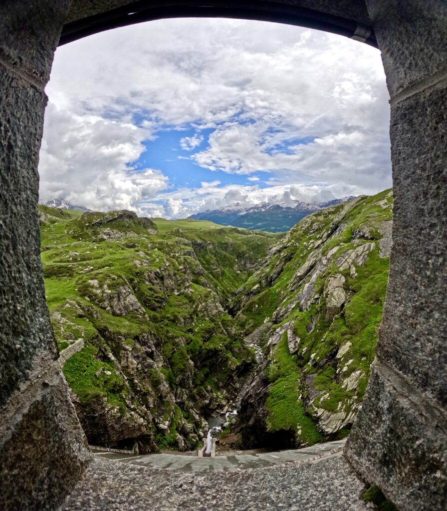
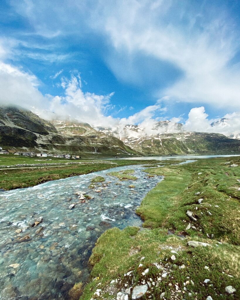
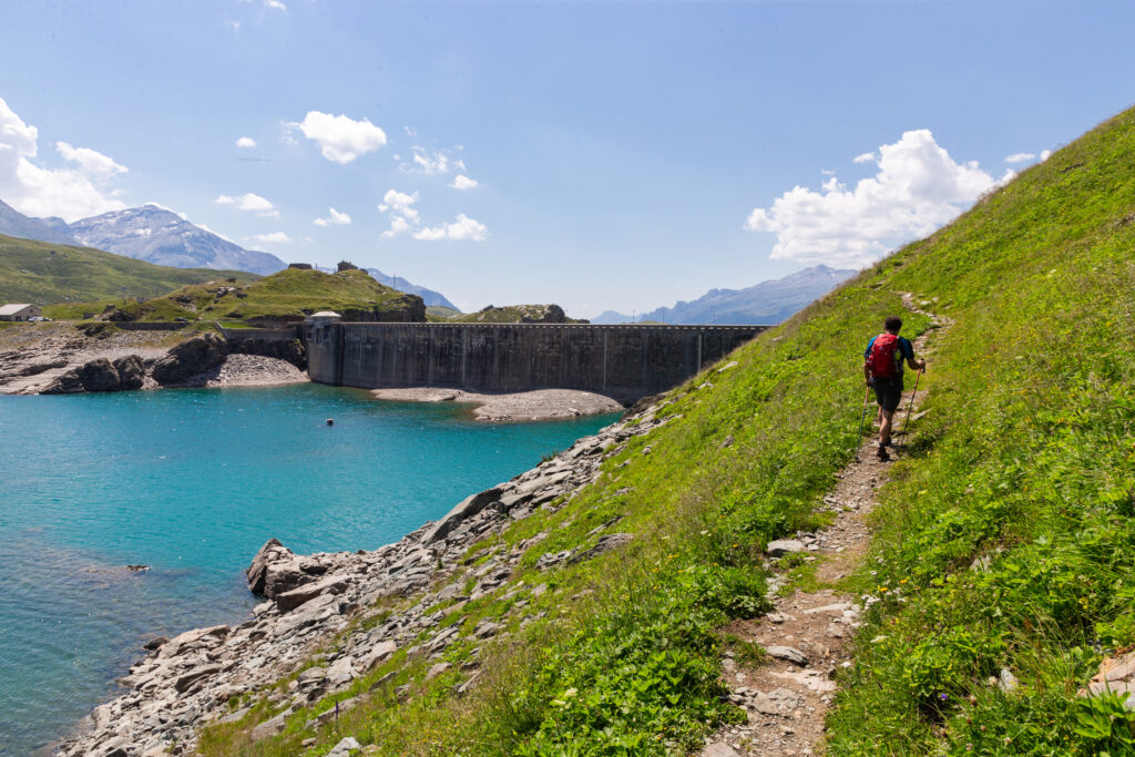
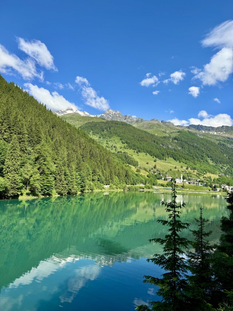
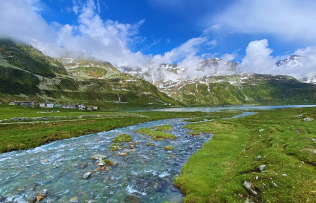
High-altitude grasslands with breathtaking views of the surrounding alpine peaks, paved and well-maintained mule tracks are the characteristics of this STAGE, which climbs from the village of Splügen up the north side of the Spluga Pass to reach the village of Montespluga, where the atmosphere of yesteryear can be felt. The route continues to the right of the reservoir to arrive at one of the two dams and enjoy the special view of the Cardinello Gorge-one of the stretches one remembers most fondly!
STAGE 04
STAGE 04: Isola to Chiavenna.
Departure: Island
Arrival: Chiavenna
Distance: 20 km
Height difference: +176 / – 1098 m
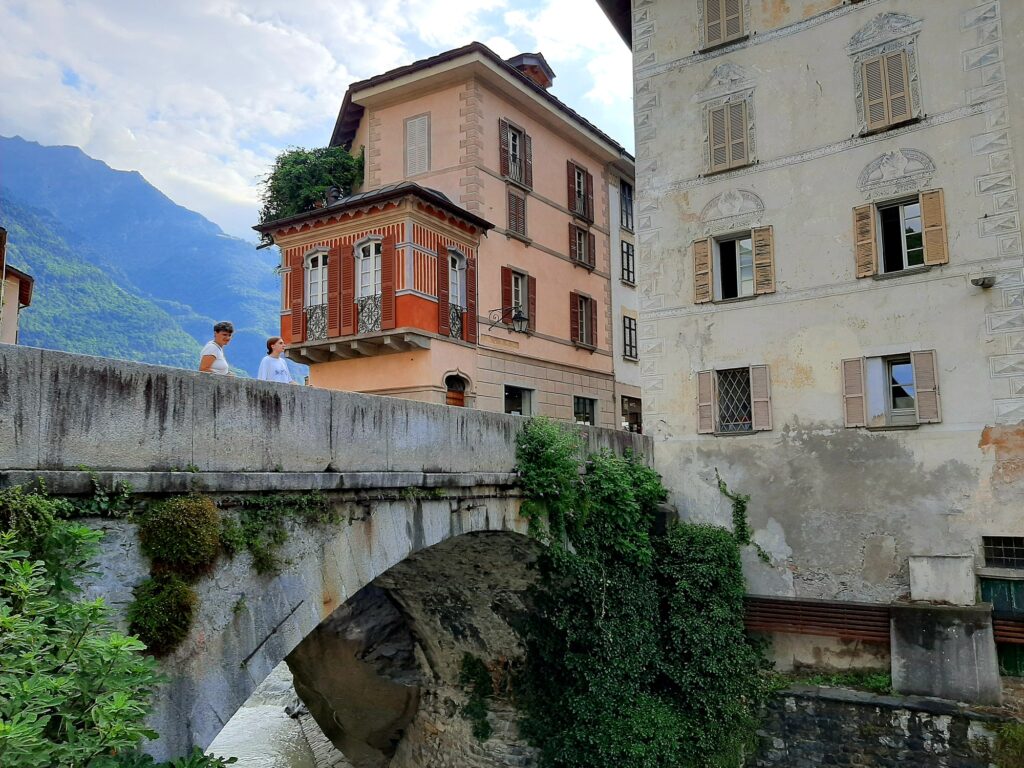
This section is all downhill and leads along the Liro stream to the discovery of the San Giacomo Valley; you walk along paths between low walls and well-maintained meadows, passing through chestnut forests and places of historical and religious interest. Chiavenna, Slow City and Orange Flag of the Italian Touring Club, is reached by a scenic trail that offers views of the entire valley of the same name.


Journey diaries
Listen to our podcast
Insights
Via Spluga
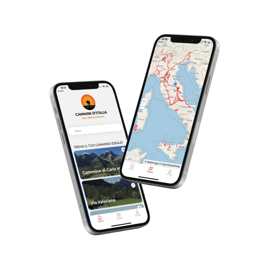
With the free Cammini d’Italia app, you can plan and walk the Via Spluga in total safety, being able to plan the stages in detail and walk the route thanks to the built-in GPS technology that supports your orientation during your adventure.
⠀Inside the app you will find many other paths present in Italy. Thanks to the georeferenced tracks of many routes you will be able to study the itinerary that suits you best and also download the GPX tracks of the individual STAGEs offline.
The app also includes a complete digital map of all the paths surveyed to date on our portal, giving you a wide range of choices among the many paths in the Belpaese.
⠀⠀
Cammini d’Italia is the perfect app for those who want to explore the beauty of Italy on foot, discovering hidden places surrounded by nature. Download it for free today and start planning your next adventure!
⠀
⠀
 ⠀⠀⠀
⠀⠀⠀