
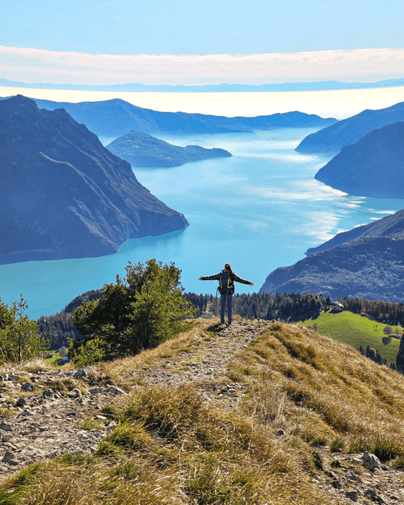
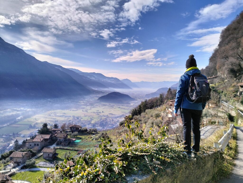
Lombardy is a region rich in history, culture and natural beauty and … in Camminos!
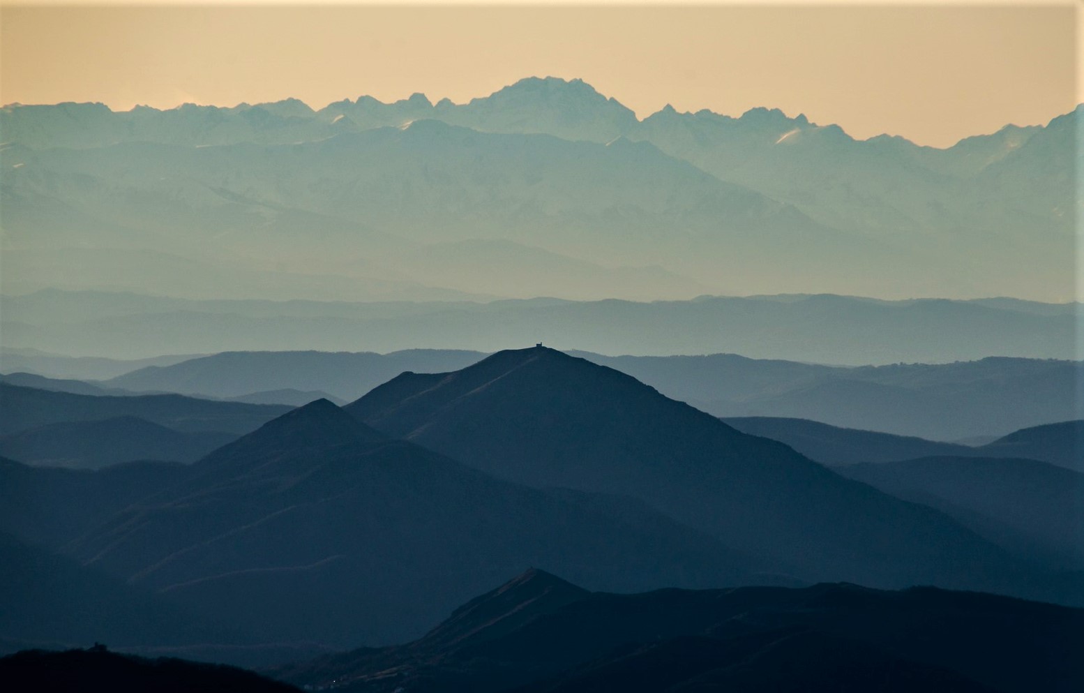
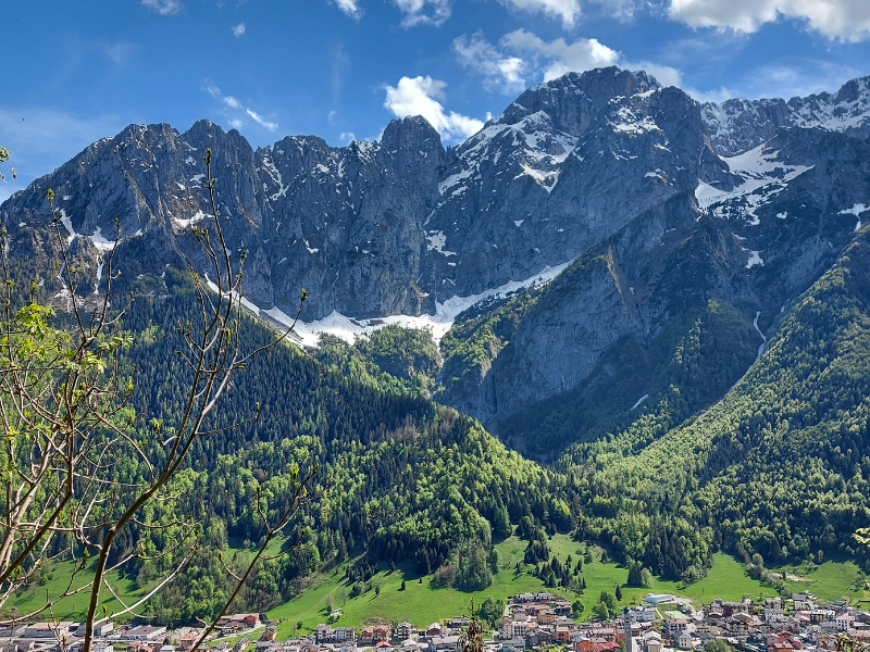
With its varied landscapes, ranging from the Alps to numerous lakes, via ancient villages and cities of art, it offers numerous itineraries for those wishing to explore its territory on foot.
In this article we will present you with a complete list of the paths in Lombardy, each with its own unique characteristics and history. We will discover together the Via Francigena, the Romea Strata, the Alta Via delle Grazie and many other routes that cross this Region.
We remind you that you can search for the path to do for you in the section “Paths” using the various filters (Example “Region Filter”).
Complete list of Paths in Lombardy
Below is a list of all the Paths in Lombardy on the Paths of Italy portal.
Via Francigena
Length: 3200 km
Stages: 105
Departure: Canterbury
Arrival: Rome or Santa Maria di Leuca if you wish to proceed along the Southern VIA FRANCIGENA
The Via Francigena is a historic Route that crosses Europe, uniting peoples, cultures and ideas. Following in the footsteps of ancient pilgrims, this thousand-year-old route winds through 5 states, 16 regions and more than 600 municipalities, offering a journey rich in history, art and spirituality.
The Camino begins in Canterbury, UK, and passes through France and Switzerland before entering Italy. On Italian soil, the Via FRANCIGENA touches several regions, including Lombardy, offering pilgrims and modern travelers a unique experience.
The history of this Way dates back to the early Middle Ages, when the Lombards created a safe route to connect the Kingdom of Pavia to the southern duchies. This route, initially known as the “Via di Monte Bardone,” later became the Via FRANCIGENA.
The current route is largely based on the travel diary of Sigeric, Archbishop of Canterbury, who in 990 A.D. noted the 80 STAGE stages of his return from Rome. This document is considered the most authoritative source for reconstructing the original itinerary.
Today, the Via FRANCIGENA is a Way accessible to all, free of technical difficulties and suitable for walking or cycling. It offers a unique opportunity to immerse oneself in European history and the beauty of the landscapes traversed, including those of Lombardy.
Discover the Via Francigena!
Alta Via delle Grazie
Length: 271 km (long version) or 161.3 km (short version)
Stages: 13 or 7
Departure: Bergamo
Arrival: Bergamo
TheAlta Via delle Grazie is a circular Way, starting and ending in the city of Bergamo, in the heart of Lombardy, conceived by Gabriella Castelli and Giovanni Battista Merelli.
The route can be completed in two versions: a longer one of 271 km in 13 STAGEs, and a shorter one of 161.3 km in 7 STAGEs. Both versions start and end in Bergamo, offering flexibility to walkers depending on their time and physical fitness.
The Cammino winds through an area rich in attractions, touching on the city of Bergamo, the Seriana Valley and the Alto Sebino, including the picturesque Lake Iseo. A distinguishing feature of this itinerary is the presence of 18 Marian shrines along the way.
Inspired by the famous Camino de Santiago, this route offers an opportunity for an inner and spiritual quest closer to home.
The organizers sought to create a Camino “a donative“, promoting a philosophy of sharing and community. Along the route, walkers can find facilities run by religious bodies, volunteers or private individuals, where they are encouraged to make free donations instead of paying fixed fees. This approach aims to eliminate economic barriers and foster an authentic experience of the Walk.
To learn more about this, we recommend reading the article“Donative facilities in Italy: the example of the Alta Via delle Grazie.”
Discover theAlta Via delle Grazie!

Cammino di Carlo Magno
Length: 225 km
Stages: 12
Departure: Bergamo
Arrival: Carisolo (Trentino Alto Adige)
The Cammino di Carlo Magno is a fascinating itinerary rich in legends, history and art, linking Bergamo, in Lombardy, to Carisolo, in Trentino Alto Adige.
The route runs mainly along the half coast of mountain ranges, presenting a medium level of difficulty. Nevertheless, walkers should be prepared for some challenging climbs and descents, especially near the Alpine passes.
The altimetry of the Camino is varied: it starts at 380 meters above sea level in Bergamo Alta and reaches 1883 meters at Tonale.
Several picturesque valleys will be crossed: the Valli D’Argon, Val Cavallina, Val Borlezza, Val Camonica, Val di Sole and Val Rendena. Along the way, walkers will have the opportunity to admire beautiful bodies of water such as Lake Endine, Lake Iseo and Lake Moro.
Legend has it that Charlemagne, traveling through the Camonica Valley, conquered the castles of local lords and converted them to Christianity. To celebrate his victories, the ruler had numerous churches built, sometimes on the ruins of previously destroyed castles. This history gives the Camino an aura of mystery and spirituality, allowing travelers to immerse themselves not only in the natural beauty of the area, but also in its rich historical and cultural heritage.
Discover the Cammino di Carlo Magno!
Via del Sale
Length: 87 km
Stages: 4
Departure: Varzi
Arrival: Portofino
The Via del Sale, with its 87 km divided into 4 STAGES, is an ancient route that connects Varzi to Portofino, crossing Lombardy, Emilia Romagna, Piedmont and Liguria. This Way retraces the ancient mule tracks used to transport salt from the ports of Liguria to the hinterland.
The Trail begins in Varzi, a beautiful Lombard village, and winds through mountainous and hilly landscapes, offering panoramic views of the Ligurian Sea and the Alpine arc. Along the way it crosses historic ridges and passes, known as “gioghi,” which were used for the salt trade since Roman times. The Liguria region has recently improved the signage on the Ligurian section of the trail, making it easier to find your way around.
The arrival in Portofino represents the culmination of a journey through history and nature, concluding the route in one of Liguria’s most iconic places.
Discover the Via del Sale!
Le Vie del Viandante
Total length of the grid routes: 220 km
Departure: depends on which route you choose to take
Arrival: depends on which route you choose to take
Le Vie del Viandante is a network of trails that crosses the Mesolcina Valley, Valchiavenna, Lake Como, and follows the course of the Adda River, also connecting Milan to San Bernardino in Switzerland and passing through some of the most picturesque areas of northern Italy and southern Switzerland.
There are twelve paths that make up this network of Paths; here is the complete list of Le Vie del Viandante:
- 1. Wayfarer’s Path
- 2. Via Spluga
- 3. Francisca Street
- 4. Leonardo’s Path
- 5. Via dei Monti Lariani
- 6. Royal Road
- 7. San Bernardino Street
- 8. Baldiscio Pass
- 9. Forcola Pass
- 10. Noter’s Mouth
- 11. Mouth of Agnon
- 12. Mouth of Camedo
Le Vie del Viandante are distinguished by their rich history related to trade between northern and southern Europe. These routes have witnessed the passage of wayfarers, traders, smugglers, pilgrims and armies who, over the centuries, have allowed men and goods to circulate despite geographic and political boundaries.
Walking along these ancient routes, walkers have the opportunity to immerse themselves in an area that played a crucial role in European communications. Each step along the Camino offers not only views of the lake, glimpses into colorful and authentic villages, but also a chance to relive history and understand the importance of these routes in shaping the cultural and economic identity of the Region.
Discover the Le Vie del Viandante network!

The Via Spluga
Length: 65 km
Stages: 4
Departure: Chiavenna
Arrival: Thusis
The Via Spluga one of the most famous and well-trodden routes of the Le Vie del Viandante Network.
This historic route, 65 km long and divided into 4 STAGES, follows in the footsteps of travelers of past eras who used this route for trade and communication between Italy and Central Europe.
The Cammino begins in Chiavenna, a town rich in charm and history, and winds through mountain landscapes of extraordinary beauty, crossing alpine passes and valleys. Each STAGE offers the opportunity to discover places of great historical and natural interest, such as ancient customs posts, historic bridges and quaint villages.
The route culminates in Thusis, Switzerland, after crossing the impressive Splügen Pass.
Discover the Via Spluga!

Via Valeriana
Length: 200 km
Stages: 12
Departure: Brescia
Arrival: Tonale Pass / Tirano
The Via Valeriana is an itinerary that runs from the city of Brescia to Tirano in Valtellina, passing through some of the most striking landscapes in Lombardy. This Cammino combines history, culture and nature in about 200 km.
The route starts in Brescia and runs through the renowned Franciacorta region, skirts Lake Iseo and enters the Camonica Valley. Upon reaching Edolo, the Path forks: one branch continues to the Aprica Pass and Tirano, while the other heads to the Tonale Pass.
Despite being considered of medium difficulty, the route presents several challenges with sometimes demanding ascents and descents, developing mainly along the half coast of the mountain ranges. The Camino is unidirectional: from the hills of Brescia and Franciacorta, it reaches the left bank of Lake Iseo, then follows the Camonica Valley, alternating between the valley slopes.
The Via Valeriana has a history stretching back thousands of years. Since ancient times, these paths have linked Lake Iseo and the Camonica Valley, facilitating the passage of men and goods to the plains, Brescia, and the Alpine passes. Some sections, already used in prehistoric times, were extended and improved in Roman and medieval times, falling into disuse only in the 19th century with the construction of easier roads in the valley bottom.
To walk the Via Valeriana is to immerse oneself in a journey through time and nature, discovering the evolution of the Lombard territory from the earliest times to the present day. It is an opportunity to explore Lombardy’s rich history and scenic beauty.
Discover the Via Valeriana!
Il Cammino di Sant’Ercolano
Length: 63.5 km
Stages: Three routes of different difficulty (urban, medium and complete)
Departure: Toscolano
Arrival: Toscolano
IL CAMMINO DI SANT’ERCOLANO is an itinerary that unfolds within the municipality of Toscolano Maderno, along the western shore of Lake Garda.
The diversity of the terrain and elevation difference have led to the creation of three different loop routes, which allow you to explore the most hidden and fascinating corners of Lake Garda, each with a different degree of difficulty, designed to offer an experience suitable for both trekking novices and more experienced hikers:
– Urban route, which runs around the promontory of Toscolano Maderno:
Length: 7.2 km
Positive elevation gain: 95 m
Negative elevation gain: 96 m
– Medium route, covering the hamlets and the headland:
Length: 29.7 km
Positive elevation gain: 1204 m
Negative elevation gain: 1050 m
– Complete route, which touches the entire territory of Toscolano Maderno:
Length: 63.5 km
Positive elevation gain: 3221 m
Negative elevation gain: 3229 m
The territory traversed by the Cammino, is extremely varied: starting from the flat mouth of the Toscolano stream, it climbs the moraine hills, passing through the Valle delle Cartiere and the picturesque Valle delle Camerate, until it reaches the peaks of the Lombard Pre-Alps, such as Mount Pizzocolo and Mount Spino.
Discover the Cammino di Sant’Ercolano!

Via Francigena of Lukmanier
Length: 138.6 km (Italian section)
Stages: 8
Departure: Lavena Ponte Tresa
Arrival: Pavia
The VIA FRANCISCA DEL LUCOMAGNO, also known as the Via Francisca del Lucomagno, is an ancient Roman-Longobard route that connects Constance, on the German-Swiss border, to Pavia. This historic path, which crosses the Alps via the Lukmanier Pass, enters Italy at Lavena Ponte Tresa 375 km after its beginning.
The Italian section of the route runs 138 kilometers (138 miles) through varied landscapes that include lush forests, bike paths, trails and secondary roads. Along the Camino, pilgrims have the opportunity to visit important cultural, artistic and religious sites, including two UNESCO sites and several cities of art, offering an experience rich in history and beauty.
The Via Francisca del Lucomagno boasts an illustrious past, having been traveled by many notable historical figures. In particular, it was the favorite road of kings and emperors of the Holy Roman Empire, such as Otto I the Great, Otto III, Henry II and Frederick Barbarossa, who were also kings of Italy. This royal history led to the transalpine stretch also being known as the “Way of the Emperors“.
Today, the Via Francigena del Lucomagno offers modern walkers the opportunity to retrace the footsteps of kings and pilgrims, immersing themselves in a journey through the history and natural beauty of the Lombardy region. The Camino ends in Pavia, where it joins the more famous Via Francigena headed toward Rome, creating a spiritual and cultural link between the heart of Europe and the Eternal City.
Discover the Via Francigena of the Lukmanier!

LA VIA DELLE SORELLE
Length: 130 km
Stages: 6
Departure: Brescia/Bergamo
Arrival: Bergamo/Brescia
La Via delle Sorelle is a bidirectional route linking the cities of Brescia and Bergamo, through 130 km of evocative landscapes rich in history. This Way, divided into 6 STAGES, reveals the face of two cities often associated mainly with their industrial heritage.
While the two cities are known for their industriousness and the entrepreneurial fabric that made them famous, it must be said that this Cammino also reveals their provinces, often unknown to most, but no less beautiful and interesting territories.
The route, in fact, is mainly developed in the hilly area of the two provinces, serving as a real “green artery” that leads to the discovery of ancient streets and routes rich in traditions and local products.
A distinctive feature of this Camino is its nature as an“open-air creative worksite.” Along the route, walkers can admire permanent works of art, accessible only on foot. These installations are designed to integrate harmoniously with their surroundings, reflecting the natural, historical, social and cultural identity of the area. The works embody values of beauty, solidarity, sustainability, ecology and sharing, dialoguing with the landscape in a respectful and low-impact way.
This Way not only physically connects two cities, but also creates a cultural and artistic bridge, inviting walkers to explore and appreciate the hidden wonders of this Region.
Discover La Via delle Sorelle!
Cammino Tre LAGHI
Length: 100 km
Stages: 6
Departure: Sovere
Arrival: Sovere
The Cammino Tre Laghi is a fascinating circular route of about 100 km that winds through the geographical area of the Mountain Community of the Bergamasque Lakes, in the eastern part of the province of Bergamo, Lombardy. This unique itinerary embraces the Alto Sebino, an area where the Borlezza, Cavallina and Camonica valleys meet, offering walkers a rich and varied experience.
As the name suggests, the common thread of this Cammino is water. In fact, the path touches three lakes of extraordinary beauty: Lake Iseo, Lake Endine and Lake Gaiano.
The Cammino Tre LAGHI is distinguished by its hybrid nature, halfway between a classic Camino and a trek. The route is extremely varied, alternating between flat stretches and challenging climbs and descents. It starts from the lowest elevation of Lake Iseo (185 m) to reach its highest point on Mount Colombina (1458 m). This elevation variety is reflected in a rich biodiversity: from olive groves at the lower elevations to spruce and larch forests at the higher elevations.
Due to its predominantly southern exposure, the Camino enjoys excellent sunshine, making it attractive in all seasons. This characteristic, combined with the variety of the landscape, offers walkers an experience that is always new and exciting, regardless of the time of year chosen for the hike.
An interesting aspect of the Cammino Tre LAGHI is the possibility to travel it in a tent as well. Suitable solutions are available for each STAGE, offering outdoor enthusiasts a more immersive, nature-based travel option in the heart of the Bergamo Pre-Alps.
Discover the Cammino Tre LAGHI!

La Via Decia
Length: 95 km
Stages: 5
Departure: Corna di Darfo
Arrival: Corna di Darfo
La Via Decia, subtitled “The Path of the Ironwoods,” is a fascinating 95-kilometer loop trail that winds through the Scalve Valley, originally known as the Decia Valley.
The route, divided into five STAGEs, guides walkers through centuries-old forests and villages rich in history, particularly related to iron ore mining, an activity that dates back to Roman times and has deeply marked the identity of this area.
The name“Ironwood Trail,” therefore, evokes the rich industrial history of the valley, where for centuries the forests provided the coal needed to fuel the furnaces for processing the iron extracted from the surrounding mountains.
Located between Val Camonica and Val Seriana, not far from Lake Iseo, the Scalve Valley reveals itself as a true hidden gem of the Lombard Pre-Alps. The Cammino takes place in the shadow of the majestic Presolana massif, passing through districts that have given birth to illustrious figures such as Cardinal Angelo Maj and sculptor Giò Piccini.
La Via Decia is not only a nature trail, but also a journey into memory. In fact, the Way was created to commemorate the centenary of the Gleno disaster, the tragic collapse of the dam that in 1923 caused the death of 359 people among the inhabitants of the Scalve and Camonica Valleys. This CAI (Italian Alpine Club) initiative thus aims to open to “beauty seekers” a treasure chest of nature, history and culture, inviting deep reflection on the relationship between man and the mountain environment.
Discover La Via Decia!
Cammino Mariano delle Alpi
Length: 91 km (Western Way)
Stages: 5
Departure: Piantedo
Arrival: Tirano
The Cammino Mariano delle Alpi is an itinerary of great religious, cultural and tourist significance that winds through the beautiful Valtellina. This route is designed to connect some of the most important places of Marian devotion in the province of Sondrio, culminating in the Shrine of Our Lady of Tirano, proclaimed in 1946 by Pope Pius XII “Heavenly Patroness of Valtellina.”
The Camino has two main routes: the Western Way and the Via Orientale.
The Western Way stretches 91 km from Piantedo to Tirano.
The Eastern Way, connecting Bormio to Tirano, on the other hand, is shorter (66 km) and is still in the planning stage, promising to further expand the Camino experience in the future.
A particularly interesting aspect of the Cammino Mariano delle Alpi is its integration with other existing networks of trails and paths. In particular, it is grafted onto the famous Via dei Terrazzamenti, an itinerary that crosses one of the most characteristic and evocative landscapes of Valtellina.
Discover the Cammino Mariano delle Alpi!
Did you enjoy the Cammini in Lombardy? Stay up to date on all the news about the Italian Cammini, subscribe to our Telegram channel!
For those who would like to learn more and better plan their own Camino, we invite you to visit each Cammino’s fact sheet, via the links in the article, or in the “Cammini” section of the website, filtering by “Lombardy” region.
We remind you that on all stores you can download the official Cammini d’Italia App, where you will find all the detailed information about the routes, stages and services available.
Happy Camino!
