
Cammino Minerario di Santa Barbara
The Cammino Minerario di Santa Barbara, thirty stages within the Historic Environmental Geomining Park of Sardinia in southwestern Sardinia. A historical, cultural, environmental and religious itinerary dedicated to the patron saint of miners, which unfolds along the ancient mining paths through churches and places of worship.
At the dawn of the industrial revolution in the 1800s it was Sardinia that provided, almost entirely, for the metal needs of the nascent Italian state. And the aim of the Cammino is to help people rediscover the ancient mining routes: from the paths trodden by miners on their way to work, to the old mule tracks and railways used to transport raw minerals. Trails along which a technical-scientific, historical-cultural, religious, landscape-environmental and socio-anthropological heritage of the Sardinian mining epic has been preserved.
Developed mainly on paths, mule tracks, cart tracks and unpaved driveways, only 25 percent of the Trail is on inner-city roads or short asphalt suburban sections. The entire route is marked with stickers, yellow arrows and aluminum labels, and you can also download a free app with all the information. It can also be done on horseback or by bicycle on alternative routes. There are support services for the walker along the route. Both in the villages crossed and in abandoned mining villages.
Technical Sheet
-
Length:
500 km -
Stages:
30 -
Departure:
Iglesias -
Arrival:
Iglesias
HISTORY
The idea of building a great itinerary in the largest and most representative area of the Historical and Environmental Geominerary Park of Sardinia, the Sulcis Iglesiente Guspinese, rediscovering the ancient mining paths now largely abandoned, was born by the volunteers of thenon-profit Pozzo Sella Per il Parco Geominerario Association following the great participation of citizens in the excursions organized by the same association after making numerous mining paths usable.
The Sella Shaft Association was born on November 5, 2001, in the basement of the Sella Shaft of the Monteponi mine, at the conclusion of the struggle that led to the establishment of the Historical and Environmental Geominerary Park of Sardinia.
The purpose of the association is to contribute to the development of the Geomining Park, the enhancement of Sardinia’s disused mining areas, the involvement of young people and also the identification of job opportunities within the Park itself.
The Cammino Minerario di Santa Barbara aims to pursue thegoal of handing down the memory of the men who over the past centuries and millennia made and walked the ancient mining paths with the pleasure of rediscovering the beauty of the area at a slow pace.
The idea of building a great itinerary in the largest and most representative area of the Historical and Environmental Geominerary Park of Sardinia, the Sulcis Iglesiente Guspinese, rediscovering the ancient mining paths now largely abandoned, was born by the volunteers of the non-profit Pozzo Sella Per il Parco Geominerario Association following the great participation of citizens in the excursions organized by the same association after making numerous mining paths usable.
The Sella Shaft Association was born on November 5, 2001, in the basement of the Sella Shaft of the Monteponi mine, at the conclusion of the struggle that led to the establishment of the Historical and Environmental Geominerary Park of Sardinia.
The purpose of the association is to contribute to the development of the Geomining Park, the enhancement of Sardinia’s disused mining areas, the involvement of young people and also the identification of job opportunities within the Park itself.
The Cammino Minerario di Santa Barbara aims to pursue the goal of handing down the memory of the men who over the past centuries and millennia made and walked the ancient mining paths with the pleasure of rediscovering the beauty of the area at a slow pace.
Following the signing of a Memorandum of Understanding between the municipalities of Iglesias, Buggerru, Fluminimaggiore, Arbus, Guspini, Gonnosfanadiga, Villacidro, Domusnovas, Musei, Villamassargia. Narcao, Nuxis, Santadi, Piscinas, Giba, Masainas, San Giovanni Suergiu, Sant’Antioco, Carbonia and Gonnesa, the Dioceses of Iglesias and Ales Terralba, the Provinces of Carbonia Iglesias and Medio Campidano, the Consortium of the Geominerario Historical and Environmental Park of Sardinia, ANCI SARDEGNA and the Pozzo Sella Association a partnership has been formed for the construction and management of the historical, cultural, environmental and religious itinerary called “C amino Mining of Santa Barbara.”
Thanks to the support of the signatories of the protocol and the contribution, passion and commitment of so many volunteers, an extraordinary amount of research and survey work on the ground has been initiated, including the definition of the itinerary, the work necessary for its recovery (which is still in progress), the guidelines for the final signage and the installation of the temporary one, the inventory of the heritage present along the route, and everything else needed for the organization of a Cammino.
CAPS
Stage 01 from Iglesias to Nebida
Length: 20.9 km
Elevation gain: Ascent 753 m – Descent 797 m
Difficulty: Medium
Duration: 7 hours
Stage 02 from Nebida to Masua
Length: 9.2 km
Elevation gain: Ascent 371 m – Descent 500 m
Difficulty: Medium
Duration: 3 hours 30 min.
Stage 03 from Masua to Buggerru
Length: 18.8 km
Elevation gain: 887 m – Descent 889 m
Difficulty: Challenging
Duration: 7 hours
Stage 04 from Buggerru to Portixeddu
Length: 9.5 km
Elevation gain: Ascent 464 m – Descent 460m
Difficulty: Easy
Duration: 3 hours 30 min.
Stage 05 from Portixeddu to Piscinas
Length: 16.2 km
Elevation gain: Ascent 462 m – Descent 467 m
Difficulty: Medium
Duration: 5 hours 30 min.
Stage 06 from Piscinas to Montevecchio
Length: 18.7 km
Elevation gain: Ascent 890 m – Descent 532 m
Difficulty: Medium
Duration: 6 hours 30 min.
Stage 07 from Montevecchio to Arbus
Length: 15.4 km
Elevation gain: Ascent 541 m – Descent 609m
Difficulty: Medium
Duration: 5 hours
Stage 08 from Arbus to Perd’e Pibera
Length: 15.4km
Elevation gain: Ascent 498 m – Descent 375 m
Difficulty: Medium
Duration: 5 hours
Stage 09 from Perd’e Pibera to Villacidro
Length: 15.6 km
Elevation gain: Ascent 975 m – Descent 1098 m
Difficulty: Challenging
Duration: 5 hours 30 min.
Stage 10 from Villacidro to Monti Mannu
Length: 18 km
Elevation gain: Ascent 571 m – Descent 502 m
Difficulty: Medium
Duration: 6 hours
Stage 11 from Monti Mannu to Arenas
Length: 15.5 km
Elevation gain: Ascent 912 m – Descent 667 m
Difficulty: Challenging
Duration: 5 hours 30 min.
Stage 12 from Arenas to Su Mannau
Length: 13.4 km
Elevation gain: Ascent 399 m – Descent 788 m
Difficulty: Easy
Duration: 4 hours
Stage 13 from Su Mannau to San Benedetto
Length: 14.6 km
Elevation gain: Ascent 687 m – Descent 485 m
Difficulty: Challenging
Duration: 5 hours
Stage 14 from San Benedetto to Case Marganai
Length: 7.3 km
Elevation gain: Ascent 472 m – Descent 127 m
Difficulty: Easy
Duration: 3 hours
Stage 15 from Case Marganai to Domusnovas-Musei
Length: 16.4 km
Elevation gain: Ascent 596 m – Descent 1187 m
Difficulty: Medium
Duration: 5 hours and 30 minutes
Stage 16 from Domusnovas-Musei to Orbai
Length: 17.6 km
Elevation gain: Ascent 530 m – Descent 323 m
Difficulty: Medium
Duration: 5 hours 30 min.
Stage 17 from Orbai to Rosas
Length: 18 km
Elevation gain: Ascent 641 m – Descent 723 m
Difficulty: Challenging
Duration: 6 hours
Stage 18 from Rosas to Nuxis
Length: 12.5 km
Elevation gain: Ascent 297 m – Descent 348 m
Difficulty: Easy
Duration: 4 hours
Stage 19 from Nuxis to Santadi
Length: 15.3 km
Elevation gain: Ascent 390 m – Descent 457 m
Difficulty: Easy
Duration: 4 hours
Stage 20 from Santadi to Is Zuddas.
Length: 15.6 km
Elevation gain: Ascent 191 m – Descent 216 m
Difficulty: Easy
Duration: 5 hours
Stage 21 from Is Zuddas to Masainas
Length: 24.6 km – with a visit to the Murecci nuraghe 28 km
Elevation gain: Ascent 826 m – Descent 873 m
Difficulty: Challenging
Duration: 8 hours
Stage 22 from Masainas to Candiani
Length: 19.3 km
Elevation gain: Ascent 333 m – Descent 370 m
Difficulty: Medium
Duration: 6 hours 30 min.
Stage 23 from Candiani to Tratalias
Length: 24 km
Elevation gain: Ascent 433 m – Descent 437 m
Difficulty: Challenging
Duration: 8 hours
Stage 24 from Tratalias to Sant’Antioco
Length: 16.9 km
Elevation gain: Ascent 199 m Descent 179m
Difficulty: Medium
Duration: 5 hours 30 min.
Stage 25 from Sant’Antioco to Carbonia
Length: 23.4 km
Elevation gain: Ascent 273 m – Descent 198 m
Difficulty: Medium
Duration: 7 hours 30 min.
Stage 26 from Carbonia to Nuraxi Figus
Length: 22.5 km
Elevation gain: Ascent 504 m – Descent 498 m
Difficulty: Challenging
Duration: 8 hours
Stage 27 from Nuraxi Figus to Carloforte
Length: 11.4 km
Elevation gain: Ascent 196 m – Descent 310 m
Difficulty: Easy
Duration: 3 h 30 min + 40 min ferry
Stage 28 from Carloforte to Portoscuso
Length: 18.8 km
Elevation gain: Ascent 412 m – Descent 412 m
Difficulty: Challenging
Duration: 6 h 30 min + 40 min ferry
Stage 29 from Portoscuso to Bacu Abis.
Length: 18.8 km
Elevation gain: Ascent 459 m – Descent 386 m
Difficulty: Challenging
Duration: 6 hours 30 min.
Stage 30 from Bacu Abis to Iglesias
Length: 14.7 km
Elevation gain: Ascent 491 m – Descent 386 m
Difficulty: Medium
Duration: 5 hours
WATER SOURCES.
Scarce, it is recommended to always leave with the necessary water supply.
SERVICES
SERVICES PRESENT STAGE BY STAGE
STAGE 01
Departure from Iglesias where all services are present and arrival in Nebida where there are bars, pizzeria, market, pharmacy.
TAPP 02
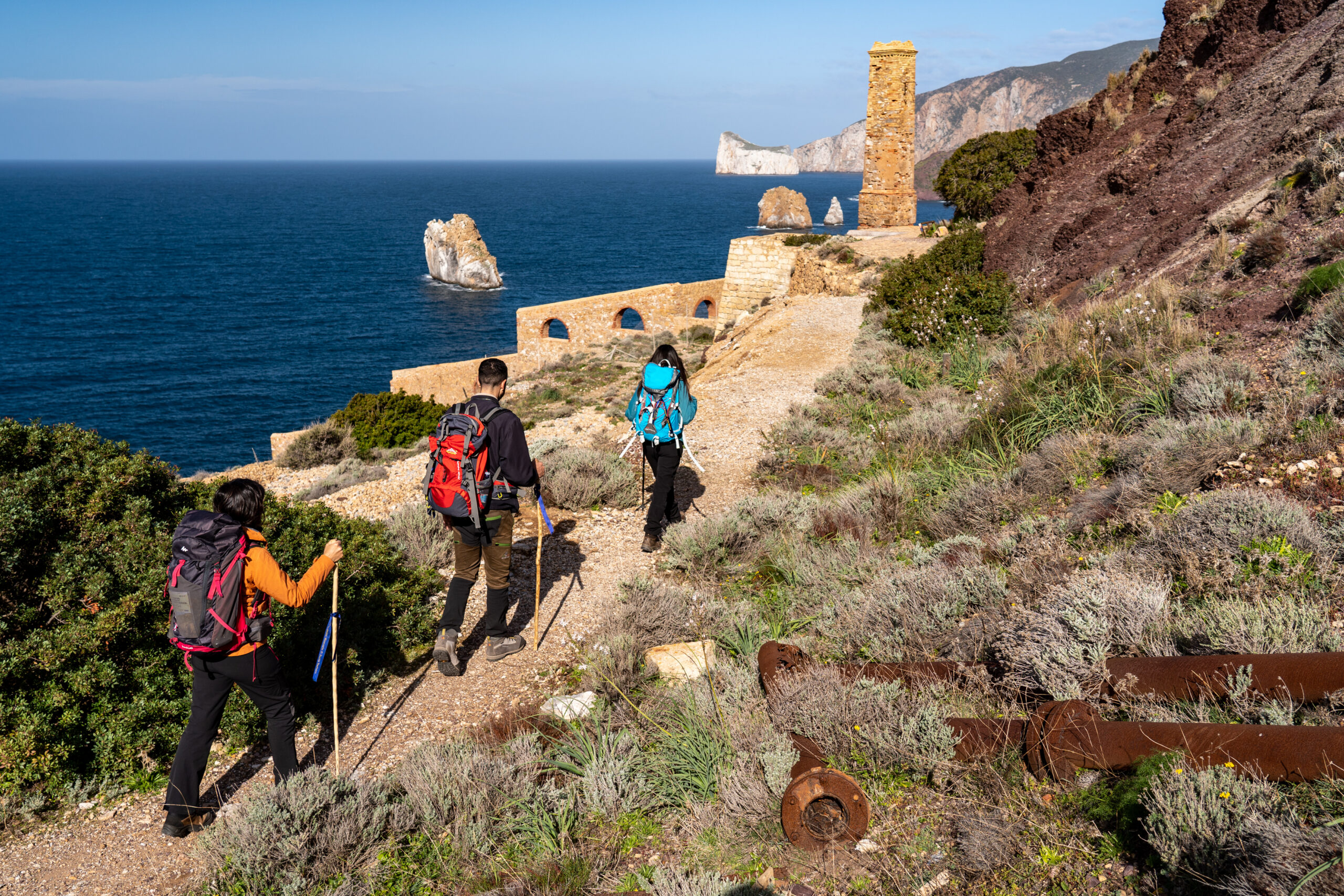
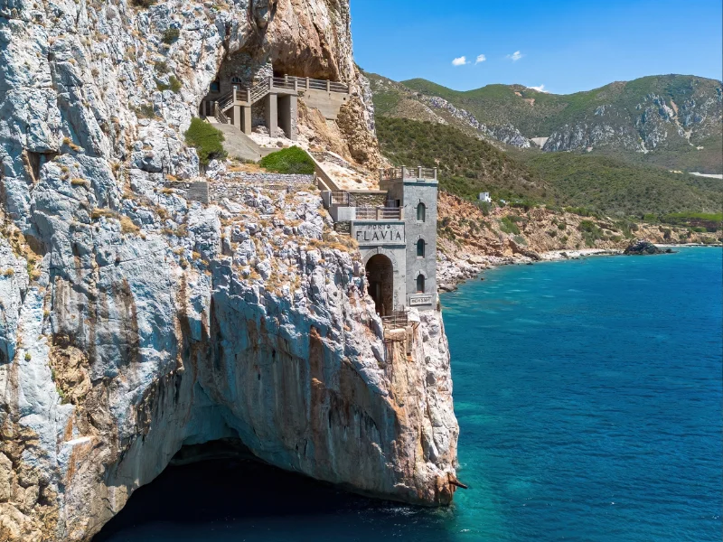
There is no service in Masua, in summer the beach bar and the bar at the Porto Flavia site are open, for dinner we suggest asking Valerio from the scout center where you are staying.
TAPP 03
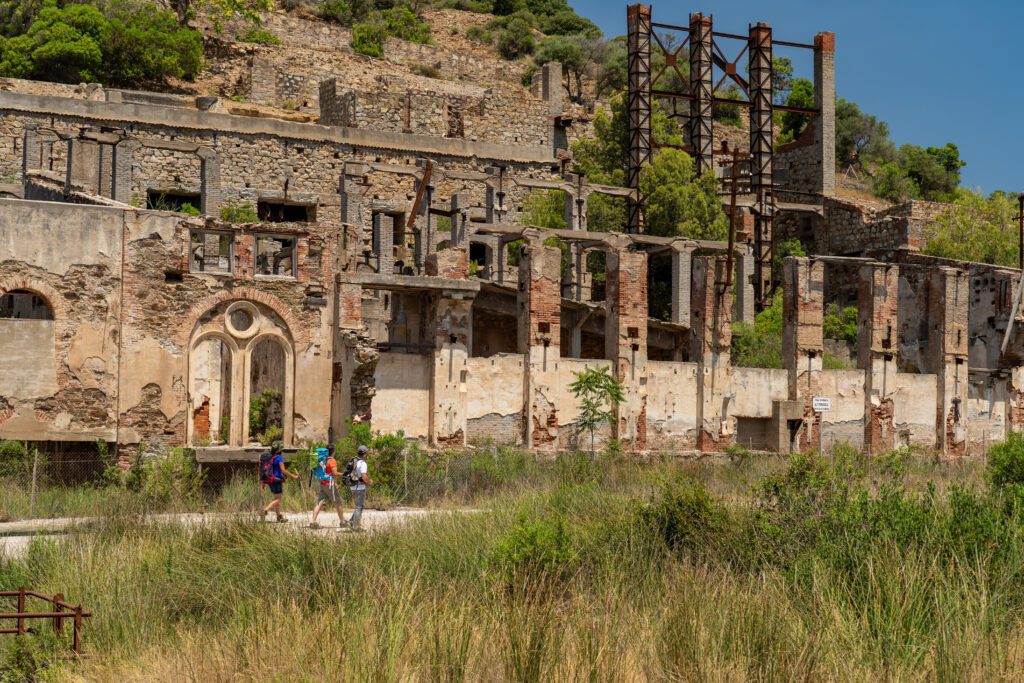
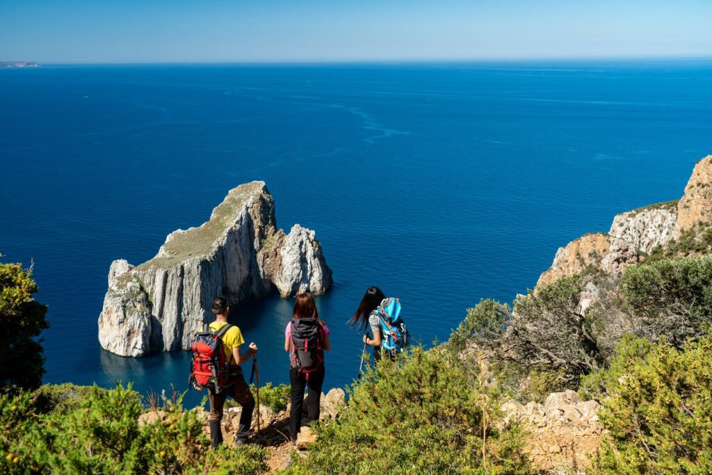
All services are present in Buggerru.
TAPP 04
In Portixeddu present only two restaurants and bars.
TAPP 05
In Piscinas (Arbus) no service, it is necessary to continue to the campsite or Posada di Pitzinurri
CAPTION 06
Montevecchio, there is a bar and a kiosk.
TAPP 07
All services are present in Arbus
TAP 08
As Perd’e Pibera hospitality is not yet available, it is necessary to stop in Gonnosfanadiga where all services are present.
CAPTION 09
All services are present in Villacidro.
STAGE 10
In Monti Mannu there is no service, you will find a pantry provided in the Posada and the possibility of requesting a grocery to be found at the facility according to your needs. It should be noted that there is no telephone line, there is a satellite phone for emergencies.
STAGE 11
In Arenas there are no services, as with Monti Mannu you will find everything in the facility, or you can proceed along the next stage and arrive at Agriturismo Pubusinu. Since they are not inhabited centers there are no services. Telephone line absent in the first part of the route.
STAGE 12
No services, you stay and eat meals at Su Mannau Hostel
STAGE 13
St. Benedict, present a grocery store and pantry stocked in the Posada
STAGE 14
It is merged with the next one as it is very short, no service
TAP 15
Domusnovas-Musei all services are present
TAP 16
It is merged with the next one, no service
STAGE 17
In Rosas present restaurant and bar/pizzeria
CAPTION 18
All services present in Nuxis
TAP 19
All services present in Santadi
TAPP 20
In Is Zuddas present restaurant
TAPP 21
All services present in Masainas
TAPP 22
Candiani features restaurants and bars during summer periods
TAPP 23
In Tratalias present market, bar, agritourism
STAGE 24
In Sant’Antioco present all services
TAPP 25
All services present in Carbonia
ROUTE 26
In Nuraxi Figus
STAGE 27
In Carloforte present all services
STAGE 28
All services present in Portoscuso
STAGE 29
In Bacu Abis present bar, pizzeria, market, bakery and pharmacy
TAPP 30
Iglesias, all services present
SIGNAGE
The path is totally marked with metal tags or stickers with the logo of the path and the yellow arrow, milestones to mark the beginning/end of the stages.
IN TENT
In Sardinia, camping is not allowed except in the equipped and authorized spaces; bivouacking is allowed instead.
CREDENTIALS
Credentials can be purchased online or at our office at a cost of 5 euros.
ROAD BOTTOM.
75% unpaved
25% paved roads and asphalt
CONTACTS
CONTACTS
Foundation Cammino Minerario di Santa Barbara
Via Cattaneo 70, 09016 Iglesias (SU)
Phone: 0781 24132
Email: info@camminominerariodisantabarbara.org
From the crystal-clear sea of Sant’Antioco to the dense forests of Marganai, from the white dunes of Piscinas to the spectacular caves of Is Zuddas, an unforgettable journey of discovery in southwestern Sardinia, amid evocative disused mines, tunnels overlooking cliffs, ghost villages and ancient railroads that get lost in the woods.
Devotional fil rouge is the cult of St. Barbara, patron saint of miners, whose churches dot this splendid historical and nature itinerary. A loop trail from Iglesias winds along the tracks and paths trodden by miners throughout 8,000 years of history, from the Neolithic to the 20th century.
Third updated edition with new variants and hospitality, all useful information: when to start, what to bring, maps, elevations, elevation differences, route description, where to sleep, places to visit. Plus, stories and testimonials from those who have worked in the mine.

Listen to our podcast
Trekking Diaries
Insights
Cammino Minerario di Santa Barbara
With the free Cammini d’Italia app, you can plan and walk Cammino Minerario di Santa Barbara safely, being able to plan the stages in detail and walk the route thanks to the integrated GPS technology that supports your orientation during your adventure.
⠀Inside the app you will find many other paths present in Italy. Thanks to the georeferenced tracks of many routes, you will be able to study the itinerary that suits you best and also download the GPX tracks of the individual stages offline.
The app also includes a complete digital map of all the paths surveyed to date on our portal, giving you a wide range of choices among the many paths in the Belpaese.
⠀⠀
Cammini d’Italia is the perfect app for those who want to explore the beauty of Italy on foot, discovering hidden places surrounded by nature. Download it for free today and start planning your next adventure!
⠀
⠀
